

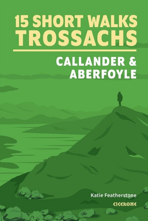
Wandelgids Trossachs NP, Callander and Aberfoyle - Cicerone
15 Short Walks in Bracklinn Falls- Callander Crags- Loch Katrine
Korte omschrijving
Wandelgidsen Highlands, Schotland van CICERONE Press. Ideaal voor tochten in Schotland.
Wandelgids Trossachs NP Schotland, Callander and Aberfoyle Productomschrijving: Would you like to explore the best of Callander, Aberfoyle and the Trossachs National park? This guidebook co...

Specificaties
- Uitgever: CICERONE Press
- ISBN-13: 9781786312341
- HOOFDCATEGORIEËN: Wandelgids
- Activiteiten: Wandelen, Hiking & Trekking
- Auteur: Katie Featherstone
- Regio: Highlands, Schotland
- Land: Schotland
- Nationale parken: Trossachs NP, Schotland
- Editie: 1
- Taal: Engels
- Iconische Bergketens van Europa: De Schotse Highlands
Volledige omschrijving
Wandelgids Trossachs NP Schotland, Callander and Aberfoyle
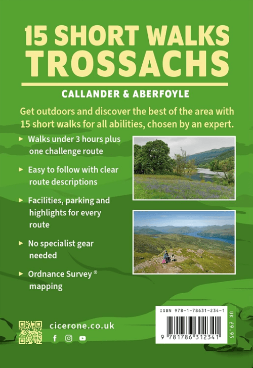
Productomschrijving: Would you like to explore the best of Callander, Aberfoyle and the Trossachs National park? This guidebook covers 15 of the best short walks in the area (between 3 and 14km), including Bracklinn Falls, Callander Crags, Loch Katrine, Ben A'an, Primrose Hill and Fairy Knowe.
Why choose this guidebook?
- Walks under three hours, plus one challenge route
- Easy to follow with clear route descriptions
- Facilities, parking and highlights for every route
- No specialist gear needed, walk all year round
- Ordnance Survey mapping
- Cicerone’s Short Walks guidebooks contain everything you need to get outdoors and discover the best of an area.
The routes are perfect if you’re new to walking or looking for something you can enjoy with the whole family. Let the adventures begin!
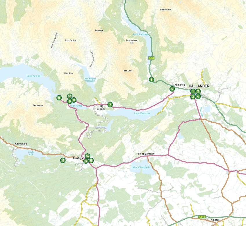
Locatie op kaart
Artikelen uit dezelfde regio

Wandelgids 027 Pathfinder Perthshire "big county" Angus & Five OS • 9780319091289
Wandelgids Perthshire, Angus & Five - OS Productomschrijving: Each of the Jarrold Pathfinder titles features 28 circular routes, all tried and tested by seasoned walkers. The routes range from extended strolls to exhilarating hikes, so there is something for everyone. They also contain: - Ordnance Survey mapping; - Background details of each area; - Details of refreshment stop…

Wandelkaart OL37 Cowal East- Dunoon & Iverary - OS • 9780319242766
Wandelkaart Cowal East- Dunoon & Iverary - OS Productomschrijving: Cowal East- Dunoon & Iverary, & Part of Loch Lomond & The Trossachs National Part. Omvat: Cowal East- Dunoon & Iverary, & Part of Loch Lomond & The Trossachs National Part, Argyll Forest Park, Kyles of Bute National Scenic Area, Cowal Way & the West Island Way. Ontdek de OL-serie van Ordnance Survey: De OL-serie (…
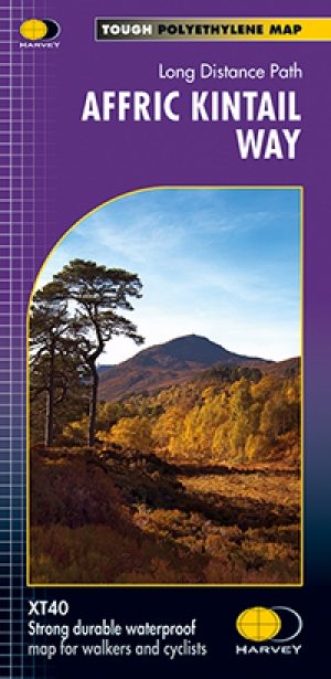
Wandelkaart Fietskaart Affric Kintail Way - Harvey maps • 9781851375530
Wandelkaart - Fietskaart Affric Kintail Way - Harvey maps Productomschrijving: De "Afric Kintail Way" is een prachtige cross-country route voor wandelaars, mountainbikers en ruiters, die voor bijna 44 mijl loopt, van "Drumnadrochit" tot aan de "Loch Ness" bij "Morvic" in de "Kintail" door tot "Loch Duich". Het pad is in de nabijheid van de Great Glen bij Drumnadrochit, en biedt de reizige…
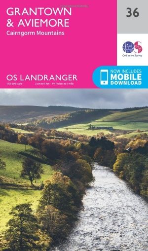
Wandelkaart 36 Grantown & Aviemore - Cairngorms - OSI • 9780319261347
Wandelkaart Grantown & Aviemore - Cairngorms Schotland Productbeschrijving: Kaart nummer 36 in de OS Landranger kaarten reeks, is de ideale kaart voor de planning van dagexcursies en vakanties in het Cairngorms National Park, Grampian Mountains en het gebied rond Aviemore. Ook op de kaart is de Speyside way, Ben Macdui (Beinn MacDuibh), Meall een ' Bhuachaille, Strathavon, Kinveachy bos, D…

Wandelkaart 27 Nairn & Forres- Highland's Schotland - OSI • 9780319261255
Wandelkaart Nairn & Forres - Highland's Schotland Productbeschrijving: OS Landranger kaart 27 toont de Moray Firth, net ten oosten van Inverness. De kust stad van Nairn is een populaire vakantiebestemming, of neem de Moray Coastal Trail langs Forres aan de Findhorn. De OS Landranger kaarten reeks heeft betrekking op Groot-Brittannië met 204 gedetailleerde kaarten, perfect voor dagtocht…