

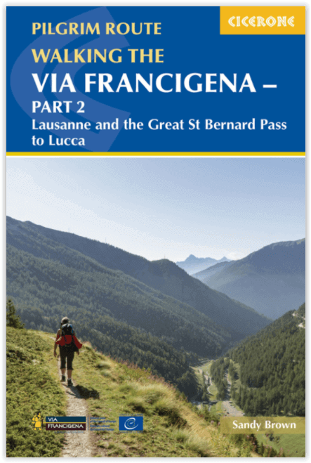
Wandelgids Via Francigena - Part 2 Saint Bernard Pass > Toscane - Cicerone
725 km over de Great Saint Bernard Pass naar Toscane
Korte omschrijving
Wandelgidsen Wallis, Zwitserland van CICERONE Press. Ideaal voor tochten in Italië en Zwitserland.
Via Francigena pilgrim route - Part 2 Productomschrijving: Deze gloed nieuwe gids beschrijft Deel 2 van de pelgrimroute tussen Lausanne in Zwitserland tot de stad Lucca in Italië. De 725 km ...

Specificaties
- Uitgever: CICERONE Press
- ISBN-13: 9781786310866
- HOOFDCATEGORIEËN: Wandelgids
- Activiteiten: Wandelen, Hiking & Trekking
- Regio: Wallis, Zwitserland
- Land: Italië, Zwitserland
- Bedevaart routes: Via Francigena Lausanne tot Lucca - Part 2
- Editie: 1
- Taal: Engels
- Iconische Wandelroutes: Via Francigena - Canteburry tot Rome
- De Italiaanse Regio's: Toscane
Volledige omschrijving
Via Francigena pilgrim route - Part 2
Productomschrijving: Deze gloed nieuwe gids beschrijft Deel 2 van de pelgrimroute tussen Lausanne in Zwitserland tot de stad Lucca in Italië. De 725 km lange trek loopt over de Alpen via de grote Saint Bernard Pass, daalt dan af naar de Po vallei, over de Cisa pass tot in Toscane in 32 etappes
Engelse omschrijving: Guidebook to the Via Francigena pilgrim route from Lausanne to Lucca. Starting at Lake Geneva (Lac Léman), the 725km route crosses the Alps at historic Great Saint Bernard Pass, descends the Po Valley, then climbs to cross the Cisa Pass into Tuscany. Described in 32 stages, with information on facilities and pilgrim hostels.
- Seasons:
Suitable for walking in spring, summer and autumn. The Great Saint Bernard Pass is fully open to hikers only in August and September.
- Centres:
Lausanne, Martigny, Great Saint Bernard Pass, Aosta, Ivrea, Vercelli, Pavia, Piacenza, Pontremoli, Pietrasanta, Lucca.
- Difficulty:
Each stage is graded for difficulty (1-4). A few mountainous stages include steep and slippery slopes. No special gear is required to walk the Via Francigena in season, but off-season crossings of the Great Saint Bernard Pass require winter mountain gear and careful attention to changing mountain conditions.
- Must See:
Dazzling Lake Geneva, the 1500-year-old Abbey of Saint-Maurice, the spectacular 2469m Great Saint Bernard Pass across the Alps, the emerald peaks of Italy's Aosta Valley, well-preserved medieval cities of Vercelli, Pavia and Piacenza, spectacular views from the Monte Valoria at the Cisa Pass, resorts of the Lunigiana coastline and the charming walled city of Lucca.

Locatie op kaart
Artikelen uit dezelfde regio

Fietskaart 2 Visp Wallis Zwitserland - Outkomm • 9783905916317
Supertrail map Visp- Wallis Zwitserland - Outkomm Productomschrijving: Een kanton in het Zwitserse Wallis regio, die wat Mtb betreft voor zich spreekt. Deze locatie is uitermate geschikt voor Mtb'ers, en uitaard ook voor waaggalzen. Uitgever zelf: Op basis van de kennis van de lokale bevolking en speciaal onderzocht door de kaartauteurs bevatten de Supertrail Maps singletrails i…


Wandelkaart 1306 Sion Nendaz Wallis - Swisstopo • 9783302013060
Wandelkaart Sion- Nendaz-- Wallis Zwitserland - Swisstopo Productomschrijving: kaart 1306 - Sion is een NIET skigebied gelegen langs de E62 die als hoofd atractie niet alleen de bergen en landschappen omheen bieden, maar ook het bekende Chateau de Valère Detail: Zeer gedetailleerde wandelkaart van een Zwitserland deel. De topografische details van deze kaarten zijn heel juist in hun so…
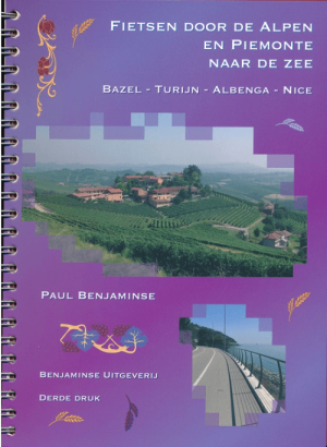
Fietsen door de Alpen en Piemonte naar de zee - Benjaminse • 9789077899359
Fietsen door de Alpen en Piemonte naar de zee - Benjaminse Productomschrijving: Fietsroute Door de Alpen en Piemonte naar de Zee Aantal detailkaarten: 67, schaal 1:100.000 Aantal stadskaarten: 6, schaal varieert Afstand: 775 km + 170 km langs Italiaanse Meren + 125 km via Turijn Moeilijkheidsgraad: Gemiddeld, voor de echte zwaardere beklimmingen zoals de Simplonpas, kan men ee…
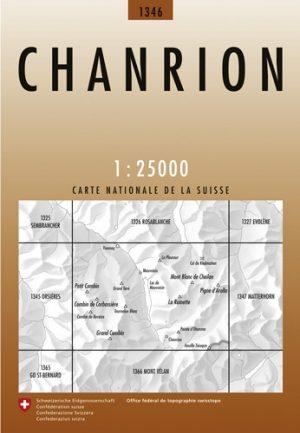
Wandelkaart 1346 Chanrion Wallis - Swisstopo • 9783302013466
Wandelkaart Chanrion Wallis - Swisstopo Productomschrijving: Kaart 1346 - Op de weg van Martigny langs de E62 gelegen, en vlak naast Sion, ligt Chanrion pal naast het Forèt des Grands Pras Detail: Zeer gedetailleerde topografische kaarten & wandelkaarten van een klein stuke Zwitserland met schaal 1:25.000.en nr 1011 > 1374. De topografische details van deze kaarten zijn onmetelijk goed…
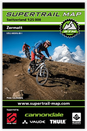
Fietskaart 49 Zermatt Zwitserland - Outkomm • 9783905916881
Zermatt Zwitserland - Outkomm Productomschrijving: Gedetailleerd, volledig en compact - de SUPERTRAIL MAP Zermatt. De beste singletrails in de beste mountainbikegebieden van Europa! - De Supertrail Maps zijn gebaseerd op topografische kaarten op schaal 1:50.000/1:25.000 en voorzien alle nodige informatie voor het plannen en uitvoeren van een mountainbiketocht. De technische moeilijkheidsg…