

Wandelgidse The Cleveland Way - Trailblazer
North York Moors NP - Helmsley to Filey to Helmsley 128 Km

Korte omschrijving
Wandelgidsen Yorkshire, England van Trailblazer Publications. Ideaal voor tochten in England.
The Cleveland Way - Trailblazer Productomschrijving: De Cleveland Way is een "National Trail" in het prachtige wilde landschap van het North York Moors National Park. Het loopt 107,4 mijl (1...

Specificaties
- Uitgever: Trailblazer Publications
- ISBN-13: 9781912716494
- HOOFDCATEGORIEËN: Wandelgids
- Activiteiten: Wandelen, Hiking & Trekking
- Auteur: Bradley Mayhew, Henry Stedman
- Regio: Yorkshire, England
- Land: England
- Lange afstand wandelroutes: Cleveland Way (177km)
- Nationale parken: North York Moors NP, England
- Editie: 2
- Taal: Engels
- National Trails UK, England & Wales: Cleveland Way, England
Volledige omschrijving
The Cleveland Way - Trailblazer
Productomschrijving: De Cleveland Way is een "National Trail" in het prachtige wilde landschap van het North York Moors National Park. Het loopt 107,4 mijl (127,9 km) Van Helmsley bij Thirsk rond de westelijke rand van het park om de kust bij Saltburn-by-the-Sea te bereiken. Vervolgens gaat de route langs de oostelijke rand van het park zuidwaarts langs de kust via Whitby, Robin Hood's Bay en Scarborough naar de finish in Filey. Door de combinatie van heide en kust biedt deze wandeling een prachtige landschappelijke afwisseling, met afbrokkelende kastelen en idyllische vissersdorpjes.
Engelse omschrijving: The Cleveland Way is a National Trail set in the beautiful wild countryside of the North York Moors National Park. It runs 107.4 miles (127.9km) from Helmsley near Thirsk around the western edge of the park to reach the coast at Saltburn-by-the-Sea. It then continues along the eastern edge of the park south down the coast through Whitby, Robin Hood’s Bay and Scarborough to finish in Filey. Combining moorland and coast, there’s wonderful scenic variety to this walk, with crumbling castles and idyllic fishing villages to explore.
- Includes 48 detailed walking maps: the largest-scale maps available – At just under 1:20,000 (8cm or 31/8 inches to 1 mile) these are bigger than even the most detailed walking maps currently available in the shops
- Unique mapping features – walking times, directions, tricky junctions, places to stay, places to eat, points of interest. These are not general-purpose maps but fully edited maps drawn by walkers for walkers
- Itineraries for all walkers – whether hiking the entire route or sampling highlights on day walks or short breaks
- Detailed public transport information for all access points
- Practical information for all budgets What to see; where to eat (cafés, pubs and restaurants); where to stay (B&Bs, hotels, bunkhouses, hostels and campsites)
- Includes downloadable GPS waypoints
Artikelen uit dezelfde regio
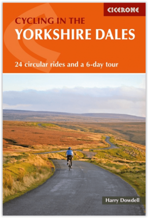
Fietsgids Cycling The Yorkshire Dales - Cicerone • 9781786310170
Fietsgids - Cycling The Yorkshire Dales - Cicerone Productomschrijving: Deze gids beschrijft 23-dagroutes, gesorteerd op afstand, klimgradatie en algehele helling, allemaal geschikt voor racefietsen en geïllustreerd met gedetailleerde kaarten en profielen. Bovendien neemt een route van zes etappes alle hoogtepunten in beslag, waaronder Grassington, Leyburn, Hawes, Kirkby Stephen, Ingleton …

Wandelgids Nidderdale short walks - Cicerone • 9781786311542
Nidderdale short walks - Cicerone Productomschrijving: Jon Fallis heeft 15 van de beste korte wandelingen rond Nidderdale in de Yorkshire Dales voor u uitgezocht. Onze gids is voorzien van goed leesbare Ordnance Survey-kaarten en duidelijke routebeschrijvingen, perfect als u voor het eerst gaat wandelen of iets zoekt waar u met het hele gezin van kunt genieten. We hebben informatie opgenom…

Reisgids Go Slow North York Moors & Yorkshire Wolds - Bradt • 9781804690093
Reisgids North York Moors national park - Bradt Productomschrijving: Inwoner van Yorkshire, natuurliefhebber en reisschrijver Mike Bagshaw (Auteur) heeft deze nieuwe 3e van Bradt's North York Moors & Yorkshire Wolds, onderdeel van Bradt's bekroonde serie Go Slow travel gidsen over Britse regio's, grondig bijgewerkt. Het blijft de enige zelfstandige gids voor deze regio van contrasten. Wand…
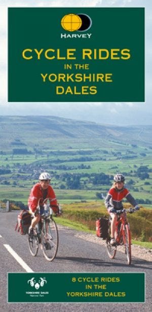
Fietskaart Yorkshire Dales - Harvey maps • 9781851374014
Fietskaart Yorkshire Dales - Harvey maps Productomschrijving: 8 ritten in de Yorkshire Dales variërend in lengte van 11 tot 23 mijl. Bevat gedetailleerde kaarten en geschreven routebeschrijving. Informatie over lokale punten van belang en sites om te bezoeken. Telefoonnummers van toeristische informatiecentra en andere nuttige contacten. Nieuwe generatie HARVEY Superwalker, XT25 water…
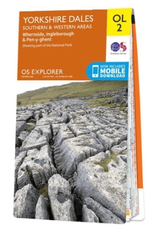
Wandelkaart OL02 Yorkshire Dales - South& Western areas - OS • 9780319263310
Wandelkaart OL2 Yorkshire Dales - South& Western areas - OS Productomschrijving: Yorkshire Dales Nationale Park - South& Western areas, Whernside, Ingleborough & Pen-y-ghent, The AONB Area's of Forest of Bowland & Nidderdale AONB. Yorkshire three peaks, The Devils Bridge at Kirkby Lonsdale, Leeds to Liverpool Canal at Skipton, The Pennine Way, Settle, and Old Town. Omvat: Whernside, I…