
Wandelkaart 21 Strangford Lough County Cork - OSNI
Newtownards - Downpatrick - Comber


Korte omschrijving
Wandelkaarten County Cork, Ierland en Northern Ireland, UK van Ordnance Survey. Ideaal voor tochten in Noord Ierland.
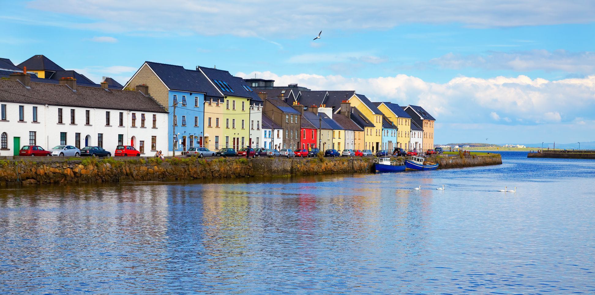
Wandelkaart Strangford Lough County Cork - Ordnance Survey Productomschrijving: Strangford Lough is een inlaat/haven(tje) van de Ierse Zee in het noordoosten van Ierland. Maps in the Dis...

Specificaties
- Uitgever: Ordnance Survey
- ISBN-13: 9781911643074
- HOOFDCATEGORIEËN: Wandelkaart
- Activiteiten: Wandelen, Hiking & Trekking
- Regio: County Cork, Ierland, Northern Ireland, UK
- Land: Noord Ierland
- TOPO's & Stafkaarten: Topografisch wandelen
- Schaal: 1:50000
- Taal: Engels
- Reeks/Serie: OSNI, Northern Ireland
Volledige omschrijving
Wandelkaart Strangford Lough County Cork - Ordnance Survey
Productomschrijving: Strangford Lough is een inlaat/haven(tje) van de Ierse Zee in het noordoosten van Ierland.
Maps in the Discoverer series have contours at 10m intervals, with plenty of spot heights and bold altitude colouring above 150m. Graphics indicate different types of woodlands. In coastal areas the maps show high and low water mark, cliffs, mud/shingle or sand, etc. Road network grades minor roads according to their widths, includes local tracks and shows gradients on steep routes. Railways are shown with stations and the maps include other details expected of topographic mapping at this scale.
An overprint highlights waymarked walking trails as well as cycle routes of the Sustrans National Cycle Network. Boundaries of National Trust land are marked, indicating areas with limited opening. Places of interest are prominently highlighted and a range of symbols provide other tourist information including camping or caravan sites and youth hostels, bus stations, parking, picnic areas, viewpoints, gold courses, etc. Each map covers an area of 40 x 30km (25 x 19 miles approximately) and has a 1km Irish Grid, plus latitude and longitude margin ticks at 1' intervals. Map legend is English, French and German. On the reverse each sheet has an indexed monochrome map showing townland boundaries.

Overzichtskaarten

OSNI Northern Ireland - OSNI
OSNI Northern Ireland - OSNI

Producten op de overzichtskaart
Klik op een product om naar de detailpagina te gaan.
- Wandelkaart 04 Discoverer Coleraine- Northern Ireland - OSNI
- Wandelkaart 05 Discoverer Ballycastle - Discoverer series - OSNI
- Wandelkaart 07 Discoverer Londonderry- Ulster - N.Ireland - OSNI
- Wandelkaart 08 Ballymoney County Antrim - OSNI
- Wandelkaart 09 Larne County Antrim - OSNI
- Wandelkaart 13 The Sperrins Ulster N. Ireland - OSNI
- Wandelkaart 14 Discoverer Lough Neagh - Antrim - N.Ireland - OSNI
- Wandelkaart 17 Discoverer Lower Lough Erne - OSNI
- Wandelkaart 18 Discoverer Enniskillen & Irvinestown - OSNI
- Wandelkaart 19 Armagh Northern Ireland - Ordnance Survey
- Wandelkaart 20 Discoverer Craigavon- N.Ireland - OSNI
- Wandelkaart 21 Strangford Lough County Cork - OSNI
- Wandelkaart 27 Upper Lough Erne (Lisnaskea) - OSNI
- Wandelkaart 28 Monaghan-Keady (Castleblayney) - OSNI
- Wandelkaart 29 Discoverer The Mournes - OSNI
Artikelen uit dezelfde regio

Stadsplattegrond Discovery Series Cork city Ireland - OSI • 9781908852748
Stadsplattegrond Cork city Ireland - OSI Productomschrijving: Een gedetailleerde stadskaart van Cork City & omgeving. Compleet met street index, places of interest & City Centre details.
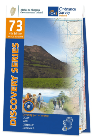
Wandelkaart 73 County Cork & Limerick - OSI • 9781912140374
Wandelkaart County Cork & Limerick - OSI Productomschrijving: Ontdek Ierland met de Discovery Series Wandelkaarten van Ordnance Survey Ireland. Omvat de Counties: Cork & Limerick De Discovery Series wandelkaarten van Ordnance Survey Ireland (OSi) zijn dé keuze voor wandelaars, fietsers en avonturiers die Ierland echt willen verkennen. Deze hoogwaardige topografische kaarten bieden…

Wandelkaart 74 County Cork, Limerick, Tipperary & Waterford - OSI • 9781908852908
Wandelkaart County Cork, Limerick, Tipperary & Waterford - OSI Productomschrijving: Ontdek Ierland met de Discovery Series Wandelkaarten van Ordnance Survey Ireland. Omvat de Counties: Cork, Limerick, Tipperary & Waterford De Discovery Series wandelkaarten van Ordnance Survey Ireland (OSi) zijn dé keuze voor wandelaars, fietsers en avonturiers die Ierland echt willen verkennen. De…
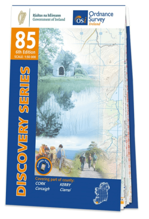
Wandelkaart 85 County Cork (Bantry) & Kerry - OSI • 9781912140275
Wandelkaart County Cork (Bantry) & Kerry - OSI Productomschrijving: Ontdek Ierland met de Discovery Series Wandelkaarten van Ordnance Survey Ireland. Omvat: de Counties Cork & Kerry met, Bantry, Kenmare, Balleyvourney, Glengarriff, Bantry, Dunmanway, Drimoleague, Durrus, Ballydehob & Skibbereen. De Discovery Series wandelkaarten van Ordnance Survey Ireland (OSi) zijn dé keuze voor …

Wandelkaart 19 Armagh Northern Ireland - Ordnance Survey • 9781911643067
Wandelkaart Armagh N. Ireland - Ordnance Survey Productomschrijving: Armagh of County Armagh beter gezegd ligt in Noord Ierland, het deel dat nog tot de UK behoort. Sinds Brexit,is het moeilijk voor hen om nog normale handelingen te voeren met de mainland. Deze kaart is de vernieuwde versie van alles die er in County Armagh te beleven valt. Maps in the Discoverer series have contours a…