

Wandelkaart 229 Great Smoky Mountains NP- Tennessee - Nat Geo
Bijna 9,5 miljoen bezoekers in 2010 - het best bezochte park

Korte omschrijving
Wandelkaarten Tennessee, USA van National Geographic. Ideaal voor tochten in Verenigde Staten van Amerika (USA).
TOPO Wandelkaart 229 - Great Smoky Mountains NP- Nat Geo Productomschrijving: Great Smoky Mountains National Park is een nationaal park in de Amerikaanse staten North Carolina en Tennessee, ...

Specificaties
- Uitgever: National Geographic
- ISBN-13: 9781566953016
- HOOFDCATEGORIEËN: Wandelkaart
- Activiteiten: Wandelen, Hiking & Trekking
- Auteur: National Geographic
- Regio: Tennessee, USA
- Land: Verenigde Staten van Amerika (USA)
- Nationale parken: Great smoky mountains NP, Tennessee USA
- TOPO's & Stafkaarten: Topografisch wandelen
- Schaal: 1:70000
- Taal: Engels
Volledige omschrijving
TOPO Wandelkaart 229 - Great Smoky Mountains NP- Nat Geo
Productomschrijving: Great Smoky Mountains National Park is een nationaal park in de Amerikaanse staten North Carolina en Tennessee, dat een groot deel van de Great Smoky Mountains beschermt. Met bijna 9,5 miljoen bezoekers in 2010 is dit het best bezochte park van het land. Het gebied is in 1934 ingericht als nationaal park en staat sinds 1983 op de Werelderfgoedlijst van UNESCO.
Engelse omschrijving: America's most visited national park and a UNESCO World Heritage Site, Great Smoky Mountains National Park is both renowned for its diversity of plant and animal life and rich in remnants of Southern Appalachian mountain culture. National Geographic's Trails Illustrated map of the park combines unparalleled detail and valuable information for outdoor enthusiasts seeking to explore all the area has to offer with particular attention shown to backcountry campsites, shelters, and stream crossings. A detailed profile of the Appalachian National Scenic Trail, which snakes along the ridge of the Great Smoky Mountains, provides a handy tool for hikers. The map features many key points of interest as well, including Cades Cove, Fontana Lake, Maryville, and Gatlinburg.
With over 800 miles of mapped trails, the Great Smoky Mountains National Park map can guide you off the beaten path and back again. The clearly marked trails include mileages between intersections. The map base includes contour lines and elevations for summits, passes and many lakes. Some of the many recreation features include: visitor centers, campgrounds, trail shelters, trailheads, boat ramps, scenic overlooks, interpretive trails and quiet walkways. Every Trails Illustrated map is printed on "Backcountry Tough" waterproof, tear-resistant paper. A full UTM grid is printed on the map to aid with GPS navigation.
Other features found on this map include: Cherokee National Forest, Chilhowee Mountain, Clingmans Dome, Fontana Lake, Great Smoky Mountains, Maryville, Mount Chapman, Mount Le Conte, Nantahala National Forest, Newfound Gap, Old Black, Pisgah National Forest, Waynesville.
(1).png)
Overzichtskaarten

NAT GEO Virginia trail maps
NAT GEO Virginia trail maps

Producten op de overzichtskaart
Klik op een product om naar de detailpagina te gaan.
- Wandelkaart 228 Shenandoah NP - Virginia USA - Nat Geo
- Wandelkaart 229 Great Smoky Mountains NP- Tennessee - Nat Geo
- Wandelkaart 318 Mount Rogers High Country - Virginia - Nat Geo
- Wandelkaart 773 New River Blueway- Virginia USA - Nat Geo
- Wandelkaart 788 Covington- Alleghany Highlands - Nat Geo
- Wandelkaart 793 Clinch Ranger District USA - Nat Geo
Artikelen uit dezelfde regio
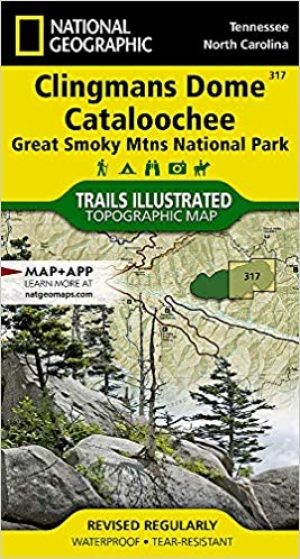
Wandelkaart 317 Clingman's Dome & Cataloochee - Natgeo • 9781566955010
TOPO Wandelkaart 317 - Clingman's Dome & Cataloochee - Nat Geo Productomschrijving: Clingmans Dome is een bergtop in de Great Smoky Mountains van Tennessee en North Carolina, in het zuidoosten van de United States. Cataloochee is dan weer een vallei in de Great Smoky Mountains van North Carolina, gelegen in het zuidoosten van de United States, en is nu een recreatieve regio en historische …
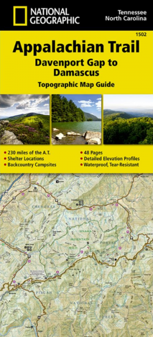
Wandelkaart 1502 Appalachian Trail - Deel 2 - NatGeo • 9781597756396
Wandelkaart 1502 > Appalachian Trail deel 4 > Davenport Gap-Damascus (9781597756396) Nat Geo Productomschrijving: Deze trail is een wonderbaarlijke route die van Main tot in Atlanta loopt, en ettelijke duizenden Km lang is. De route loopt door de mooiste delen van Oost USA, meerbepaald Virginia e.d. De route wordt jaarlijke door duizenden liefhebbers afgelopen, maar aangezien de route dusd…
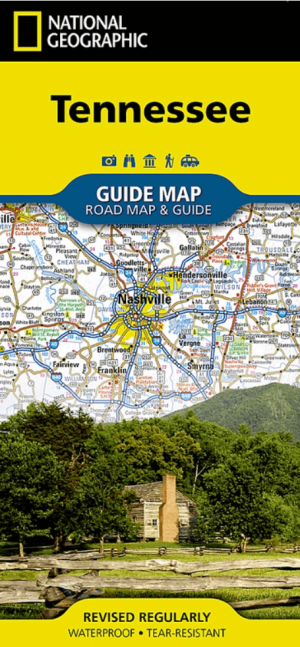
Landkaart Wegenkaart Tennessee State guide map - Nat Geo • 9781566957274
Wegenkaart Tennessee State guide map - Nat Geo Productomschrijving: National Geographic's Tennessee Guide Map is the ultimate ultimate travel companion to "The Volunteer State," combining a comprehensive road map with an expertly research travel guide. The road network contains designations for free access and toll highways; U.S., state and country routes; paved and unpaved roads; and scen…
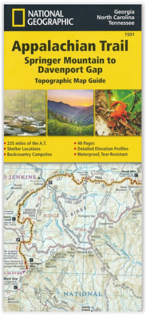
Wandelkaart 1501 Appalachian Trail - Deel 1 - Natgeo • 9781597756389
TOPO Wandelkaart 1501 - Springer Mt to Davenport Gap - Natgeo Productomschrijving: Deel 1 - 3500 km wonderbaarlijke route van Main tot in Atlan. Deze kaart omvat het eerste deel van 13 van Springer mountain tot aan Davenport Gap. Omvat de regio's Georgia, North Carolina & Tennessee. Engelse omschrijving: The Springer Mountain to Davenport Gap Topographic Map Guide makes a perfect trav…

Landkaart Wegenkaart Planning map Great Smoky Mountains NP • 9781788685955
Planning map Great Smoky Mountains NP - Lonely Planet Productomschrijving: Durable and waterproof, with a handy slipcase and an easy-fold format, Lonely Planet’s Great Smoky Mountains National Park Planning Map helps you get around with ease. Get more from your map and your trip with images and information about top attractions, itinerary suggestions, a transport guide, planning informatio…