
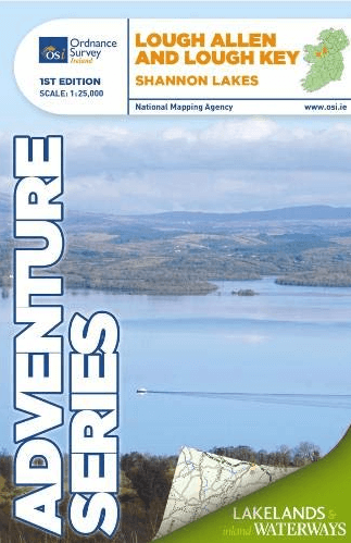
Wandelkaart Adventure Series Lough Allen & Lough Key, Shannon Lakes - OSI
Covers the Shannon River from Lough Allen- Lough Key
Korte omschrijving
Wandelkaarten County Leitrim, Ireland, County Clare, Ierland en County Roscommon, Ireland van Ordnance Survey Ireland. Ideaal voor tochten in Ierland.
Wandelkaart Lough Allen & Lough Key, Shannon Lakes - OSI Productomschrijving: This map covers a section of the Shannon River from Lough Allen in the north and Lough Key extending down to Ca...

Specificaties
- Uitgever: Ordnance Survey Ireland
- ISBN-13: 9781908852670
- HOOFDCATEGORIEËN: Wandelkaart
- Activiteiten: Wandelen, Hiking & Trekking
- Regio: County Clare, Ierland, County Leitrim, Ireland, County Roscommon, Ireland
- Land: Ierland
- Schaal: 1:25000
- Taal: Engels
- Reeks/Serie: Adventure Series, OSI
Volledige omschrijving
Wandelkaart Lough Allen & Lough Key, Shannon Lakes - OSI
Productomschrijving: This map covers a section of the Shannon River from Lough Allen in the north and Lough Key extending down to Carrick-on-Shannon following the flow of the River Shannon. The counties of Leitrim and Roscommon comprise the majority of the map, with small areas of County Cavan and County Sligo also included.
Two Discovery maps at 1:50 000 also cover this area, with Sheet 26 covering the northern part of the map and Sheet 33 covering the southern part.
Some of the features included are National Roads, National Secondary Roads, Regional Roads, Waymarked walks, Tracks and Trails, Cycle Routes, Forestry, Land Terrain, Spot Heights, Contours, Named antiquities, Local amenities, National Parks, Lakes, Rivers and Streams. The Series is printed on Water Resistant Paper for greater durability.
Artikelen uit dezelfde regio

Wandelkaart 26 County Cavan, Fermanagh, Leitrim, Rosc. & Sligo - OSI • 9781912140060
Wandelkaart Cavan, Fermanagh, Leitrim, Roscommeon & Sligo Productomschrijving: Ontdek Ierland met de Discovery Series Wandelkaarten van Ordnance Survey Ireland De Discovery Series wandelkaarten van Ordnance Survey Ireland (OSi) zijn dé keuze voor wandelaars, fietsers en avonturiers die Ierland echt willen verkennen. Deze hoogwaardige topografische kaarten bieden een gedetailleerd en na…

Wandelkaart 25 County Sligo East, Leitrim & Roscommon - OSI • 9781912140183
Wandelkaart Countys Sligo East, Leitrim & Roscommon - OSI Productomschrijving: Ontdek Ierland met de Discovery Series Wandelkaarten van Ordnance Survey Ireland De Discovery Series wandelkaarten van Ordnance Survey Ireland (OSi) zijn dé keuze voor wandelaars, fietsers en avonturiers die Ierland echt willen verkennen. Deze hoogwaardige topografische kaarten bieden een gedetailleerd en …
Wandelkaart Adventure Series Lough Derg Shannon Lakes - OSI • 9781908852687
Wandelkaart Lough Derg Shannon Lakes - OSI Productomschrijving: This map covers a section of the Shannon River from Portumna through Lough Derg in the north extending down to Killaloe, County Clare and Ballina, County Tipperary. The counties of Clare and Tipperary comprise the majority of the map, with a smaller area of County Galway included. The N52 is shown, and runs through Borris…
Wandelkaart 33 County Leitrim, Longford, Roscommon & Sligo - OSI • 9781912140428
Wandelkaart Countys Leitrim, Longford, Roscommon & Sligo - OSI Productomschrijving: Ontdek Ierland met de Discovery Series Wandelkaarten van Ordnance Survey Ireland De Discovery Series wandelkaarten van Ordnance Survey Ireland (OSi) zijn dé keuze voor wandelaars, fietsers en avonturiers die Ierland echt willen verkennen. Deze hoogwaardige topografische kaarten bieden een gedetailleerd …
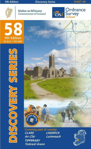
Wandelkaart 58 County Clare, Limerick & Tipperary - OSI • 9781912140220
Wandelkaart County Clare, Limerick & Tipperary - OSI Productomschrijving: Ontdek Ierland met de Discovery Series Wandelkaarten van Ordnance Survey Ireland. Omvat: de Counties Clare, Limerick & Tipperary. De Discovery Series wandelkaarten van Ordnance Survey Ireland (OSi) zijn dé keuze voor wandelaars, fietsers en avonturiers die Ierland echt willen verkennen. Deze hoogwaardige top…