

Fietsgids Best Bike Ride Great Britain - Lonely Planet
England- Schotland- Wales- West Country- the Cotswolds- Bath

Korte omschrijving
Fietsgidsen Engeland van Lonely Planet Publications. Ideaal voor tochten in United Kingdom, Great Britain.
Best Bike Ride Great Britain van Lonely Planet Productomschrijving: Lonely Planet's Best Bike Rides Groot-Brittannië is uw paspoort voor 40 dagtochten op twee wielen. Gebruik de kracht van d...

Specificaties
- Uitgever: Lonely Planet Publications
- ISBN-13: 9781838697907
- HOOFDCATEGORIEËN: Fietsgids
- Regio: Engeland
- Land: United Kingdom, Great Britain
- Editie: 1
- Taal: Engels
- Reeks/Serie: Best Bike Rides Lonely Planet
Volledige omschrijving
Best Bike Ride Great Britain van Lonely Planet
Productomschrijving: Lonely Planet's Best Bike Rides Groot-Brittannië is uw paspoort voor 40 dagtochten op twee wielen. Gebruik de kracht van de pedalen om een bestemming door een nieuwe bril te zien door een tocht te kiezen die bij u past, van een paar uur tot een hele dag, van gemakkelijk tot zwaar. Van treinpaden tot kustpaden, wij bestrijken het land met gemakkelijk te volgen routes voor fietsers en E-bike rijders.
Omvat: England, Schotland, Wales, the West Country, the Cotswolds, Bath, Edinburgh, Stonehenge, Welsh Mountains, Cambridge, Oxford, the Scottish Highlands, Stratford-upon-Avon and more
Engelse omschrijving: Lonely Planet's Best Bike Rides Great Britain is your passport to 40 day trips on two wheels. Use pedal power to see a destination through a new lens by picking a ride that works for you, from just a couple of hours to a full day, from easy to hard. From rail trails to coastal pathways we cover the country with easy-to-follow trails for cyclists and E-bike riders.
Inside Lonely Planet's Best Bike Rides Great Britain Travel Guide:
- Our Picks… section helps you plan your trip and select rides that appeal to your interests
- Region profiles cover when to go, where to stay, what's on, cultural insights, and local food and drink recommendations to refuel and refresh. - Essential info at your fingertips - ride itineraries accompanied by illustrative maps are combined with details about ride duration, distance. - Over 50 maps.
The Perfect Choice: Lonely Planet's Best Bike Rides Great Britain, our most comprehensive guide to riding in Great Britain, is perfect for those planning to explore Great Britain on two wheels.

Artikelen uit dezelfde regio

Landkaart Wegenkaart Engeland & Wales UK - Freytag & Berndt • 9783707924077
Wegenkaart Engeland & Wales UK - Freytag & Berndt Productomschrijving: Deze recto/verso gedetailleerde landkaart van Engeland en Wales is zeer geschikt voor het plannen en voor het rondtrekken door het land. Het wegennetwerk is goed weergeven, zowel de hoofdwegen, de provinciale en lokale wegen. Tevens worden wegnummers duidelijk vermeld. Afstanden tussen plaatsen zijn in kilometers op de…

Wandelgids Epic British Walks - Ordnance Survey • 9780319092064
Wandelgids Epic British Walks - Ordnance Survey Productomschrijving: OS Epic British Walks allows the reader to take their walking dreams one step further with this inspiring introduction to distance walking and with thirty-eight amazing trails of immense diversity, each graded by difficulty, there are routes for first-time hikers as well as for the super-fit, seasoned multi-day rambler. …
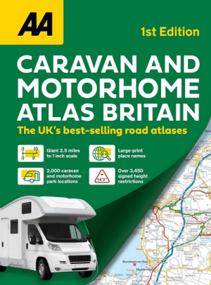
Campergids Caravan & Motorhome Atlas 2025 - AA Publishing • 9780749584160
Caravan & Motorhome Atlas 2025 - AA Productomschrijving: New for 2025, this A3 atlas provides information of particular importance to caravan and motorhome owners and includes named AA-inspected caravan parks and also non-AA parks, plus low bridge heights. Roads less than 4 metres wide are distinguished, as well as road tunnels, toll roads, service areas, steep gradients, level crossings a…

Wandelkaart 97 Kendal & Morecambe- Cumbria - OSI • 9780319475423
Wandelkaart Kendal & Morecambe - Cumbria England Productomschrijving: Kendal, Windermere & Lancaster voor 1 grote 30x40km wandelkaart van de regio in Cumbria Engalnd. De locatie, net als de rest van Cumbria is één groot wandelparadijs. Kendal is een gebied in South Lakeland, in het Engelse graafschap Cumbria. De reden voor deze locatie is omdat het de poort vormt van het Lake District Nati…
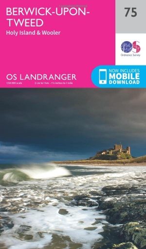
Wandelkaart 75 Berwick-upon-Tweed- England - OSI • 9780319261736
Wandelkaart Berwick-upon-Tweed - Northumebrland England Productbeschrijving: Gelegen dichtbij de Schotse grens, is Berwick-upon-Tweed de meest noordelijke stad in Engeland, en verschijnt op kaart nummer 75 in de OS Landranger kaarten reeks. Vele bezienswaardigheden te ontdekken in de omgeving. De enorme uitgestrektheid van Northumberland platteland beschikt over glooiende heuvels, stranden…