

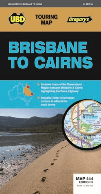
Landkaart Wegenkaart 444 Brisbane to Cairns Region - Gregory's
Bruce Highway from Brisbane to Cairns
Korte omschrijving
Wegenkaart Brisbane to Cairns Region, Northern Queensland Productomschrijving: The 5th Edition of the Brisbane to Cairns touring map will help you with your travels along the Queensland coa...

Specificaties
- Uitgever: UBD Gregory's Universal Publishers
- ISBN-13: 9780731931156
- HOOFDCATEGORIEËN: Wegenkaart - Landkaart
- Activiteiten: Street/Road maps & city plans
- Regio: Queensland, Noord-Oost Australië
- Land: Australië
- Nationale parken: Wooroonooran National Park, Northern Queensland, Cairns region Australia
- Regionale parken: Cairns Region, North Queensland, Australia
- Schaal: 1:2600000
- Editie: 5
- Taal: Engels
Volledige omschrijving
Wegenkaart Brisbane to Cairns Region, Northern Queensland
Productomschrijving: The 5th Edition of the Brisbane to Cairns touring map will help you with your travels along the Queensland coast. It includes a Queensland state map highlighting the Bruce Highway from Brisbane to Cairns, strip maps featuring the best of the Bruce Highway, and visitor and touring information.
Locatie op kaart
Artikelen uit dezelfde regio

Landkaart Wegenkaart Great Desert Tracks Simpson Desert - Hema • 9781922668073
Wegenkaart Great Desert Tracks Simpson Desert - Hema Productomschrijving: Great Desert Tracks Simpson Desert (9th edition) - discover the Simpson Desert with detailed mapping, relevant points of interest and essential touring information for the journey. Hema's Great Desert Tracks maps are essential for anyone travelling in the Australian outback. The mapping features roads and 4WD tr…

Landkaart Wegenkaart 43 South East Queensland - UBD Gregory's • 9780731932924
Wegenkaart South East Queensland - UBD Gregory's Productomschrijving: The latest edition of the South Eastern Queensland map has been fully revised and updated and includes regional coverage from Murgon, Gympie and Double Island Point in the north, Tenterfield and Evans Head (NSW) in the south, Columboola in the west and east along the coast from Double Island Point to Evans Head. There i…
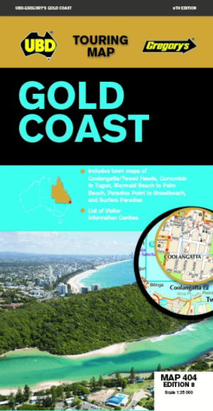
Landkaart Wegenkaart 404 Gold Coast Queensland - UBD Gregory's • 9780731932023
Wegenkaart Gold Coast Queensland - UBD Gregory's Productomschrijving: Gold Coast region map at a scale of 1 : 160 000 covering along the coast from South Stradbroke Island in the north to Bogangar NSW in the south & Beaudesert in the west, Beenleigh in the north & Murwillumbah NSW in the south. - Region map at a scale of 1 : 450 000 covering along the coast from Sandgate in the north t…
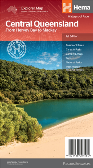
Landkaart Wegenkaart Explorer Map Centraal Queensland - Hema Maps • 9321438001584
Explorer Map Centraal Queensland - Hema Productomschrijving: A regional map of central Queensland (1:1,000,000) that stretches inland past Jericho and from Maryborough in the south to Mackay in the north. On the opposite side is tourist information on the region, as well as inset maps of Mackay, the Capricorn Coast, Gladstone, Bundaberg, Rockhampton, and the Gemfields. Accompanying e…

Landkaart Wegenkaart Frasereiland (K'gari) Queensland Australia • 9781922668783
Landkaart Frasereiland (K'gari) Queensland Australia - Hema Productomschrijving: Deze omvat het grootste zandeiland ter wereld! Fraser Island (K'gari) is one of the most diverse 4WD destinations in Australia, with beaches, rainforests, perched lakes, sand blows, and more fitting into the world’s largest sand island. The mapping is highly detailed (1:130,000), with 4WD tracks field che…