

Landkaart Wegenkaart 7 Noord Engeland - AA
Hartlepool- Middlesborough- Kendal- Scarborough- York


Korte omschrijving
Wegenkaart Noord Engeland - AA Productomschrijving: AA Road Map Northern England is a practical and slimline, foldable map from the experts at the AA. Encased in a durable, weatherproof cov...

Specificaties
- Uitgever: AA Road maps
- ISBN-13: 9780749584122
- HOOFDCATEGORIEËN: Wegenkaart - Landkaart
- Activiteiten: Street/Road maps & city plans
- Regio: Noord Engeland
- Land: England
- Schaal: 1:200000
- Taal: Engels
- Reeks/Serie: AA Road maps Britain
Volledige omschrijving
Wegenkaart Noord Engeland - AA
Productomschrijving: AA Road Map Northern England is a practical and slimline, foldable map from the experts at the AA. Encased in a durable, weatherproof cover, the mapping is produced at a scale of 3 miles to 1 inch (1:200,000 / 2km to 1cm) combining clear design, an easy-to-read scale and more road detail to ensure that you never lose your way.
Omvat: Pënrith, Hartlepool, Middlesborough, Kendal, Scarborough, York, Kingston-upon-Hull, Blackpool, Leeds, Manchester, Liverpool, Preston, Shefield, Chester & Lincoln.
Also included are toll points, service areas, road numbers, motorways, dual carriageways and wide narrow local roads, National Parks:
• Fully updated speed camera locations, plus speed cameras with speed limits shown
• Clear place name index
• 10 city and town plans
• Caravan & camping sites are pinpointed on the mapping
• National Parks and places of interest are also highlighted
• National Trust, English Heritage, Scottish and Welsh Heritage sites shown
Road Map Northern England is one in a series of expertly produced road maps of Britain from the AA.

Overzichtskaarten

Wegenkaarten Landkaarten Road Maps Britain 1 > 10
Wegenkaarten Landkaarten Road Maps Britain 1 > 10
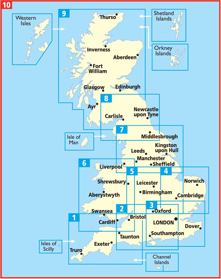
Producten op de overzichtskaart
Klik op een product om naar de detailpagina te gaan.
- Landkaart Wegenkaart 1 West Country & Wales Zuid - AA
- Landkaart Wegenkaart 2 Engeland Centr. Zuid - AA
- Landkaart Wegenkaart 3 Zuid Oost Engeland - AA
- Landkaart Wegenkaart 4 East Anglia - AA
- Landkaart Wegenkaart 5 Midlands & Central Engeland - AA
- Landkaart Wegenkaart 6 Wales - AA
- Landkaart Wegenkaart 7 Noord Engeland - AA
- Landkaart Wegenkaart 8 Noord Engeland & Scottish Borders - AA
- Landkaart Wegenkaart 9 Schotland - AA
- Landkaart Wegenkaart 10 Groot Brittannië - AA Publishing
Artikelen uit dezelfde regio
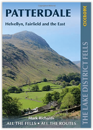
Wandelgids Patterdale- Lake District Fells - Cicerone • 9781786310347
Wandelgids Patterdale- Lake District Fells - Cicerone Productomschrijving: Deze gids maakt deel uit van de serie "Walking the Lake District Fells" en behandelt een breed scala aan routes naar 35 Lakeland-toppen die kunnen worden beklommen vanuit Ambleside, Grasmere en Patterdale en de valleien van Thirlmere en Ullswater, met hoogtepunten als Helvellyn en Fairfield. Suggesties voor langere …
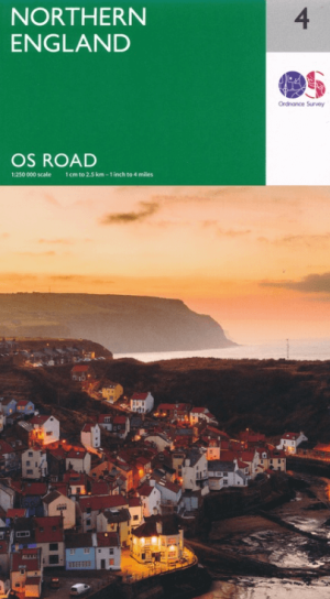
Landkaart Wegenkaart 4 Engeland Noord - OSI • 9780319263761
Wegenkaart Noord Engeland - OSI Productomschrijving: Plan your journey with this series of road maps from OS. Showing all major road, rail and ferry links as well as settlements and selected features in 1: 250 000 scale, this is the ideal map for planning trips and holidays by car or cycle. OS Road 4 covers: Northern England, including the Lake District, North York Moors Liverpool and…
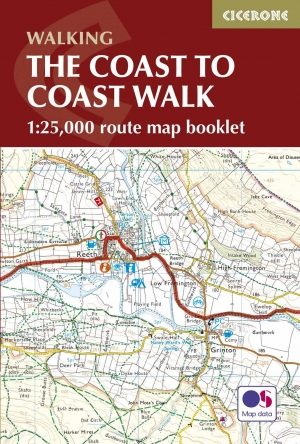
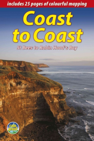
Wandelgids The Coast to Coast Map Booklet - Cicerone • 9781852849269
Wandelgids - The Coast to Coast Map Booklet - Cicerone Productomschrijving: Deze wandelgids toont u de 300km lange Coast to Coast Walk, een populaire interlokale trail in Noord-Engeland, die vertrekt uit St Bees Head in Cumbria naar Robin Hood's Bay aan de kust van Yorkshire. Product description: This map booklet shows the 190 mile (300km) Coast to Coast Walk, a popular long distance …
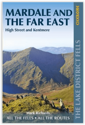
Wandelgids Mardale and the Far East - Cicerone • 9781786310354
Wandelgids - Mardale and the Far East - Cicerone Productomschrijving: Deze gids maakt deel uit van de serie "Walking the Lake District Fells" en behandelt een breed scala aan routes naar 36 Lakeland-toppen die kunnen worden beklommen vanuit de valleien van Ullswater, Haweswater, Troutbeck, Kentmere en Longsleddale, met hoogtepunten zoals High Street, Place Fell en Kentmere fells. Suggestie…
Wandelgids The Wainwright route - Rucksack readers • 9781898481829
Wandelgids - The Wainwright route- coast tot coast walking Productomschrijving: This challenging walk of 184 miles (296 km) crosses the north of England from St Bees on the Cumbria coast to Robin Hood’s Bay on the North Sea. It passes through three National Parks – the Lake District, Yorkshire Dales and North York Moors – with splendidly varied scenery. Many walkers complete it within 12 t…