

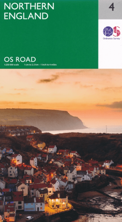
Landkaart Wegenkaart 4 Engeland Noord - OSI
Lake District NP- North York Moors NP- Liverpool & Manchester

Korte omschrijving
Wegenkaart Noord Engeland - OSI Productomschrijving: Plan your journey with this series of road maps from OS. Showing all major road, rail and ferry links as well as settlements and selecte...

Specificaties
- Uitgever: Ordnance Survey
- ISBN-13: 9780319263761
- HOOFDCATEGORIEËN: Wegenkaart - Landkaart
- Activiteiten: Street/Road maps & city plans
- Regio: Noord Engeland
- Land: England
- Schaal: 1:250000
- Taal: Engels
- Reeks/Serie: OSI Regional UK Roadmaps 1:250.000
Volledige omschrijving
Wegenkaart Noord Engeland - OSI
Productomschrijving: Plan your journey with this series of road maps from OS. Showing all major road, rail and ferry links as well as settlements and selected features in 1: 250 000 scale, this is the ideal map for planning trips and holidays by car or cycle.
OS Road 4 covers: Northern England, including the Lake District, North York Moors Liverpool and Manchester. For Northumberland, please see OS Road 3.

Overzichtskaarten
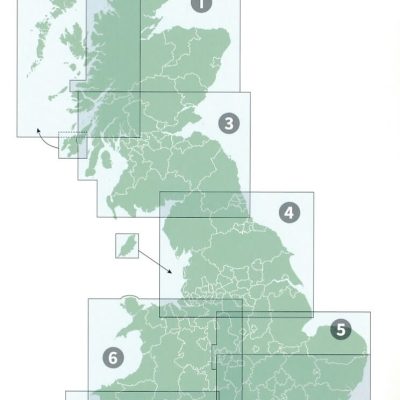
OSI Roadmaps UK 1 > 8 - 1:250.000
OSI Roadmaps UK 1 > 8 - 1:250.000

Producten op de overzichtskaart
Klik op een product om naar de detailpagina te gaan.
- Landkaart Wegenkaart 1 Schotland Noord - OSI
- Landkaart Wegenkaart 2 Schotland West & Western Isles - OSI
- Landkaart Wegenkaart 3 Schotland Zuid & Northumberland - OSI
- Landkaart Wegenkaart 4 Engeland Noord - OSI
- Landkaart Wegenkaart 5 Midlands Oost & East Anglia - OSI
- Landkaart Wegenkaart 6 Wales & Midlands West - OSI
- Landkaart Wegenkaart 7 Zuidwest Engeland & Zuid Wales - OSI
- Landkaart Wegenkaart 8 Zuidoost Engeland - OSI
Artikelen uit dezelfde regio
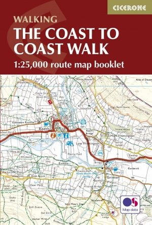
Wandelgids The Coast to Coast Map Booklet - Cicerone • 9781852849269
Wandelgids - The Coast to Coast Map Booklet - Cicerone Productomschrijving: Deze wandelgids toont u de 300km lange Coast to Coast Walk, een populaire interlokale trail in Noord-Engeland, die vertrekt uit St Bees Head in Cumbria naar Robin Hood's Bay aan de kust van Yorkshire. Product description: This map booklet shows the 190 mile (300km) Coast to Coast Walk, a popular long distance …
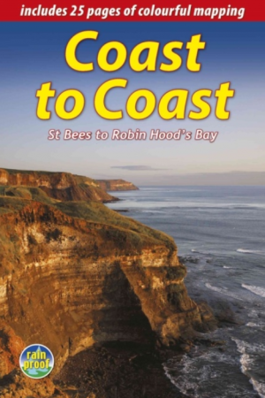
Wandelgids The Wainwright route - Rucksack readers • 9781898481829
Wandelgids - The Wainwright route- coast tot coast walking Productomschrijving: This challenging walk of 184 miles (296 km) crosses the north of England from St Bees on the Cumbria coast to Robin Hood’s Bay on the North Sea. It passes through three National Parks – the Lake District, Yorkshire Dales and North York Moors – with splendidly varied scenery. Many walkers complete it within 12 t…
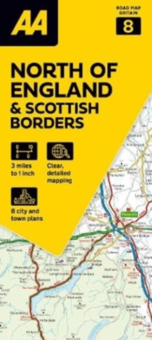
Landkaart Wegenkaart 8 Noord Engeland & Scottish Borders - AA • 9780749584139
Wegenkaart Noord Engeland & Scottish Borders - AA Productomschrijving: AA Road Map North of England & Scottish Borders is a practical and slimline, foldable map from the experts at the AA. Encased in a durable, weatherproof cover, the mapping is produced at a scale of 3 miles to 1 inch (1:200,000 / 2km to 1cm) combining clear design, an easy-to-read scale and more road detail to ensure th…
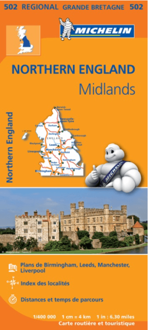
Landkaart Wegenkaart 502 Engeland Noord & Midlands - Michelin • 9782067183230
Regionale Wegenkaart Noord Engeland & the Midlands Productomschrijving: De volledig bijgewerkte MICHELIN-kaart van Engeland Noord, Midlands geeft u alle WEG- EN TOERISME-informatie die u nodig hebt om uw reizen in deze regio te optimaliseren: een INDEX VAN LOCATIES, een TABEL VAN AFSTANDEN en REISTIJDEN. Dankzij de schaal van 1:400.000 (1 cm = 4 km) kun je zowel de hoofdwegen als de klein…
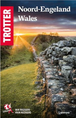
Reisgids Noord Engeland & Wales - Lannoo • 9789020927832
Reisgids Noord-Engeland & Wales (Lannoo Trotter) Productomschrijving: Noord-Engeland en Wales beloven ruige kusten, stoere steden, stille valleien en pubs waar de tijd stilvalt. Deze Lannoo Trotter Reisgids Noord-Engeland & Wales helpt je niet alleen “gaan”, maar echt reizen. Zonder toeristen-bingo. Zonder eindeloos zoeken. Gewoon: kiezen, vertrekken, beleven. De eerlijke Trotter-gids voor…