

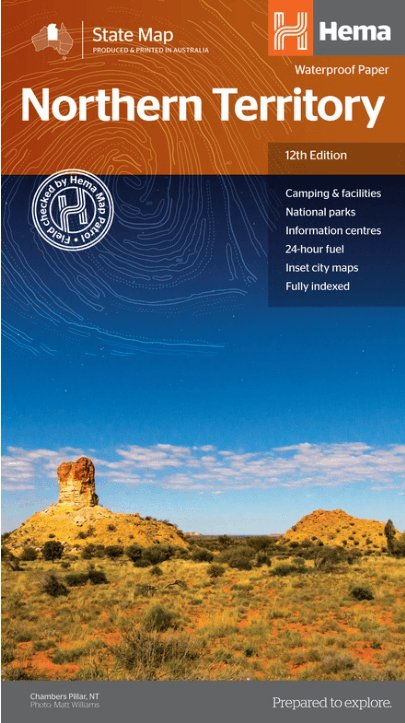
Landkaart Wegenkaart Northern Territory state map - Hema Maps
Aboriginal land - National parks
Korte omschrijving
Wegenkaart Northern Territory state map - Hema Productomschrijving: A touring map of the Northern Territory (NT) that features 24-hour fuel, camping areas and rest areas. Marked on the...

Specificaties
- Uitgever: Hema Maps
- ISBN-13: 9321438001508
- HOOFDCATEGORIEËN: Wegenkaart - Landkaart
- Activiteiten: Street/Road maps & city plans
- Regio: Northern Territory, Australië
- Land: Australië
- Schaal: 1:1800000
- Editie: 12
- Taal: Engels
- Reeks/Serie: State maps, Hema
- De Australische Regio's: Northern Territories
Volledige omschrijving
Wegenkaart Northern Territory state map - Hema
Productomschrijving: A touring map of the Northern Territory (NT) that features 24-hour fuel, camping areas and rest areas.
Marked on the map are highways, major roads and minor roads, national parks and Aboriginal land and various points of interest. The map is fully indexed, and includes a handy list of accredited visitor information centres.
Now on waterproof paper.

Artikelen uit dezelfde regio

Landkaart Wegenkaart Iconic Map Top End and Gulf - Hema • 9321438001614
Iconic Map Top End and Gulf - Hema Productomschrijving: A regional waterproof map of the Top End and Gulf for discovering the region by 4WD. Combining with the main map are inset maps of the Darwin region, Gregory National Park, Nhulunbuy, Keep River National Park and Boodjamulla (Lawn Hill) National Park. There is additional tourist information for Arnhem Land, the Roper River trek, Darw…

Landkaart Wegenkaart 571 Northern Territory State & Suburban- UBD • 9780731933266
Wegenkaart Northern Territory State & Suburban- UBD Productomschrijving: Coverage includes a detailed Territory map on one side with symbols for accommodation, caravan parks, camping and fuel. The other side offers coverage of Darwin suburbs and Aboriginal Land and National Parks of the Northern Territory. Other content includes a Northern Territory fact file and detailed indexes.

Landkaart Wegenkaart Australië Alice Springs - Nelles Verlag • 9783865746931
Wegenkaart Alice Springs, Perth, Sydney & Melbourne - Nelles Productomschrijving: Wegenkaart met reliëfschaduw, detailkaarten, stadsplattegronden, toeristische bezienswaardigheden en kilometeraanduidingen Omvat: Allice Springs Environs, Mt. Olga/Ayers Rock, Greater Perth, Greater Sydney, Greater Melbourne, Sunshine Coast/Gold Coast City maps: Central Perth, Central Sydney, Canberr…
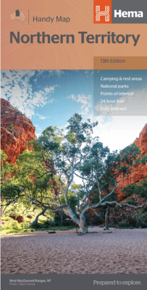
Landkaart Wegenkaart Northern Territory handy map - Hema • 9781925625684
Wegenkaart Northern Territory handy map - Hema Productomschrijving: A fully indexed map of the Northern Territory (NT) at a scale of 1:1,750,000. Marked on the map are national parks, camping areas, rest areas, caravan parks, points of interest and 24-hour fuel accompanied by a distance grid.
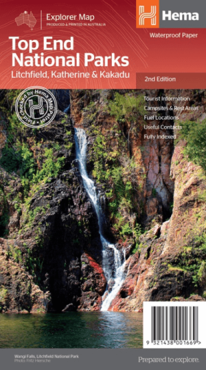
Landkaart Wegenkaart Explorer Map Top End National Parks - Hema • 9321438001669
Explorer Map Top End National Parks - Hema Productomschrijving: A regional map that features Litchfield National Park(1:160,000), Katherine Gorge and Kakadu (1:350,000) national parks. A Darwin region map is included (1:850,000) along with extensive tourist information for Darwin and the surrounding region, Arnhem Highway to Kakadu, Mary River, Stuart Highway to Katherine, Litchfield …