

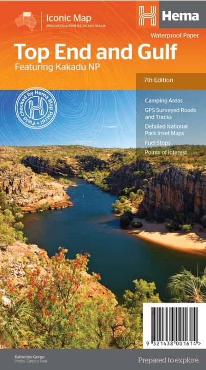
Landkaart Wegenkaart Iconic Map Top End and Gulf - Hema
Kakadu National Park - 20.000 Km² - Northern Territories
Korte omschrijving
Iconic Map Top End and Gulf - Hema Productomschrijving: A regional waterproof map of the Top End and Gulf for discovering the region by 4WD. Combining with the main map are inset maps of th...

Specificaties
- Uitgever: Hema Maps
- ISBN-13: 9321438001614
- HOOFDCATEGORIEËN: Wegenkaart - Landkaart
- Activiteiten: Street/Road maps & city plans
- Regio: Northern Territory, Australië
- Land: Australië
- Nationale parken: Kakadu NP, Northern Territory Australia
- Schaal: 1:1650000
- Editie: 7
- Taal: Engels
- Reeks/Serie: Iconic Maps, Hema
Volledige omschrijving
Iconic Map Top End and Gulf - Hema
Productomschrijving: A regional waterproof map of the Top End and Gulf for discovering the region by 4WD. Combining with the main map are inset maps of the Darwin region, Gregory National Park, Nhulunbuy, Keep River National Park and Boodjamulla (Lawn Hill) National Park. There is additional tourist information for Arnhem Land, the Roper River trek, Darwin region, Douglas-Daly district, Nature’s Way, Victoria Highway, Katherine Region and the Stuart Highway Region. Marked on the map are camping areas, GPS surveyed roads and tracks, fuel, and more information for 4WD tourers.
Australia's tropical north, is a region of rainforests, wild wetlands teeming with water birds and barramundi, and soaring escarpments and deep gorges cut by rivers alive with cascading waterfalls. It is an area where at one time of the year, lightning storms serrate the heavy grey skies while at another soft balmy breezes rustle the canopy of palm trees overhead. It takes in hundreds of things to do and see, ranging from the wild majesty of the country flanking the Burke Developmental Road at the base of the Cape, to some magnificently varied four-wheel driving in Judbarra/Gregory National Park, close to the WA border. Boodjamulla (Lawn Hill) is one of our best national parks, and nearby Riversleigh is world renowned for its fossils. You can use the Savannah Way to go clear across to Broome, but you’d need a good six months to do it properly.
There’s Cape Crawford’s Lost City to experience (splurge on a helicopter flight – it’s worth it), pioneer history to absorb at Daly Waters, Mataranka and Douglas hot springs to luxuriate in... Don’t eschew Kakadu and Litchfield national parks because of their international fame. Yes, they will be full of tourists, but when you’re in a 4WD there are plenty of opportunities to escape the crowds. While the major roads in these two parks are sealed, the tracks to secluded campsites and gorges aren’t so you need a 4WD to really appreciate the truly great natural wonders they exhibit.
Travelling in the Top End can be extremely hazardous during the summer months – November to February. Many unsealed roads and tracks will be closed as a result of wet season flooding throughout these months too. The best time to travel is from June to October, but towards the end of the Dry season some unsealed sections will have become badly corrugated.

Artikelen uit dezelfde regio

Landkaart Wegenkaart 571 Northern Territory State & Suburban- UBD • 9780731933266
Wegenkaart Northern Territory State & Suburban- UBD Productomschrijving: Coverage includes a detailed Territory map on one side with symbols for accommodation, caravan parks, camping and fuel. The other side offers coverage of Darwin suburbs and Aboriginal Land and National Parks of the Northern Territory. Other content includes a Northern Territory fact file and detailed indexes.

Landkaart Wegenkaart Great Desert Tracks Simpson Desert - Hema • 9781922668073
Wegenkaart Great Desert Tracks Simpson Desert - Hema Productomschrijving: Great Desert Tracks Simpson Desert (9th edition) - discover the Simpson Desert with detailed mapping, relevant points of interest and essential touring information for the journey. Hema's Great Desert Tracks maps are essential for anyone travelling in the Australian outback. The mapping features roads and 4WD tr…

Landkaart Wegenkaart Australië Indigenous Journeys Map - Hema Map • 9781922668936
Wegenkaart Australië Indigenous Journeys Map - Hema Maps Productomschrijving: Australië Indigenous Journeys Map hema 1:5.5M Ontdek de zanglijnen van de oudste levende cultuur ter wereld Al meer dan 65.000 jaar bewandelen Aboriginals en Torres Strait Islanders - de traditionele eigenaars van Australië - het land, smeden handelsroutes, delen kennis en zorgen voor het land. De Indigenou…
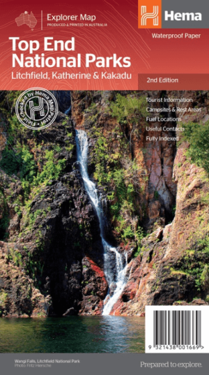
Landkaart Wegenkaart Explorer Map Top End National Parks - Hema • 9321438001669
Explorer Map Top End National Parks - Hema Productomschrijving: A regional map that features Litchfield National Park(1:160,000), Katherine Gorge and Kakadu (1:350,000) national parks. A Darwin region map is included (1:850,000) along with extensive tourist information for Darwin and the surrounding region, Arnhem Highway to Kakadu, Mary River, Stuart Highway to Katherine, Litchfield …
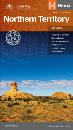
Landkaart Wegenkaart Northern Territory state map - Hema Maps • 9321438001508
Wegenkaart Northern Territory state map - Hema Productomschrijving: A touring map of the Northern Territory (NT) that features 24-hour fuel, camping areas and rest areas. Marked on the map are highways, major roads and minor roads, national parks and Aboriginal land and various points of interest. The map is fully indexed, and includes a handy list of accredited visitor information c…