

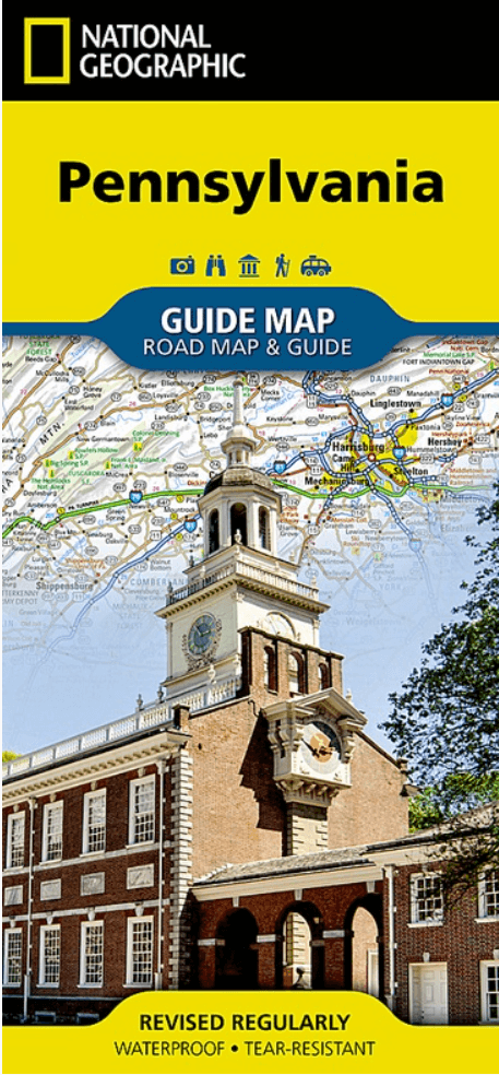
Landkaart Wegenkaart Pennsylvania State guide map - Nat Geo
Philadelphia- Pittsburgh- Allentown- Bethlehem- Allentown...


Korte omschrijving
Wegenkaart Pennsylvania State guide map - Nat Geo Productomschrijving: Whether traveling for business or leisure, National Geographic's Pennsylvania Guide Map is an essential travel companio...

Specificaties
- Uitgever: National Geographic
- ISBN-13: 9781566957977
- HOOFDCATEGORIEËN: Wegenkaart - Landkaart
- Activiteiten: Street/Road maps & city plans
- Auteur: National Geographic
- Regio: Pennsylvania, USA
- Land: Verenigde Staten van Amerika (USA)
- TOPO's & Stafkaarten: Topografisch wandelen
- Schaal: 1:950000
- Taal: Engels
- Reeks/Serie: Nat Geo, State Guide Maps
Volledige omschrijving
Wegenkaart Pennsylvania State guide map - Nat Geo
Productomschrijving: Whether traveling for business or leisure, National Geographic's Pennsylvania Guide Map is an essential travel companion. Coverage is unparalleled with a comprehensive road map, combined with more than 10 inset maps detailing cities and metropolitan areas, including Philadelphia, Pittsburgh, Allentown - Bethlehem, Allentown, Reading, Scranton - Wilkes-Barre, Lancaster, Harrisburg and others. Roads are labeled according to usage and hundreds of points of interest, national and state parks, national forests, campgrounds, visitor centers, airports, ski areas and hospitals are pinpointed. To find your destination quickly, use the convenient index of counties, cities and towns.
Visitor information is given for Philadelphia and Pittsburgh, as well as Gettysburg National Park and Amish Country scenic drive, all of which have accompanying inset maps. Descriptions and contact information are provided for many popular points of interest, a calendar of events and national parks which are listed in a chart with their available services.
Every State Guide Map is printed on durable synthetic paper, making them waterproof, tear-resistant and tough — capable of withstanding the rigors of any kind of travel.
Artikelen uit dezelfde regio

Stadskaart plattegrond Philadelphia Pensilvania USA - Borch • 9783866093812
Wandelkaart Philadelphia Pensilvania USA - Borch Productomschrijving: Our soft-laminated folded map of Philadelphia in the 10th edition shows: Philadelphia Downtown 1:7 000, Philadelphia & Region 1:125 000, University City 1:12 000, Fairmount Park 1:15 000, Public Transport Philadelphia, Top 30 Sights, USA administrative & time zones. Borch Maps are easy to fold, durable and water-repellen…
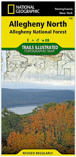
Wandelkaart 738 Allegheny National Forest North - Nat Geo • 9781566956314
Allegheny National Forest North - Nat Geo Productomschrijving: National Geographic's Trails Illustrated kaart van Allegheny North levert ongeëvenaarde details en waardevolle informatie om u te helpen bij uw verkenning van dit schilderachtige nationale bos. Het hele jaar door recreatie activiteiten in overvloed in de Allegheny National Recreation Area, Hickory Creek Wilderness, Chapman Stat…

Wandelkaart 1506 Appalachian Trail - DEEL 6 - Natgeo • 9781597756433
Wandelkaart 1506 Appalachian Trail - DEEL 6 Productomschrijving: De Raven Rock to Swatara Gap - Topografische Kaart is de perfecte reisgenoot als je het zuidoostelijke deel van Pennsylvania van de Appalachian Trail (A.T.) doorkruist. De kaart volgt de bergkammen van de Appalachian Mountains, doorkruist de 12 mijl brede, landbouw-rijke Cumberland Valley, en weeft in en uit de voorsteden. D…