
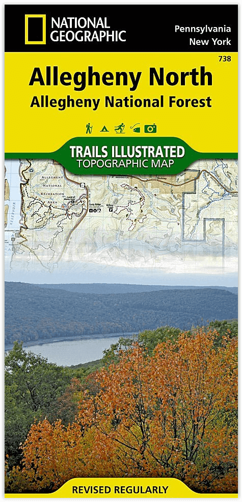
Wandelkaart 738 Allegheny National Forest North - Nat Geo
Allegheny National Recreation Area & Hickory Creek Wilderness...
Korte omschrijving
Allegheny National Forest North - Nat Geo Productomschrijving: National Geographic's Trails Illustrated kaart van Allegheny North levert ongeëvenaarde details en waardevolle informatie om u ...

Specificaties
- Uitgever: National Geographic
- ISBN-13: 9781566956314
- HOOFDCATEGORIEËN: Wandelkaart
- Activiteiten: Wandelen, Hiking & Trekking
- Regio: Pennsylvania, USA
- Land: Verenigde Staten van Amerika (USA)
- Regionale parken: Allegheny Nat. Forest, Pennsylvania USA
- Schaal: 1:70000
- Afmeting: 11x24
- Taal: Engels
Volledige omschrijving
Allegheny National Forest North - Nat Geo
Productomschrijving: National Geographic's Trails Illustrated kaart van Allegheny North levert ongeëvenaarde details en waardevolle informatie om u te helpen bij uw verkenning van dit schilderachtige nationale bos. Het hele jaar door recreatie activiteiten in overvloed in de Allegheny National Recreation Area, Hickory Creek Wilderness, Chapman State Park, Allegheny Islands Wilderness, Kinzua Creek, en Tionesta en Hearts Content landschappelijke gebieden.
Gemaakt in samenwerking met lokale land management agentschappen, deze deskundig onderzochte kaart levert ongeëvenaarde details en nuttige informatie voor ervaren outdoor enthousiastelingen en toevallige bezoekers.
Deze kaart leidt u van de gebaande paden af en weer terug met kilometers aan gemarkeerde paden inclusief een deel van de populaire North Country Trail, de Pennsylvania Highway Bike Route, de Allegheny Snowmobile Loop, en geprepareerde langlaufpaden.
Verder ook op deze map : Allegheny National Forest, Brokenstraw Creek, Conewango Creek, Hickory Creek Wilderness.
Engelse omschrijving: National Geographic's Trails Illustrated map of Allegheny North delivers unmatched detail and valuable information to assist you in your exploration of this scenic national forest. Year-round recreation activities abound in the Allegheny National Recreation Area, Hickory Creek Wilderness, Chapman State Park, Allegheny Islands Wilderness, Kinzua Creek, and Tionesta and Hearts Content scenic areas. Created in partnership with local land management agencies, this expertly researched map delivers unmatched detail and helpful information for experienced outdoor enthusiasts and casual visitors alike.
This map can guide you off the beaten path and back again with miles of mapped trails including a portion of the popular North Country Trail, the Pennsylvania Highway Bike Route, the Allegheny Snowmobile Loop, and groomed cross country ski trails. Trail use is easy to identify, whether you're traveling on foot or by bike, horse, or motorized vehicle. Trail mileage between intersections will assist you in choosing the path that's right for you. River mileage is shown on a popular portion of the Allegheny River. The Longhouse Scenic Byway is noted for those wishing to take in the scenery by car. Many recreation features are noted as well, including campgrounds, boat launches, swimming areas, fishing access, interpretive trails, and points of interest. The map base includes contour lines, shaded relief, and elevations for summits, passes and many lakes.
Every Trails Illustrated map is printed on "Backcountry Tough" waterproof, tear-resistant paper. A full UTM grid is printed on the map to aid with GPS navigation.
Other features found on this map include: Allegheny National Forest, Brokenstraw Creek, Conewango Creek, Hickory Creek Wilderness.
Locatie op kaart
Overzichtskaarten

NAT GEO New York trail map
NAT GEO New York trail map

Producten op de overzichtskaart
Klik op een product om naar de detailpagina te gaan.
- Wandelkaart 738 Allegheny National Forest North - Nat Geo
- Wandelkaart 742 Adirondack Park - Lake Placid - Natgeo
- Wandelkaart 745 Adirondack Park - Old Forge & Oswegatchie
- Wandelkaart 746 Adirondack Park - Saranac & Paul Smiths
- Wandelkaart 747 Green Mountain National Forest- Vermont
- Wandelkaart 743 Adirondack Park - Lake George - Natgeo
- Wandelkaart 744 Adirondack Park - Northville & Raquette Lake
- Wandelkaart 748 Green Mountain National Forest
- Wandelkaart 756 Harriman- Bear Mountain & Sterling Forest parks
Artikelen uit dezelfde regio

Reisgids Philadelphie - Lonely Planet • 9782816179361
Philadelphie du Lonely Planet Déscription de produits: Un guide tout en couleurs, concis et ultra pratique pour découvrir New York Central Park, Empire State Building, New York Harbor, Metropolitan Museum of Art, Guggenheim Museum, High Line, Times Square, Museum of Modern Art… tous les sites majeurs décryptés et des clés pour découvrir des lieux insolites ou méconnus. Un découpage de …

Reisgids Philadelphia pocket guide - Lonely Planet • 9781787017498
PhiladelphiaUSA van Lonely Planet Productomschrijving: Lonely Planet's Pocket Philadelphia is uw paspoort voor het meest relevante, up-to-date advies over wat u moet zien en overslaan, en welke verborgen ontdekkingen op u wachten. Bekijk meesterwerken in het Philadelphia Museum of Art, ontdek ingenieuze uitvindingen in het Benjamin Franklin Museum en vind de perfecte cheesesteak - allemaal…

Wandelkaart 1506 Appalachian Trail - DEEL 6 - Natgeo • 9781597756433
Wandelkaart 1506 Appalachian Trail - DEEL 6 Productomschrijving: De Raven Rock to Swatara Gap - Topografische Kaart is de perfecte reisgenoot als je het zuidoostelijke deel van Pennsylvania van de Appalachian Trail (A.T.) doorkruist. De kaart volgt de bergkammen van de Appalachian Mountains, doorkruist de 12 mijl brede, landbouw-rijke Cumberland Valley, en weeft in en uit de voorsteden. D…