

Reisgids Ierland en Noord-Ierland - Gottmer Uitgeverij
Dublin- Belfast- Cork- Galway
Korte omschrijving
Reisgidsen Northern Ireland, UK en Ierland van Gottmer Uitgevers Groep. Ideaal voor tochten in United Kingdom, Great Britain en Ierland.
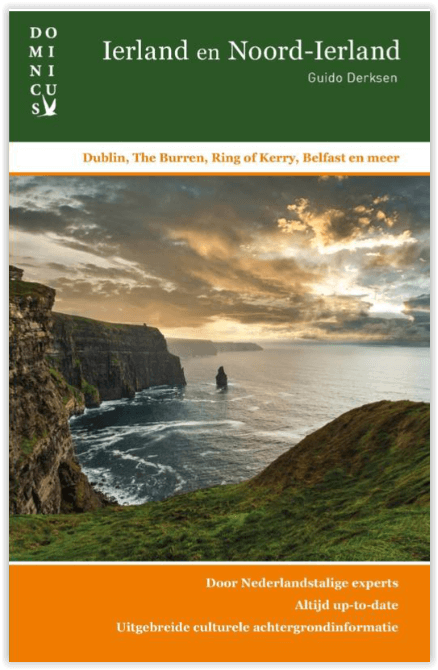
Reisgids Ierland en Noord-Ierland - Dominicis Productomschrijving: Ierland heeft zijn geheel eigen charme: ruige kusten, golvende groene heuvels, verstilde veengebieden, vriendelijke en humo...

Specificaties
- Uitgever: Gottmer Uitgevers Groep
- ISBN-13: 9789025778972
- HOOFDCATEGORIEËN: Reisgids
- Activiteiten: Toerisme
- Auteur: Gottmer Uitgeverij, Guido Derksen
- Regio: Ierland, Northern Ireland, UK
- Land: Ierland, United Kingdom, Great Britain
- Editie: 8
- Taal: Nederlands
- Reeks/Serie: Dominicus reeks, Gottmer
Volledige omschrijving
Reisgids Ierland en Noord-Ierland - Dominicis
Productomschrijving: Ierland heeft zijn geheel eigen charme: ruige kusten, golvende groene heuvels, verstilde veengebieden, vriendelijke en humorvolle mensen, Keltische mystiek en vrolijke folkmuziek.
Daarbij zijn twee fascinerende grote steden, Dublin en Belfast, elk voor zich al een lange stedentrip waard. Middelgrote plaatsen als Cork en Galway zijn ook interessant, terwijl het Ierse dorpsleven je tientallen jaren terugvoert in de tijd, toen alles nog eenvoudig en overzichtelijk was.

Artikelen uit dezelfde regio
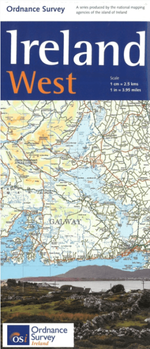
Landkaart Wegenkaart H2 Ierland West - OSI • 9781908852878
Wegenkaart West Ierland - OSI Productomschrijving: Wegenkaart West Ierland - OSI - Ordnance Survey Ireland West Road map at 1:250,000 approx 4 miles to the Inch. This map shows detailed road classification, altitude colouring and tourist information, published by OSI, the Ordnance Survey of Ireland. Topography of the island is shown by altitude colouring, with additional spot …

Reisgids Great Britain - DK Eyewitness • 9780241408292
Reisgids Great Britain - DK Eyewitness Productomschrijving: Visit Stonehenge's mysterious monoliths, take the sea air in buzzing Brighton or come face to face with the Vikings in York: everything you need to know is clearly laid out within colour-coded chapters. Discover the best of Great Britain with this indispensable travel guide. Inside DK Eyewitness Travel Guide Great Britain: -…
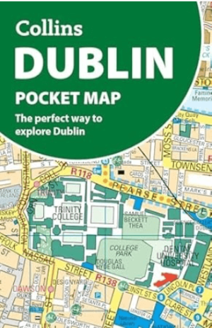
Stadsplattegrond Dublin pocket map - Harper Collins • 9780008716547
Stadskaart Dublin pocket map - Harper Collins Productomschrijving: Handy little full color Collins map of central Dublin with a high level of detail. Map at a scale of 1:7,800 (8 inches to 1 mile). Clear, detailed, full color Collins mapping is presented in a handy format ideal for the pocket or handbag. It is excellent value and covers the most visited area of central Dublin. It is an es…
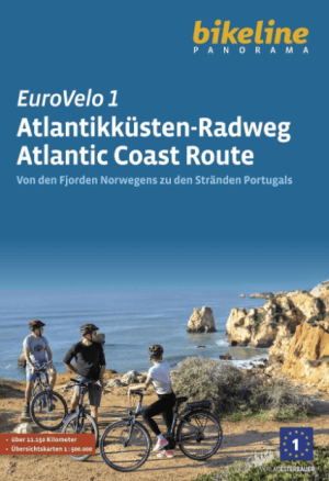
Fietsgids Eurovélo 1 Atlantikküsten-Radweg - Bikeline • 9783711102171
Eurovélo-route 1 - Atlantikküsten-Radweg - Bikeline Productomschrijving: Fietstochten zijn al tientallen jaren een populaire manier om op vakantie te gaan en worden steeds populairder. Er zijn talloze langeafstandsfietsroutes en fietsregio's waar je zorgeloos kunt fietsen. De variatie is enorm, want er zijn fietsroutes langs rivieren, langs zeekusten, over voormalige spoorlijnen, in en ron…

Wandelkaart 16 County Donegal, Fermanagh, Leitrim & Sligo - OSI Ireland • 9781912140503
Wandelkaart Donegal, Fermanagh, Leitrim & Sligo - OSI Productomschrijving: Ontdek Ierland met de Discovery Series Wandelkaarten van Ordnance Survey Ireland De Discovery Series wandelkaarten van Ordnance Survey Ireland (OSi) zijn dé keuze voor wandelaars, fietsers en avonturiers die Ierland echt willen verkennen. Deze hoogwaardige topografische kaarten bieden een gedetailleerd en nauwke…