

Stadsplattegrond Dublin pocket map - Harper Collins
Handy little full color Collins map of central Dublin

Korte omschrijving
Stadskaart Dublin pocket map - Harper Collins Productomschrijving: Handy little full color Collins map of central Dublin with a high level of detail. Map at a scale of 1:7,800 (8 inches to ...

Specificaties
- Uitgever: HarperCollins Publishers
- ISBN-13: 9780008716547
- HOOFDCATEGORIEËN: Stadskaart plattegrond
- Activiteiten: Street/Road maps & city plans
- Regio: Dublin, Ierland, Ierland
- Land: Ierland
- Schaal: 1:7000
- Taal: Engels
- Reeks/Serie: Pocket Maps
Volledige omschrijving
Stadskaart Dublin pocket map - Harper Collins
Productomschrijving: Handy little full color Collins map of central Dublin with a high level of detail. Map at a scale of 1:7,800 (8 inches to 1 mile). Clear, detailed, full color Collins mapping is presented in a handy format ideal for the pocket or handbag. It is excellent value and covers the most visited area of central Dublin. It is an essential buy for tourists and residents alike.
This map includes:
• Detailed central area map
• Tourist locations
• Tram, train and bus stations
• Listing of major places to visit, with additional details for the main attractions
• Detailed street index
• Around Dublin area map extending to airport, Dún Laoghaire and Maynooth

Artikelen uit dezelfde regio
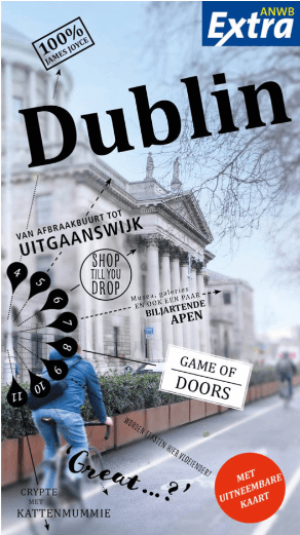
Reisgids Anwb Extra Dublin - Anwb • 9789018054403
Reisgids Dublin - Anwb Productomschrijving: Door de combinatie van de Ierse gezelligheid, de hippe Dublin’s Dockland en stranden op steenworpafstand, is Dublin een perfecte bestemming voor een leuke citytrip. De compacte ANWB Extra reisgids Dublin biedt naast divere routes door de stad en veel praktische tips over hotels en vervoer ook 15 inspirerende bezienswaardigheden die je tijden…

Fietsgids Great British Bike Rides - Vertebrate Publ. • 9781906148553
Great British Bike Rides - Vertebrate Productomschrijving: 40 classic routes for road cyclists Great British Bike Rides by Dave Barter brings together 40 of the best road rides in England, Scotland and Wales, searching out the country's most celebrated routes, toughest climbs and scenic roads. Features detailed route information, bespoke mapping and a statistical breakdown of every det…

Stadsplattegrond Discovery Series Limerick city Ireland - OSI • 9781908852823
Stadskaart Limerick city Ireland - OSI Productomschrijving: Limerick Street Map at a scale of 1:13,000 Large Fold Out Street map including street names and index.
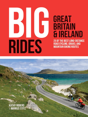
Fietsgids Big Rides- Great Britain & Ireland - Vertebrate Publ. • 9781839810725
Big Rides- Great Britain & Ireland - Vertebrate Productomschrijving: 25 of the best long-distance road cycling, gravel and mountain biking routes Big Rides: Great Britain & Ireland features twenty-five long-distance cycling trails in England, Scotland, Wales, Northern Ireland and Ireland, and includes a general overview of the trails, specific technical information, overview mapping, …
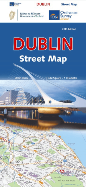
Stadsplattegrond Dublin street map - Ordnance Survey • 9781912140657
Stadskaart Dublin street map - Ordnance Survey Productomschrijving: This map is a large, double-sided street plan from the Ordnance Survey of Ireland covering the city beyond its motorway ring, with an enlargement showing the centre in greater detail, plus an index in a separate booklet. The map is double-sided, dividing Dublin east/west with a good overlap between the sides, and provides…