

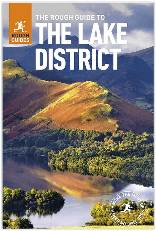
Reisgids Lake district NP England - Rough Guides
A comprehensive & lively guide to Britain's Lake District
Korte omschrijving
Reisgidsen Cumbria, England van Rough Guides. Ideaal voor tochten in England.
Reisgids Lake district NP England - Rough Guides Productomschrijving: The Rough Guide to the Lake District is the best all-purpose guide to the English Lake District, beautifully illustrate...

Specificaties
- Uitgever: Rough Guides
- ISBN-13: 9780241256114
- HOOFDCATEGORIEËN: Reisgids
- Activiteiten: Toerisme
- Auteur: Jules Brown
- Regio: Cumbria, England
- Land: England
- Nationale parken: Lake District NP, Cumbria England
- Editie: 7
- Taal: Engels
- Reeks/Serie: Rough Guides Mini
- Iconische Wandelroutes: Lake district, Cumbria England
- De Nationale Parken: Lake district National Park, England
Volledige omschrijving
Reisgids Lake district NP England - Rough Guides
Productomschrijving: The Rough Guide to the Lake District is the best all-purpose guide to the English Lake District, beautifully illustrated with colour photos and full-colour maps.
Comprehensive, lively reviews outline the finest places to stay and eat for every budget, all fully revised for this seventh edition by our Lakes expert. Whether you’re looking for a walker’s hostel or boutique hotel, simple café or swanky gastropub, farmhouse B&B or country-house hotel, The Rough Guide to the Lake District has the lowdown on all the best deals. The guide includes detailed information on the best way to get around by public transport, plus special features on the great outdoors focussing on local walks, classic hikes, mountain climbs, lake cruises and family adventures.
The “Things Not to Miss” section pinpoints some of the absolute must-sees, while author picks throughout The Rough Guide to the Lake District highlight personal favourites and special places that are less well known. Whether you’re on a walking holiday or family break, you can discover all the facts you need – from full opening times and admission prices to festival dates and walking routes, plus history, culture, nature and wildlife of the English lakes to help you make the most of your time in the Lake District.

Artikelen uit dezelfde regio
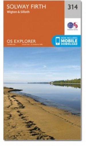
Wandelkaart 314 Solway Firth- Cumbria England - OSI • 9780319471869
Wandelkaart Solway Firth - Cumbria England Omvat ook: Wigton & Silloth, aansluitend ligt het NP Lake District. Productbeschrijving: OS Explorer 314 toont de Solway Firth, Annan, Wigton en Silloth. Het omvat ook een deel van het nationale Scenic gebied van Nith estuarium, en de Solway Coast gebied van buitengewone natuurlijke schoonheid AONB. Er is ook de Cumbria Costal Way, Allerdale R…
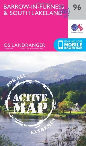
Wandelkaart 96 Barrow-in-Furness & South Lakeland - OSI • 9780319474198
Wandelkaart Barrow-in-Furness & South Lakeland - Cumbria Productbeschrijving: OS Landranger kaart 96 is de ideale kaart voor het plannen van wandelingen in deze prachtige kuststreek van het Lake District. Buitenshuis kunnen liefhebbers kiezen tussen dramatische lakeside Panorama's of kust paden. Hoogtepunten van het gebied zijn Piel castle, Walney Island, Ulverston en Coniston Water De…

Scramblegids Lake District South and East - Cicerone • 9781786310453
Scramblegids - Lake District South and East - Cicerone Productomschrijving: Gids met 126 klauterroutes in het Engelse Lake District. De gegradeerde scrambles beklimmen de rotsen en ghylls van Langdale, Easedale, Coniston, Duddon Valley, Howgills, Eskdale, Longsleddale en Kentmere. Routes variëren van graad 1 tot en met graad 2 tot 4, waarbij het gebruik van een touw wordt aanbevolen. Bevat…

Wandelgids Hadrian's wall Path - Knife Edge • 9781912933075
Wandelgids - Hadrian's wall Path - Knife Edge Productomschrijving: De definitieve tweerichtingsgids voor het Hadrian's Wall Path: zowel oostwaartse als westelijke routes worden volledig beschreven. 14 verschillende routes: schema's van 3, 4, 5, 6, 7, 8 en 9 dagen voor wandelaars en hardlopers. Omvat reisroutes naar het noorden en het zuiden. De moeilijkere berekeningen van tijd, afstand en…

Wandelgids Hadrian's Wall Path - Rucksack Readers • 9781913817312
Wandelgids Hadrian's Wall Path Productomschrijving: Hadrian's Wall Path runs for 86 miles (135 km) between Bowness-on-Solway and Wallsend (Newcastle) along the line of the Roman Wall completed in AD122 under the Emperor Hadrian. This National Trail crosses northern England from Irish Sea to North Sea and offers many chances to look at the forts, milecastles and interpretation centres withi…