

Reisgids Pays de Galles / Wales - Petit futé
Snowdonia PN - Pembrokeshire PN - Brecon Beacon PN
Korte omschrijving
Reisgidsen Wales van Petit Futé. Ideaal voor tochten in Wales en United Kingdom, Great Britain.
Guide de voiage Pays de Galles - Petit futé Productomschrijving: Si l'on devait faire le portrait du Pays de Galles, on le comparerait volontiers à un petit bout, très occidental, de la Fran...
Specificaties
- Uitgever: Petit Futé
- ISBN-13: 9782305113098
- HOOFDCATEGORIEËN: Reisgids
- Activiteiten: Toerisme
- Regio: Wales
- Land: United Kingdom, Great Britain, Wales
- Taal: Frans
- Reeks/Serie: Country guide, Petit Futé
Volledige omschrijving
Guide de voiage Pays de Galles - Petit futé
Productomschrijving: Si l'on devait faire le portrait du Pays de Galles, on le comparerait volontiers à un petit bout, très occidental, de la France de l'Ouest. Une contrée qui serait un mélange de pays de Retz, avec ses côtes rocheuses, ses petits ports de pêche, ses plages et ses criques, de Normandie, pour ses nombreux vallons verdoyants et humides, de Bretagne profonde, pour ses nombreux châteaux en ruines et ses croix celtiques.
Si le soleil est rarement au rendez-vous, le climat est doux, si la langue est pleine de consonances inconnues et rudes, l'accueil chaleureux laisse libre cours à la jovialité, surtout après quelques pintes de bière. C'est un séjour en campagne, fraîche et revigorante que propose le Pays de Galles: les prés, la mer, les chevaux, le rugby, une cuisine roborative et de franches amitiés.


Artikelen uit dezelfde regio

Wandelkaart 262 Anglesey West- Wales AONB - OSI • 9780319244593
Wandelkaart Anglesey West - Wales AONB Productbeschrijving: Holyhead 262 - Anglesey West, Wales AONB - Kaart nummer 262 in de OS Explorer reeks heeft betrekking op het westen van het eiland van Anglesey AONB (Ynys Mon) met inbegrip van Holyhead (Caergbyi). Hoogtepunten van het gebied zijn onder andere: Holy Island (Ynys Gybi), Holyhead bay, Llyn Alaw, Wylfa Head en Carmel hoofd. De OS…

Wandelgids Best Day Walks Great Britain - Lonely Planet publ. • 9781838692100
Wandelgids Great Britain - Lonely Planet publications Productomschrijving: Lonely Planet's Best Day Walks Great Britain is your passport to 60 easy escapes into nature. Stretch your legs outside the city by picking a hike that works for you, from a few hours to a full day, from easy to hard. Cross misty moors, hike wild landscapes, and explore the highlands. Get to the heart of Great Brita…
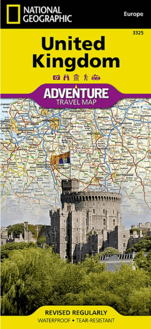
Landkaart Wegenkaart 3325 Adventue map Groot-Brittannië - Nat Geo • 9781566956444
Wegenkaart Adventue map Groot-Brittannië - Nat Geo Productomschrijving: National Geographic's United Kingdom Adventure Map is designed to meet the needs of adventure travelers with its detailed, accurate information and user-friendly design. Cities and towns are easy to find with the map's helpful index. Motorways, highways, and other roads are clearly designated and include distance in ki…

Landkaart Wegenkaart 6 Wales & Midlands West - OSI • 9780319263785
Wegenkaart Wales & Midlands West - OSI Productomschrijving: Plan your journey with this series of road maps from OS. Showing all major road, rail and ferry links as well as settlements and selected features in 1: 250 000 scale, this is the ideal map for planning trips and holidays by car or cycle. OS Road 6 covers: the Wales plus the West Midlands.
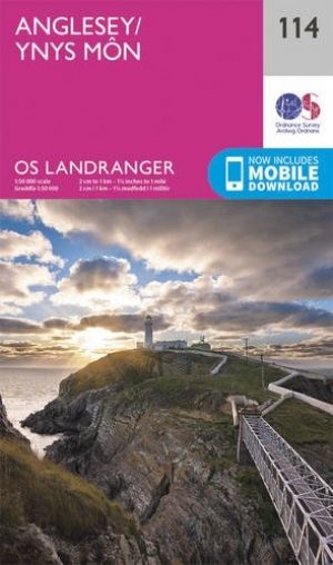
Wandelkaart 114 Anglesey & Ynys Môn- N.W. Wales - OSI • 9780319262122
Wandelkaart Anglesey & Ynys Môn North West Wales - OSI Productbeschrijving: Kaart nummer 114 is een all purpose kaart vol gepakt met informatie om u het gebied te helpen leren kennen. De 204 Landranger-kaarten bestrijken het land. Elke kaart heeft een oppervlakte van 40 km door 40 km (25 mijl door 25 mijl) en zoals andere kaarten van Ordnance Survey, National Grid-vierkanten worden verstr…