

Wandelgids 087 Pathfinder guides Northumberland - OS
Kielder Water - The Cheviot - Berwick - Amble - Hadrian’s Wall


Korte omschrijving
Wandelgidsen Northumberland, Engeland van Ordnance Survey. Ideaal voor tochten in England.
Wandelgids Northumberland - OS Productomschrijving: Opening with a gentle short walk at Kielder Water and concluding with an energetic and challenging ramble to the summit of The Cheviot, w...

Specificaties
- Uitgever: Ordnance Survey
- ISBN-13: 9780319092576
- HOOFDCATEGORIEËN: Wandelgids
- Activiteiten: Wandelen, Hiking & Trekking
- Auteur: Dennis Kelsal, Jan Kelsall
- Regio: Northumberland, Engeland
- Land: England
- Nationale parken: Northumberland NP, England
- Taal: Engels
- Reeks/Serie: Outstanding Circular Walks, Pathfinder Series, OS
- De Engelse Graafschappen: Northumberland
- De Nationale Parken: Northumberland National Park, England
Volledige omschrijving
Wandelgids Northumberland - OS
Productomschrijving: Opening with a gentle short walk at Kielder Water and concluding with an energetic and challenging ramble to the summit of The Cheviot, walks are arranged in the book by completion time, with shorter and easier routes at the start and longer outings at the end. Walks are professionally authored and depicted with GPS waypoints, Ordnance Survey maps and beautiful photography.
180 miles of superb Northumbrian walking on coastal circuits between Berwick and Amble, and with loops along Hadrian’s Wall Path focussed on the best sections of the Roman frontier. Explore the beautiful valleys of the rivers Breamish, Coquet and Wansbeck; enjoy high moorland rambles in the Cheviots and their foothills; and market town visits to Alnwick, Hexham and Morpeth.
OS Pathfinder Guides: Outstanding Circular Walks
- The definitive pocket book guide to Great Britain’s great outdoors
- 28 mostly circular walks in one guidebook, from 2 to 13½ miles
- Walks graded by distance and difficulty easy, moderate, and challenging based on: Terrain, Elevation, Remoteness
- Includes OS Explorer 1:25 000 scale map extracts for every route (4cm to 1km or 2½ inches to one mile)
- Discover GPS waypoints, parking information and detailed route descriptions for fool proof navigation
- Enhances your walk with information on rare wildlife, natural habitats and points of historical interest

Artikelen uit dezelfde regio
Wandelgids 035 Pathfinder guides Northumberland- Scottish Borders • 9780319090268
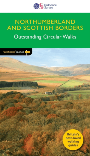
Wandelgids Northumberland & Scottish Borders - OS Productomschrijving: This revised version of the Pathfinder walking guidebook for Northumberland and the Scottish Borders contains 28 carefully selected walking routes to help you make the most of the area. All the routes have been created and tested by seasoned walkers, and range from two to thirteen miles in length. Each route include…
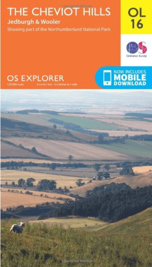
Wandelkaart OL16 Cheviot Hills, Jedburgh & Wooler - OS • 9780319242551
Wandelkaart Cheviot Hills, Jedburgh & Wooler - OS Productomschrijving: Cheviot Hills, Jedburgh & Wooler, part of Northumberland Natioal Park. Omvat: Cheviot Hills, Jedburgh & Wooler, part of Northumberland Natioal Park, Pennine Way, E2 European long Distance Path, Borders Abbeys Way & St-Cuthbert's Way. Ontdek de OL-serie van Ordnance Survey: De OL-serie (Outdoor Leisure) van Ord…
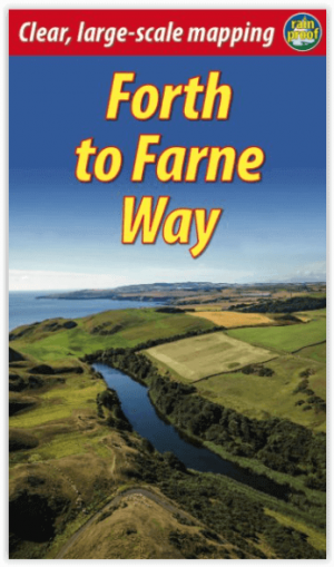
Wandelgids Forth to Farne Way - Schotland - Rucksack Readers • 9781898481966
Wandelgids Forth to Farne Way - Schotland Productomschrijving: Deze inspirerende pelgrimsroute van 110 mijl begint vanuit North Berwick aan de Firth of Forth bij Edinburgh en gaat verder via de 12e-eeuwse kerk van Whitekirk naar Dunbar. Het volgt de Noordzeekust naar het adembenemende landschap van St-Abb's Head en bezoekt Coldingham Priory, misschien wel het belangrijkste benedictijnenklo…

Wandelkaart Hadrian's Wall Path - Vertebrate Publ. • 9781839810312
Hadrian's Wall Path - Vertebrate Productomschrijving: Easy-to-use folding map and essential information, with custom itinerary planning for walkers, trekkers, fastpackers and trail runners Hadrian's Wall Path Guidemap from Vertebrate Publishing is a lightweight, waterproof, durable and easy-to-use folding map with 1:40,000-scale mapping for the east to west HWP route. Includes route va…
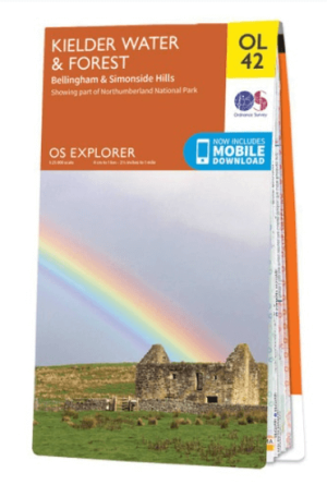
Wandelkaart OL42 Kielder Water & Forest - OS • 9780319242810
Wandelkaart Kielder Water & Forest - OS Productomschrijving: Kielder Water & Forest, Bellingham & Simonside Hills, part of Northumberland National Park, Pennine Way, St Oswald's Way, Lakeside Way & E2 European long distance Path. Omvat: Kielder Water & Forest, Bellingham & Simonside Hills Ontdek de OL-serie van Ordnance Survey: De OL-serie (Outdoor Leisure) van Ordnance Survey i…