

Wandelgids 093 Pathfinde North Yorkshire Accessible walks - OS
Yorkshire Dales National Park - North York Moors National Park

Korte omschrijving
Wandelgidsen Yorkshire, England en North Yorkshire, Engeland van Ordnance Survey. Ideaal voor tochten in England.
Wandelgids North Yorkshire Accessible walks - OS Productomschrijving: This guide comprises 33 beautiful walks, ranging in distance from 0.5 to 8 miles, across North Yorkshire, with ten route...

Specificaties
- Uitgever: Ordnance Survey
- ISBN-13: 9780319092859
- HOOFDCATEGORIEËN: Wandelgids
- Activiteiten: Wandelen, Hiking & Trekking
- Regio: North Yorkshire, Engeland, Yorkshire, England
- Land: England
- Nationale parken: North York Moors NP, England, Yorkshire Dales NP, England
- Taal: Engels
- Reeks/Serie: Outstanding Circular Walks, Pathfinder Series, OS
- De Engelse Graafschappen: North Yorkshire, Yorkshire
Volledige omschrijving
Wandelgids North Yorkshire Accessible walks - OS
Productomschrijving: This guide comprises 33 beautiful walks, ranging in distance from 0.5 to 8 miles, across North Yorkshire, with ten routes in the Yorkshire Dales National Park, eleven in the North York Moors National Park, North Sea coast routes at Whitby, Robin Hood’s Bay and Bempton, and routes handily placed near the Richmond, Ripon, Thirsk and York.
Walks are sequenced in the book from shortest to longest, while each all-abilities route is graded for wheelchairs according to one of three accessibility ratings: for all, for many and for some. By design, these routes are all pushchair friendly and make delightful, reasonably gentle walks for everyone to enjoy.
Route descriptions are presented with GPS waypoints, large-scale OS Explorer mapping and feature of interest information, with notes on parking and accessibility. You can enjoy the calming, sylvan beauty of peaceful Nettledale, roam the extensive parkland at Castle Howard, and explore the fascinating geological outcrops at Brimham Rocks.
OS Pathfinder Guides: Outstanding Circular Walks
- The definitive pocket book guide to Great Britain’s great outdoors
- 38 fully accessible walks for all Walks ranging from ¾ to 8 miles vast majority less than 3 miles with almost half linear
- Photos showing typical path conditions for routes with tricky points
- Packed with essential information per walk: Start / finish position, travel information on how to get there, parking, toilets and refreshments stops
- Includes OS Explorer 1:25 000 scale map extracts for every route (4cm to 1km or 2½ inches to one mile)
- Discover GPS waypoints, parking information and detailed route descriptions for foolproof navigation
- Enhances your walk with information on rare wildlife, natural habitats and points of historical interest
Artikelen uit dezelfde regio

Mountainbikegids Yorkshire Dales mountain biking - Cicerone • 9781852846763
Mountainbikegids - Yorkshire Dale mountain biking - Cicerone Productomschrijving: Een handige gids over 30 korte, middellange, lange en volledig-dag MTB routes over het Yorkshire Dales National Park, de speeltuin van de bergfietser van Noord-Engeland. Circulaire ritten bezoeken de grote valleien en nemen lussen rond twee van de drie pieken, Whernside en Pen-y-Gent. Kies een route door midd…

Fietskaart North York Moors - Goldeneye • 9781859652763
Fietskaart North York Moors - Goldeneye Productomschrijving: Het North York Moors National Park beslaat een gebied met hooggelegen, glooiende heidevelden, die in het noorden en westen een steile helling vormen, en in het oosten een ruige, grillige kustlijn. In het zuiden loopt de grond zachter af naar de Vales of Mowbray en Pickering. De Moors worden doorsneden door een reeks kleine stroom…
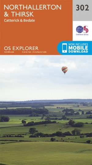
Wandelkaart 302 Northallerton & Thirsk- North Yorkshire • 9780319245545
Wandelkaart Northallerton & Thirsk - North Yorkshire England Omvat ook: Catterick & Bedale Productomschrijving: Kaart nummer 302 in de OS Explorer kaarten reeks is ideaal voor het ontdekken North Yorkshire rond Thirsk en Northallerton. Dit gebied maakt deel uit van de Vale van Mowbray, en heeft meanderende rivieren en golvende landschappen te verkennen, die in detail op deze kaart word…
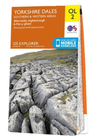
Wandelkaart OL02 Yorkshire Dales - South& Western areas - OS • 9780319263310
Wandelkaart OL2 Yorkshire Dales - South& Western areas - OS Productomschrijving: Yorkshire Dales Nationale Park - South& Western areas, Whernside, Ingleborough & Pen-y-ghent, The AONB Area's of Forest of Bowland & Nidderdale AONB. Yorkshire three peaks, The Devils Bridge at Kirkby Lonsdale, Leeds to Liverpool Canal at Skipton, The Pennine Way, Settle, and Old Town. Omvat: Whernside, I…

Reisgids Walking the Wharfe - Bradt travel Guides • 9781804691106
Walking the Wharfe - Bradt travel Guides Productomschrijving: In een wereld van globetrottende ontdekkingsreizigers en recordbrekende reizen - waar hij zelf ook deel van uitmaakte - besloot Johno Ellison terug te keren naar zijn roots en de hele lengte van de rivier Wharfe te lopen, de waterweg in Yorkshire waar hij opgroeide. In zijn nieuwe boek voor Bradt, Walking the Wharfe, volgt Ellis…