

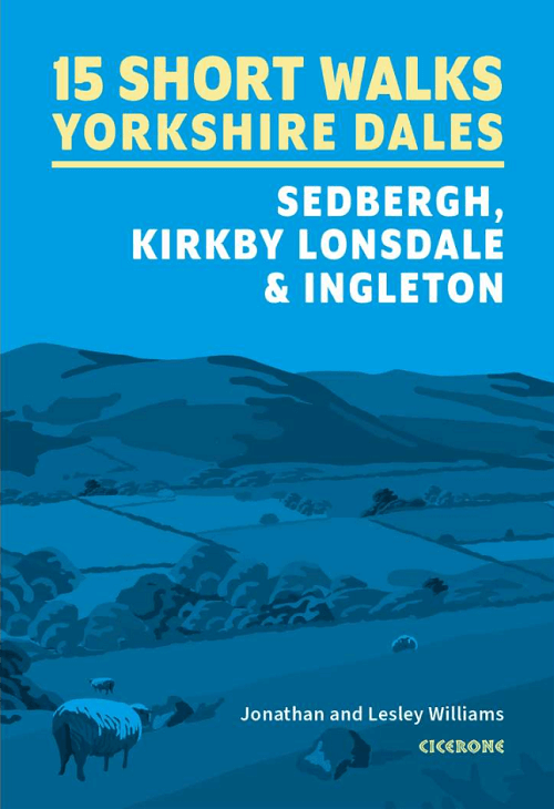
Wandelgids 15 short walks in the Yorkshire Dales NP - Cicerone
Sedbergh, Kirkby Lonsdale and Ingleton

Korte omschrijving
Wandelgidsen North Yorkshire, Engeland van CICERONE Press. Ideaal voor tochten in England.
15 short walks in the Yorkshire Dales - Cicerone Productomschrijving: Would you like to explore the best of the Sedbergh, Kirkby Lonsdale and Ingleton? This guidebook covers 15 of the best ...

Specificaties
- Uitgever: CICERONE Press
- ISBN-13: 9781786312488
- HOOFDCATEGORIEËN: Wandelgids
- Activiteiten: Wandelen, Hiking & Trekking
- Auteur: Jonathan Williams, Lesley Williams
- Regio: North Yorkshire, Engeland
- Land: England
- Nationale parken: Yorkshire Dales NP, England
- Editie: 1
- Taal: Engels
- De Engelse Graafschappen: North Yorkshire, Yorkshire
Volledige omschrijving
15 short walks in the Yorkshire Dales - Cicerone
Productomschrijving: Would you like to explore the best of the Sedbergh, Kirkby Lonsdale and Ingleton? This guidebook covers 15 of the best short walks in the area (all under three hours), including Cautley Spout, Pendragon Castle, Wild Boar Fell, the Lune Valley and Ingleton Waterfalls Trail.
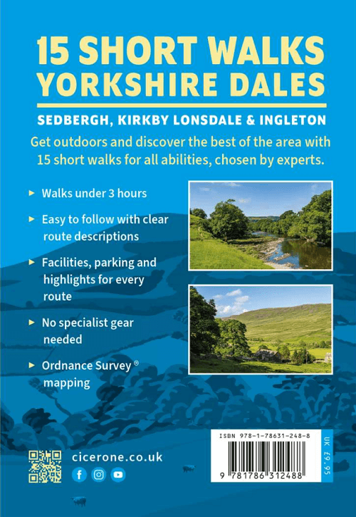
Why choose this guidebook?
- Easy to moderate walks suitable for almost everyone
- Short climbs but no challenging terrain
- Numbered points which tie OS maps to clear route description
- Facilities, parking and highlights for every route
- Route Summary Table to help you choose your walk
Cicerone’s Short Walks guidebooks contain everything you need to get outdoors and discover the best of an area. The routes are perfect if you’re new to walking or looking for something you can enjoy with the whole family. Let the adventures begin!.
Seasons:
These routes are suitable for walking at all times of the year, although in winter and extremely wet weather, extra care will be needed on steep slopes and near rivers and waterfalls.
Centres:
Sedbergh and Kirkby Lonsdale are the main centres. The villages of Dent and Barbon also provide a range of more limited facilities.
Difficulty:
The Yorkshire Dales comprise dales (valleys) but also steep hillsides from where extensive views can be enjoyed. Stoney tracks and paths tend to be the norm, rivers and streams are crossed on footbridges, and narrow ‘squeeze’ stiles pass through drystone walls.
Must See:
Sedbergh, Kirkby Lonsdale, Dent, Barbon, Barbondale, Dentdale, Howgill fells, Winder, Calf, Calders, River Lune, River Rawthey, River Dee. Ingleton waterfalls, Cautley Spout, Ingleborough, Pendragon Castle, Sedbergh school, Ruskin’s View, Farfield Mill, Dent Station, Coal Road, viaducts.

Artikelen uit dezelfde regio

Wandelkaart 100 Malton & Pickering- Yorkshire - OSI • 9780319261989
Wandelkaart Malton & Pickering - North Yorkshire England - OSI Productbeschrijving: Landranger kaart 100 bestrijkt van het zuidwesten van het North York Moors National Park, en omvat de steden Malton, Pickering, Helmsley en Easingwold. De start van de Cleveland Way (of einde) in Helmsley is 177km lang, of volg verschillende wandelpaden langs de pittoreske rivier Derwent. De OS Landrang…
Wandelkaart 302 Northallerton & Thirsk- England - OSI • 9780319471746
Wandelkaart Northallerton & Thirsk - North Yorkshire England Omvat ook: Catterick & Bedale. Productbeschrijving: Kaart nummer 302 in de OS Explorer kaarten reeks is ideaal voor het ontdekken North Yorkshire rond Thirsk en Northallerton. Dit gebied is onderdeel van de Vale van Mowbray, en heeft zwoele rivieren en golvende landschappen om te ontdekken, die in detail op deze kaart worden …

Wandelkaart OL26 North York Moors Western area - OSI • 9780319469446
Wandelkaart North York Moors - North Yorkshire England Productbeschrijving: Kaart nummer OL26 in de OS Explorer reeks heeft betrekking op de Cleveland Hills, het westelijke deel van de North York Moors en een klein deel van de Howardian hills. Hoogtepunten van het gebied zijn onder andere: Saltburn-by-the-Sea, Guisborough, Helmsley en Hunt Topping. Productdiscription: Map sheet number …
Wandelkaart 302 Northallerton & Thirsk- North Yorkshire • 9780319245545
Wandelkaart Northallerton & Thirsk - North Yorkshire England Omvat ook: Catterick & Bedale Productomschrijving: Kaart nummer 302 in de OS Explorer kaarten reeks is ideaal voor het ontdekken North Yorkshire rond Thirsk en Northallerton. Dit gebied maakt deel uit van de Vale van Mowbray, en heeft meanderende rivieren en golvende landschappen te verkennen, die in detail op deze kaart word…

Wandelkaart 94 Whitby & Esk Dale- North Yorkshire - OSI • 9780319474174
Wandelkaart Whitby & Esk Dale - North Yorkshire England Productbeschrijving: Kaart OS Landranger 94 toont het meeste van het North York Moors National Park, en omvat Robin Hoods Bay, Whitby en Saltburn-by-the-Sea. De Esk Dale is een schilderachtige vallei - Volg de Esk Valley Walk (56km aan het einde) om het beste van dit gebied te zien. De kust stad van Whitby is waarschijnlijk het meest …