

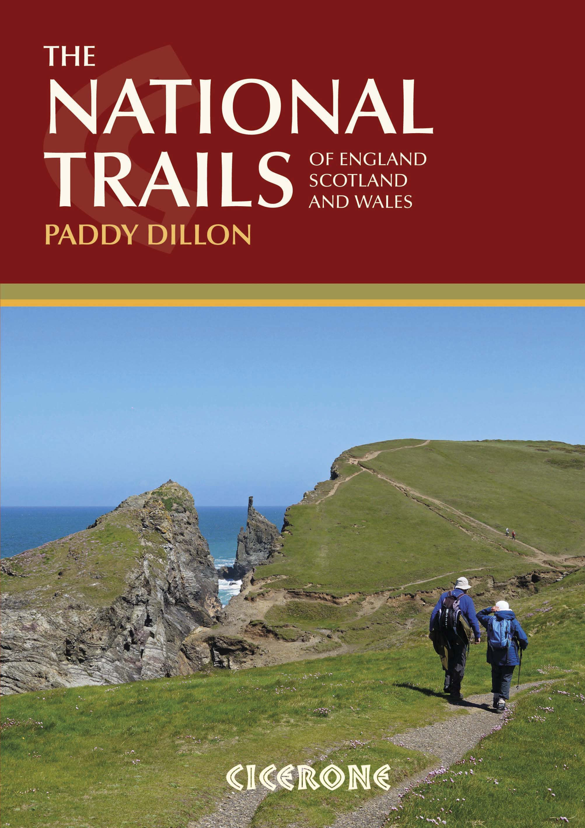
Wandelgids 19 routes England- Schotland & Wales - Cicerone
19 National Trails in de UK in Wales- England & Schotland


Korte omschrijving
Wandelgidsen Engeland, Schotland en Wales van CICERONE Press. Ideaal voor tochten in England, Schotland en Wales.
Wandelgids - 19 routes England- Schotland & Wales - Cicerone Productomschrijving: Deze inspirerende gids kijkt naar elk van de 19 National Trails in het Verenigd Koninkrijk, met informatie d...

Specificaties
- Uitgever: CICERONE Press
- ISBN-13: 9781852847883
- HOOFDCATEGORIEËN: Wandelgids
- Activiteiten: Wandelen, Hiking & Trekking
- Regio: Engeland, Schotland, Wales
- Land: England, Schotland, Wales
- Editie: 2
- Taal: Engels
Volledige omschrijving
Wandelgids - 19 routes England- Schotland & Wales - Cicerone
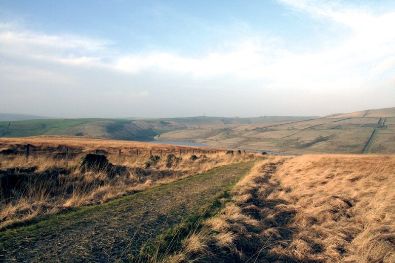
Productomschrijving: Deze inspirerende gids kijkt naar elk van de 19 National Trails in het Verenigd Koninkrijk, met informatie die het gemakkelijk maakt om vergelijking en contrast te vinden, inspiratie bij het vinden van, en tot het nemen van een lange afstandsuitdaging. Sommige Trails zijn kort en gemakkelijk, anderen veel langer, velen hebben sterke thema's - ze kunnen een kustlijn volgen, of heuvelruggen oversteken.
Engelse omschrijving: This inspirational guidebook looks at each of the UK's 19 National Trails, with information that allows ease of comparison and contrast, inspiring you to find out more and to take up a long-distance challenge. Some Trails are short and easy, others much longer, many have strong themes - they may follow a coastline, or traverse ranges of hills.
Seasons:
All trails can be tackled throughout the year, though many of the northern and Scottish routes can be challenging in winter conditions. Avoid the Hadrian's Wall Path in winter, as the ground is soft and underlying archaeology easily damaged.
Difficulty:
The routes vary in both length and technical difficulty, the longest being the South West Coast Path and the most difficult possibly the Pennine Way.
Must See:
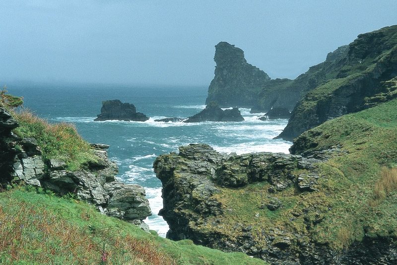
Broad views and unspoilt landscapes in some of Britain's best walking areas - from thunderous breaking waves against the cliffs on the South West Coast Path to Buachaille Etive Mor at the gateway to Glen Coe.
Artikelen uit dezelfde regio

Reisgids Culture Smart Britain - Groot Brittannië - Kuperard • 9781787023574
Reisgids Culture Smart Britain - UK Productomschrijving: The essentiel guide to customs & culture. Culture smart Britain is an illuminating and practical guide to British culture and society. It will help you turn your visit - whether it's for business or for pleasure - into a memorable and enriching experience. Contents include: - local customs and traditions - the impact of histo…

Wandelkaart 262 Anglesey West- Wales AONB - OSI • 9780319244593
Wandelkaart Anglesey West - Wales AONB Productbeschrijving: Holyhead 262 - Anglesey West, Wales AONB - Kaart nummer 262 in de OS Explorer reeks heeft betrekking op het westen van het eiland van Anglesey AONB (Ynys Mon) met inbegrip van Holyhead (Caergbyi). Hoogtepunten van het gebied zijn onder andere: Holy Island (Ynys Gybi), Holyhead bay, Llyn Alaw, Wylfa Head en Carmel hoofd. De OS…
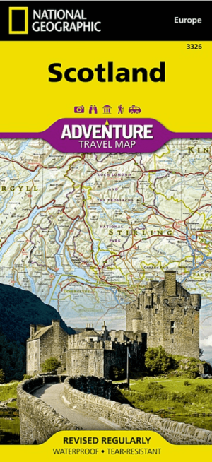
Landkaart Wegenkaart 3326 Adventure map Schotland - Nat Geo • 9781566956451
Wegenkaart Adventure map Schotland - Nat Geo Productomschrijving: National Geographic's Scotland Adventure Map provides global travelers with the perfect combination of detail and perspective in a highly functional travel tool. Whether you are taking in the local culture, playing a round in the "home of golf," or climbing one of Scotland's many peaks over 3,000 feet - a feat known as "munr…
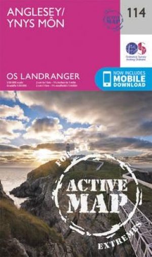
Wandelkaart 114 Anglesey- North West Wales - OSI • 9780319474372
Wandelkaart Anglesey - North West Wales - OSI Productbeschrijving: Kaart nummer 114 in de reeks van de OS Landranger kaarten bestrijkt het platteland Welsh eiland Anglesey. Het is omringd door zandstranden en rotsachtige grotten, met het binnenland dat deel is van het eiland wordt meestal landbouw geteelt. Anglesey is briljant geschikt voor toeristen met een ruime keuze aan accommodatie en…

Landkaart Wegenkaart 3 Zuid Oost Engeland - AA • 9780749584085
Wegenkaart Zuid Oost Engeland - AA Productomschrijving: AA Road Map South East England is a practical and slimline, foldable map from the experts at the AA. Encased in a durable, weatherproof cover, the mapping is produced at a scale of 3 miles to 1 inch (1:200,000 / 2km to 1cm) combining clear design, an easy-to-read scale and more road detail to ensure that you never lose your way. …