

Wandelgids SWCP guide - Cicerone Press
Minehead to South Haven Point


Korte omschrijving
Wandelgidsen Cornwall, England, Devon, England, Somerset South West England en Dorset, England van CICERONE Press. Ideaal voor tochten in United Kingdom, Great Britain en England.
The South West Coast Path - Cicerone Productomschrijving: Omvat spectaculaire plaatsen die dit deel van het Engelse landschap rijk is, zoals Exmoor National Park, met 5 AONB's of Areas of Ou...

Specificaties
- Uitgever: CICERONE Press
- ISBN-13: 9781786310682
- HOOFDCATEGORIEËN: Wandelgids
- Activiteiten: Wandelen, Hiking & Trekking
- Auteur: Paddy Dylan
- Regio: Cornwall, England, Devon, England, Dorset, England, Somerset South West England
- Land: England, United Kingdom, Great Britain
- Editie: 3
- Taal: Engels
- Iconische Wandelroutes: South West coast Path, Cornwall UK
Volledige omschrijving
The South West Coast Path - Cicerone
Productomschrijving: Omvat spectaculaire plaatsen die dit deel van het Engelse landschap rijk is, zoals Exmoor National Park, met 5 AONB's of Areas of Outstanding Natural Beauty, de Jurassic Coast Natural World Heritage Site. Deze route bestaat al heel lang. De route start of eindigd natuurlijk in Minehead, in Somerset, loopt langs de kust richting de volledige kust van Cornwall, en loopt verder langs de English channel tot in South Haven Point in Dorset. Langs de route zijn talrijke verblijfplaatsen en resto's, die ervoor zorgen dat u niet kunt tekort komen, althans niet als u de route volgt zoals die word voorgesteld.
Engelse omschrijving: Guidebook to walking the entire South West Coast Path National Trail. The route runs for 630 miles from Minehead to Poole along the north Devon, Cornish, south Devon and Dorset coastline. Divided into 45 stages, this long-distance coastal trek could be completed within 4 weeks, or walked in sections. Guide includes maps and essential information.
Seasons:
This National Trail may be walked year-round: be aware that winter accommodation availability may be limited, while high summer will be extremely busy and the weather often hot.
Centres:
Many centres are passed along the route, including Minehead, Lynmouth, Westward Ho!, Clovelly, Bude, Padstow, Newquay, St Ives, Penzance, Falmouth, Mevagissey, Polperro, Plymouth, Salcombe, Brixham, Portland, Swanage and Poole.
Difficulty:
The South West Coast path is a long walk! Most paths are easy to moderate, with some walks along rugged and exposed coastal cliff paths and some steep gradients.
Must See:
Exmoor National Park; 5 Areas of Outstanding Natural Beauty; the Jurassic Coast Natural World Heritage Site; numerous Heritage Coasts National and Local Nature Reserves, Sites of Special Scientific Interest and National Trust holdings.

Locatie op kaart
Gekoppelde artikelen

Wandelgids Part 3 SWCP Map Booklet PLymouth to pool - Cicerone • 9781786312006
standaard versieMap booklet South West Coast Path - Cicerone Productomschrijving: Kaart van een deel van het zuidelijke deel van het 630 mijl (1014 km) lange South West Coast Path National Trail. Omvat het pad van Plymouth naar Poole langs de kustlijn van Devon en Dorset. Dit handige en compacte boekje met Ordnance Survey 1:25.000 kaarten toont de route en biedt alle kaarten die je nodig hebt om het pad i…
Artikelen uit dezelfde regio

Wandelgids Dorset A 50 walks guide - AA Publishing • 9780749583231
Dorset - A 50 walks guide - AA Publishing Productomschrijving: Wandelen is een van de favoriete vrijetijdsbestedingen van Groot-Brittannië. De AA 50 Walks in Dorset gids, bevat een reeks uitgestippelde wandelingen van 3 tot 12 km, geschikt voor alle niveaus. Het boek bevat alle praktische details die je nodig hebt, vergezeld van boeiende achtergrondinformatie over de geschiedenis en de nat…
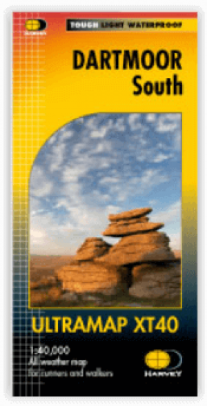
Wandelkaart XT40 Dartmoor NP Zuid - Harvey Maps • 9781851376339
Wandelkaart XT40 Ultra - Dartmoor NP Zuid - Harvey Maps Productomschrijving: De kaart omvat een groot gebied maar is wel zeer praktisch en compact, en in zakformaat. Deze gedetailleerde wandelkaart is bestemd voor lopers en wandelaars van het zuidelijk deel van Dartmoor National Park. Omvat eveneens Dartmoor's bekende Tors waaronder Great Staple Tor & Ugborough Beacon. Met archaeologische …
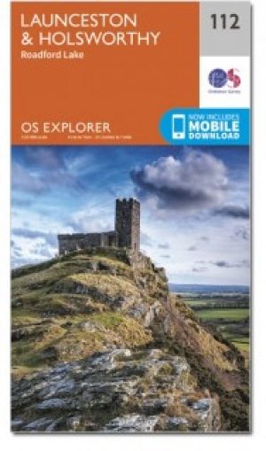
Wandelkaart 112 Launceston & Holsworthy- Devon - OSI • 9780319243138
Wandelkaart Launceston & Holsworthy - Devon England - OSI Productomschrijving: - Roadford Lake. Kaart nummer 112 omvat Holsworthy en Launceston. Hoogtepunten zijn Dartmoor National Park, Tamar Valley en Roadford Lake. Omvat ook Sheepwash, Milton Abbot, Lifton en Chapmans Well. De OS Explorer kaart voor Launceston & Holsworthy is beschikbaar in zowel de standaard papieren versie als de …
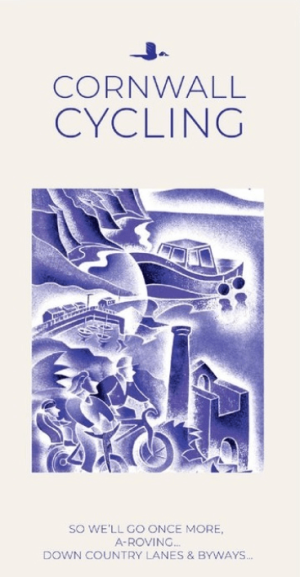
Fietskaart 01 Cornwall cycling map - Goldeneye • 9781859653029
Fietskaart Cornwall cycling map - Goldeneye Productomschrijving: Eén van Engeland's meest afgelegen gebieden, meest bezocht voor zijn vakantie eigenschappen. Met marktjes, pitoreske dorpen, interessante resto's en pub's. Prachtig gelegen terrasjes, havenbootjes, en noem maar op. Een prachtig zeker geen klein gebied om in te vertoeven. Engelse omschrijving: Cornwall is one of England’s …

Wandelkaart OL15 Purbeck & South Dorset - OS • 9780319242544
Wandelkaart Purbeck & South Dorset - OS Productomschrijving: Parts of the South West Coast Path SWCP, Dorset Area of Outstanding Natural Beauty. Omvat: Purbeck, South Dorset, Poole, Dorchester, Weymouth & Swanage, Castleman Trailway, E9 European Coastal parth, England Coast Path, Hardy Way, Jubilee Trail, Macmillan Way, Monarch's Way, Poole Harbour Trail, Portland Coast Path, Purbeck …