

Wandelkaart 414 Glen Shiel & Kintail Forest Schotland OSI
Omvat natuurgebieden als Loch Cluanie & Loch Quoich

Korte omschrijving
Wandelkaarten Highlands, Schotland van Ordnance Survey. Ideaal voor tochten in Schotland.
Wandelkaart Glen Shiel & Kintail Forest - Highland's Schotland Omvat ook: Shiel Bridge, Morvich, Killilan & Kinloch Hourn. Productbeschrijving: Als u van plan bent om zoveel Munros mogel...

Specificaties
- Uitgever: Ordnance Survey
- ISBN-13: 9780319472699
- HOOFDCATEGORIEËN: Wandelkaart
- Activiteiten: Wandelen, Hiking & Trekking
- Regio: Highlands, Schotland
- Land: Schotland
- Waterafstotende kaart: Ordnance Survey ACTIVE Explorer Weatherproof Maps
- Regionale parken: Kintail Forest, Highland's Schotland
- TOPO's & Stafkaarten: Topografisch wandelen
- Schaal: 1:25000
- Taal: Engels
- Reeks/Serie: Explorer ACTIVE Series OSI
Volledige omschrijving
Wandelkaart Glen Shiel & Kintail Forest - Highland's Schotland
Omvat ook: Shiel Bridge, Morvich, Killilan & Kinloch Hourn.
Productbeschrijving: Als u van plan bent om zoveel Munros mogelijk af te lopen, gaat u deze OS Explorer kaart 414 nodig hebben. Met 32 Munros op één dubbelzijdige kaart heeft dit gebied ook drie nationale natuurgebieden, Loch Cluanie en Loch Quoich. De OS Explorer kaart voor Glen Shiel & Kintail Forest is beschikbaar in zowel de standaard papieren versie als de weerbestendige 'Actief' versie.
Productdiscription: If you are planning on 'bagging' as many Munros as possible, you are going to need OS Explorer Map 414. With 32 Munros on a double sided map, this area also has Loch Cluanie, Loch Quoich, and three National Scenic Areas. The OS Explorer map for Glen Shiel & Kintail Forest is available in both the standard paper version and weatherproof 'Active' version.
Locatie op kaart
Gekoppelde artikelen

Wandelkaart 414 Glen Shiel & Kintail Forest- Highlands- OSI • 9780319246498
standaard versieWandelkaart Glen Shiel & Kintail Forest - Highlands Schotland Omvat ook: Shiel Bridge, Morvich, Killilan & Kinloch Hourn. 414 / Glen Shiel & Kintail Forest, Highlands, Schotland - Als u van plan bent om zoveel Munros op zak te steken, gaat u deze OS Explorer kaart 414 nodig hebben. Met 32 Munros op een dubbelzijdige kaart heeft dit gebied ook drie nationale natuurgebieden, Loch Cluanie…

Wandelkaart 414 Glen Shiel & Kintail Forest Schotland OSI • 9780319472699
weatherproof versieWandelkaart Glen Shiel & Kintail Forest - Highland's Schotland Omvat ook: Shiel Bridge, Morvich, Killilan & Kinloch Hourn. Productbeschrijving: Als u van plan bent om zoveel Munros mogelijk af te lopen, gaat u deze OS Explorer kaart 414 nodig hebben. Met 32 Munros op één dubbelzijdige kaart heeft dit gebied ook drie nationale natuurgebieden, Loch Cluanie en Loch Quoich. De OS Explorer …
Artikelen uit dezelfde regio
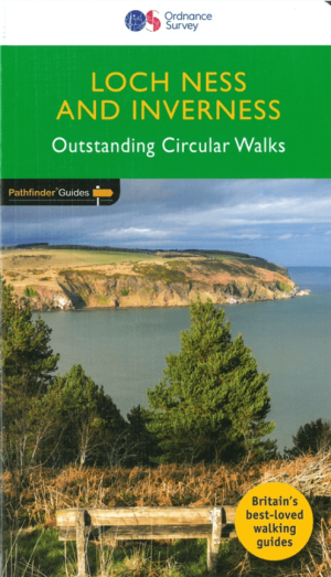
Wandelgids 030 Pathfinder guides Loch Ness & Iverness - OS • 9780319090817
Wandelgids Loch Ness & Iverness Schotland - OS Productomschrijving: The area covered by this guide centres on the Highland 'capital' of Inverness, and extends north and east along the shores of the Moray Firth, and south and west to Fort Augustus and Glen Affric, encompassing Caithness, eastern Sutherland, Easter Ross, the Black Isle, Moray and the banks of Loch Ness. With coastal wal…
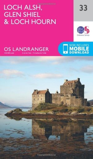
Wandelkaart 33 Loch Alsh- Glen Shiel & Loch Hourn - OSI • 9780319261316
Wandelkaart Loch Alsh- Glen Shiel & Loch Hourn - Schotland Productbeschrijving: OS Landranger kaart 33 toont de noordoostelijke kust van Schotland aan, de gebieden rond Glen Shiel en Glenkingie, evenals Loch Duich, Hourn Loch, Loch Alsh, Loch Nevis en Loch Quoich. Als u op zoek bent een plek om er vanuit te geraken, zou dit wel eens de plaats kunnen zijn. De OS Landranger kaarten reek…
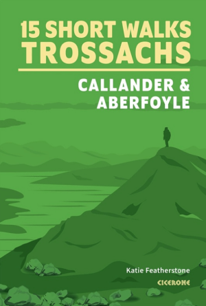
Wandelgids Trossachs NP, Callander and Aberfoyle - Cicerone • 9781786312341
Wandelgids Trossachs NP Schotland, Callander and Aberfoyle Productomschrijving: Would you like to explore the best of Callander, Aberfoyle and the Trossachs National park? This guidebook covers 15 of the best short walks in the area (between 3 and 14km), including Bracklinn Falls, Callander Crags, Loch Katrine, Ben A'an, Primrose Hill and Fairy Knowe. Why choose this guidebook? - …
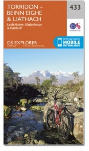

Wandelkaart 433 Torridon Highland's Schotland - OSI • 9780319472859
Wandelkaart Torridon - Highland's Schotland Omvat ook: Loch Maree, Kinlochewe & Gairloch. Productbeschrijving: OS Explorer kaart 433 van Gairloch tot Torridon vertegenwoordigen enkele van de meest dramatische landschappen in het Verenigd Koninkrijk. Met een paar ernstige bergen (en 9 Munro's) is er genoeg voor de avontuurlijken onder ons, hoewel de kustvisserij dorpen een minder energi…
Wandelkaart 27 Nairn & Forres- Highland's Schotland - OSI • 9780319473504
Wandelkaart Nairn & Forres - Highland's Schotland Productbeschrijving: OS Landranger kaart 27 toont Moray Firth, net ten oosten van Inverness. De kust stad van Nairn is een populaire vakantiebestemming, of neem de Moray Coastal Trail langs Forres aan Findhorn. De OS Landranger kaarten reeks heeft betrekking op Groot-Brittannië met 204 gedetailleerde kaarten, perfect voor dagtochten en kort…