

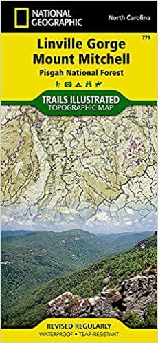
Wandelkaart 779 Linville Gorge & Mt. Mitchell - Nat Geo
Het derde grootste wildernis regio in North Carolina
Korte omschrijving
Wandelkaarten North Carolina, USA van National Geographic. Ideaal voor tochten in Verenigde Staten van Amerika (USA).
TOPO Wandelkaart 779 - Linville Gorge & Mt. Mitchell - National Geographic Productomschrijving: De Linville Gorge Wilderness ("Grand Canyon of North Carolina") is het derde grootste wilderni...

Specificaties
- Uitgever: National Geographic
- ISBN-13: 9781566954228
- HOOFDCATEGORIEËN: Wandelkaart
- Auteur: National Geographic
- Regio: North Carolina, USA
- Land: Verenigde Staten van Amerika (USA)
- TOPO's & Stafkaarten: Topografisch wandelen
- Schaal: 1:65000
- Taal: Engels
Volledige omschrijving
TOPO Wandelkaart 779 - Linville Gorge & Mt. Mitchell - National Geographic
Productomschrijving: De Linville Gorge Wilderness ("Grand Canyon of North Carolina") is het derde grootste wildernis regio in North Carolina.
Engekse omschrijving: Expertly researched and created in partnership with local land management agencies, National Geographic's Trails Illustrated map of Linville Gorge and Mount Mitchell provides an unparalleled tool for exploring these remarkable features within Pisgah National Forest. This map includes such key areas of interest as Linville Gorge Wilderness, Mount Mitchell State Park, Craggy Gardens, Grandfather Mountain Biosphere Reserve, Lake James State Park, and Brown Mountain OHV Area.
Whether you're exploring on foot, or by horse, bike, or motorized vehicle, you'll find this map an invaluable resource for exploring the miles of mapped trails and roadways within the region, including the Appalachian National Scenic Trail, Mountains-to-Sea Trail, and Blue Ridge Parkway. An extensive chart with the location, mileage, rating, and designated use for dozens of trails and a handy activity guide will help you make the most of your visit. Recreation features are clearly marked, including campgrounds, points of interest, lookout towers, museums, and fishing and swimming areas. The map base includes contour lines and elevations for summits and passes. Every Trails Illustrated map is printed on "Backcountry Tough" waterproof, tear-resistant paper. A full UTM grid is printed on the map to aid with GPS navigation.
Other features found on this map include: Big Tom, Blue Ridge, Grandfather Mountain, Hawksbill Mountain, Iowa Hill, Lake James, Linville Gorge Wilderness, Morganton, Mount Craig, Mount Mitchell, Pisgah National Forest, South Mountains.
Locatie op kaart
Overzichtskaarten

NAT GEO Tennessee
NAT GEO Tennessee

Producten op de overzichtskaart
Klik op een product om naar de detailpagina te gaan.
Artikelen uit dezelfde regio

Reisgids Great Smokey Mountains - Lonely Planet • 9781838697921
The Great Smokey Mountains - Lonely Planet. Productomschrijving: Ga terug naar de natuur tussen in mist gehulde bergtoppen, glinsterende watervallen en weelderige bossen in de grote Amerikaanse wildernis. Lonely Planet brengt je naar het hart van Great Smoky Mountains National Park, met geweldige reiservaringen en het beste planningsadvies. Lonely Planet's Great Smoky Mountains Nationa…
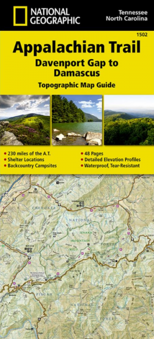
Wandelkaart 1502 Appalachian Trail - Deel 2 - NatGeo • 9781597756396
Wandelkaart 1502 > Appalachian Trail deel 4 > Davenport Gap-Damascus (9781597756396) Nat Geo Productomschrijving: Deze trail is een wonderbaarlijke route die van Main tot in Atlanta loopt, en ettelijke duizenden Km lang is. De route loopt door de mooiste delen van Oost USA, meerbepaald Virginia e.d. De route wordt jaarlijke door duizenden liefhebbers afgelopen, maar aangezien de route dusd…
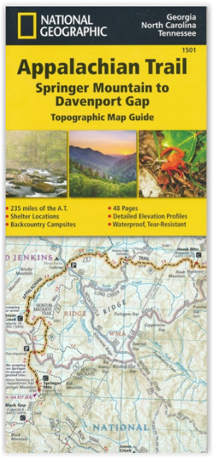
Wandelkaart 1501 Appalachian Trail - Deel 1 - Natgeo • 9781597756389
TOPO Wandelkaart 1501 - Springer Mt to Davenport Gap - Natgeo Productomschrijving: Deel 1 - 3500 km wonderbaarlijke route van Main tot in Atlan. Deze kaart omvat het eerste deel van 13 van Springer mountain tot aan Davenport Gap. Omvat de regio's Georgia, North Carolina & Tennessee. Engelse omschrijving: The Springer Mountain to Davenport Gap Topographic Map Guide makes a perfect trav…
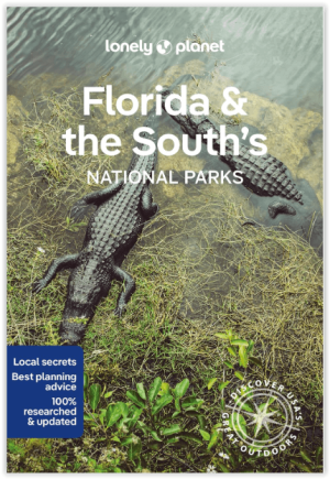
Wandelgids Florida & the South National Parks - Lonely Planet • 9781838696092
Florida & the South National Parks - Lonely Planet Productomschrijving: Lonely Planet's Florida and the South's National Parks is uw paspoort voor het meest relevante, up-to-date advies over wat je moet zien en overslaan. Kampeer in Congaree, peddel door de Everglades en beklim de Great Smoky Mountains, allemaal met je vertrouwde reisgenoot. Duik in het hart van Florida en de nationale par…

Landkaart Wegenkaart North Carolina State Guide Maps- Nat Geo • 9781566957762
Wegenkaart North Carolina State Guide Maps - Nat Geo Productomschrijving: National Geographic's North Carolina Guide Map is designed to meet the needs of travelers with detailed and accurate cartography and loads of helpful information about the state's many attractions. Hundreds of points of interest are shown, along with national and state parks, public campsites, visitor information cen…