

Wandelkaartv OL14 Wye Valley, Forest of Dean & Dyfryn Gwy - OS
Parts of Offa's Dyke Path on the border of England & Wales


Korte omschrijving
Wandelkaarten Gloucestershire, Egland en Herefordshire, England van Ordnance Survey. Ideaal voor tochten in England.
Wandelkaartv Wye Valley, Forest of Dean & Dyfryn Gwy - OS Productomschrijving: Parts of Offa's Dyke Path, on the border of England & Wales. Omvat: Wye Valley, Forest of Dean & Dyfryn Gwy...

Specificaties
- Uitgever: Ordnance Survey
- ISBN-13: 9780319263839
- HOOFDCATEGORIEËN: Wandelkaart
- Activiteiten: Wandelen, Hiking & Trekking
- Auteur: Ordnance Survey
- Regio: Gloucestershire, Egland, Herefordshire, England
- Land: England
- Historische wandelroutes: Offa's Dyke Path (283 km)
- Lange afstand wandelroutes: Offa's Dyke Path (285 km)
- TOPO's & Stafkaarten: Topografisch wandelen
- AONB - Area of Outstanding Beauty: Wye Valley, AONB
- Schaal: 1:25000
- Taal: Engels
- Reeks/Serie: Explorer Series OS
Volledige omschrijving
Wandelkaartv Wye Valley, Forest of Dean & Dyfryn Gwy - OS
Productomschrijving: Parts of Offa's Dyke Path, on the border of England & Wales.
Omvat: Wye Valley, Forest of Dean & Dyfryn Gwy, Wye Valley AONB, Daffodil Way, Gloucestershire Way, Herefordshire Way, Jubilee Way, Offa's Dyke Path, Severn Way, Thames & Severn Way, Three Coastal Walk, Wales Coast Path, Wye Valley Walk & Wysis Way.
Ontdek de OL-serie van Ordnance Survey:
De OL-serie (Outdoor Leisure) van Ordnance Survey is dé referentie voor wie gaat wandelen op de Britse eilanden. Deze topografische kaarten maken deel uit van de Explorer-reeks en bieden ongeëvenaarde nauwkeurigheid en detail op een schaal van 1:25.000. Perfect voor wandelaars, hikers en outdoorliefhebbers.
Waarom kiezen voor de OL Explorer-kaarten?
Gedetailleerde topografie: Elk hekje, pad, beekje en hoogteverschil staat erop.
Ingetekende National Trails: Bekende wandelroutes zoals de South West Coast Path, Hadrian’s Wall Path en Pennine Way zijn duidelijk gemarkeerd.
Betrouwbaarheid: Ordnance Survey is al decennialang de standaard voor kaarten in het VK.
Weerbestendige versies beschikbaar – ideaal voor gebruik in weer en wind.
De beste keuze voor wandelaars
Vergeet generieke wandelkaarten. Met de OL-serie krijg je precieze, actuele informatie, zodat je zonder zorgen op pad kunt.
KOOP NU UW TOPOGRAFISCHE WANDELKAART
Bekijk ons aanbod en kies de OL-kaart die past bij jouw volgende wandelroute. Wandel slim, wandel met Ordnance Survey. wandelroute. Wandel slim, wandel met Ordnance Survey.

Artikelen uit dezelfde regio

Wandelkaart XT Malvern Hills AONB England - Harvey map • 9781851376056
Wandelkaart - Malvern Hills AONB England - Harvey map Productomschrijving: Deze Mavern Hills zijn een samenstelling van heuvels in de Engelse counties, Worcestershire, Herefordshire, en een klein deel van Gloucestershire, en domineren de volledige regio rond deze counties van het district van Alvern Hills. Het hoogst gelegen punt van deze regio biedt een panorama van de Severn vallei met d…
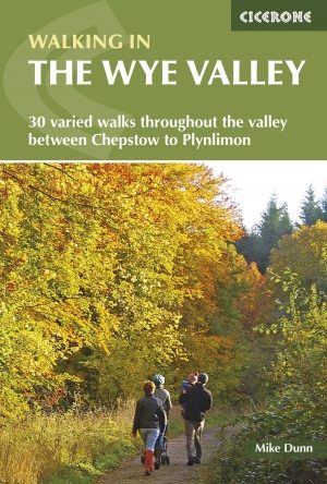
Wandelgids Walking in the Wye Valley - Cicerone • 9781852847241
Wandelgids - Walking in the Wye Valley - Cicerone Productomschrijving: Een gids met 30 gevarieerde wandelingen van 3 tot 10 mijl, in de vallei van de Wye, en de mooiste rivier in Engeland en Wales, tussen Chepstow in het zuiden en Plynlimon. Het landschap varieert van open heidevelden naar beboste kloven en is bezaaid met de sites van de IJzertijd met heuvelforten en kastelen. Centra omvat…
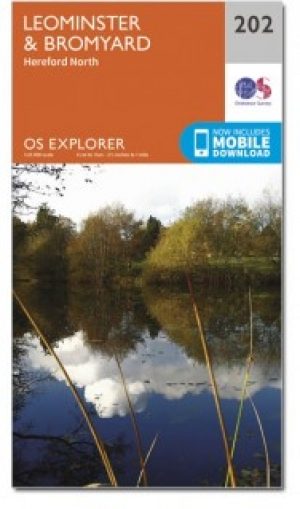
Wandelkaart 202 Leominster & Bromyard- Herefordshire - OSI • 9780319470749
Wandelkaart Leominster & Bromyard - Herefordshire England Omvat ook: Hereford North. Productbeschrijving: Kaart nummer 202 dekt Leominster, Bromyard en Hereford. Hoogtepunten zijn de Trail Herefordshire, Bromyard Downs, Three Choirs Way en de Wye Valley Walk. Omvat ook Burghill en Bodenham. De OS Explorer kaart voor Leominster & Bromyard is beschikbaar in zowel de standaard papieren ve…
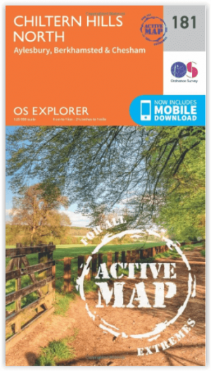
Wandelkaart 181 - Chiltern Hills AONB North- England - OSI • 9780319470534
Wandelkaart Chiltern Hills AONB North - Oxfordshire Omvat ook: Aylesbury, Berkhamsted & Chesham. Productbeschrijving: Kaart nummer 181 in de OS Explorer reeks omvat Aylesbury, Wendover, Berkhamstead, Chesham, Princes Risborough en Tring. Hoogtepunten van het gebied zijn The Chiltern Hills, rivier Thame, The Chilterns AONB, Aylesbury Ring, de Ridgeway en de Chiltern way. De OS Explorer …

Wandelkaart 168 Stroud- Tetbury & Malmesbury - OSI • 9780319243619
Wandelkaart Stroud- Tetbury & Malmesbury - Gloucestershire Omvat ook: De Cotswolds AONB- the Cotswold Way & The Monarch Way Productbeschrijving: Kaart nummer 168 in de OS Explorer kaarten reeks omvat Stroud, Tetbury, Malmesbury en Nailsworth. Hoogtepunten van het gebied zijn onder andere: de Cotswolds AONB, Cotswold Way, Monarch Way en the Thames Path. De OS Explorer kaart voor Stroud,…