
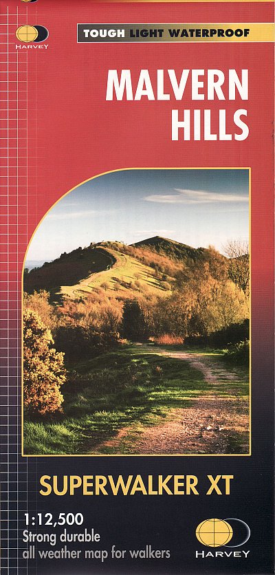
Wandelkaart XT Malvern Hills AONB England - Harvey map
Mavern Hills AONB in Worcestershire & Herefordshire
Korte omschrijving
Wandelkaart - Malvern Hills AONB England - Harvey map Productomschrijving: Deze Mavern Hills zijn een samenstelling van heuvels in de Engelse counties, Worcestershire, Herefordshire, en een ...

Specificaties
- Uitgever: HARVEY MAPS
- ISBN-13: 9781851376056
- HOOFDCATEGORIEËN: Wandelkaart
- Activiteiten: Wandelen, Hiking & Trekking
- Regio: Gloucestershire, Egland, Herefordshire, England, West Midlands, Worcestershire, West England
- Land: England
- AONB - Area of Outstanding Beauty: Malvern Hills AONB
- Schaal: 1:12500
- Afmeting: 14x25
- Taal: Engels
- Reeks: Harvey, XT Superwalker maps
Volledige omschrijving
Wandelkaart - Malvern Hills AONB England - Harvey map
Productomschrijving: Deze Mavern Hills zijn een samenstelling van heuvels in de Engelse counties, Worcestershire, Herefordshire, en een klein deel van Gloucestershire, en domineren de volledige regio rond deze counties van het district van Alvern Hills. Het hoogst gelegen punt van deze regio biedt een panorama van de Severn vallei met de heuvels van Herefordshire, en de bergen van Wales, een deel van de 13 counties, de Bristol Channel, en de kathedralen van Worcester, Gloucester en Hereford.
Kortom, een kaart die de wandelaar heel veel voorschotelt voor wat dergelijke wandelkaart maar kost.
Engelse omschrijving: The Malvern Hills are a range of hills in the English counties of Worcestershire, Herefordshire and a small area of northern Gloucestershire, dominating the surrounding countryside and the towns and villages of the district of Malvern. The highest summit of the hills affords a panorama of the Severn valley with the hills of Herefordshire and the Welsh mountains, parts of thirteen counties, the Bristol Channel, and the cathedrals of Worcester, Gloucester and Hereford.
Locatie op kaart
Overzichtskaarten

Harvey Maps - Mountain XT30 & XT25 Maps
Harvey Maps - Mountain XT30 & XT25 Maps

Producten op de overzichtskaart
Klik op een product om naar de detailpagina te gaan.
- Wandelkaart XT30 Macgillycuddy’s Range - Harvey Maps
- Wandelkaart XT25 Arran & Arran Coastal Way - Harvey maps
- Wandelkaart XT25 Arrochar Alps - Harvey maps
- Wandelkaart XT25 Ben Alder Highlands Schotland - Harvey Maps
- Wandelkaart XT25 Ben Nevis - Mamores - Harvey maps
- Wandelkaart XT25 Brecon Beacons NP - West - Harvey maps
- Wandelkaart XT25 Cairn Gorms & Ben Avon - Harvey maps
- Wandelkaart XT25 Cheviot Hills - Harvey Maps
- Wandelkaart XT25 Crieff & Comrie - Harvey Maps
- Wandelkaart XT25 Noord Dartmoor NP Devon - Harvey Maps
- Wandelkaart XT25 Dartmoor Zuid Devon England - Harvey Maps
- Wandelkaart XT25 Fannichs Seana Bhraigh - Harvey Maps
- Wandelkaart XT25 Galloway Hills Schotland - Harvey Maps
- Wandelkaart XT25 Glen Coe- Glen Etive & Black Mount
- Wandelkaart XT30 Isle of Man Channel Islands - Harvey Maps
- Wandelkaart XT25 Jura - Inner Hybrids - Harvey Maps
- Wandelkaart XT25 Lake District Noord - Harvey map
- Wandelkaart XT25 Lake District West - Harvey maps
- Wandelkaart XT25 Lake District Zuid Oost - Harvey maps
- Wandelkaart XT25 Loch Lomond & The Trossachs - Harvey maps
- Wandelkaart XT Malvern Hills AONB England - Harvey map
- Wandelkaart XT Mull- Iona & Ulva - Harvey Maps
- Wandelkaart XT Suilven Highlands Schotlands - Harvey
- Wandelkaart XT25 Mourne Mountains N. Ireland - Harvey maps
- Wandelkaart XT25 Ochil Hills Schotland - Harvey maps
- Wandelkaart XT25 Peak District Central - Harvey Maps
- Wandelkaart XT25 Peak District Noord - Harvey maps
- Wandelkaart XT25 Peak District Zuid - Harvey maps
- Wandelkaart en MTB kaart XT25 Pentland Hills - Harvey maps
- Wandelkaart XT25 Pentland Hills Schotland - Harvey Maps
- Wandelkaart XT25 Rum- Eigg- Canna & Muck - Harvey maps
- Wandelkaart XT25 Skye The Cuillin - Harvey maps
- Wandelkaart XT25 Skye Trotternish - South-West Storr - Harvey maps
- Wandelkaart XT25 Snowdonia Central - Harvey Maps
- Wandelkaart XT25 Snowdonia North - Harvey maps
- Wandelkaart XT25 Snowdonia South - Harvey Maps
- Wandelkaart XT25 Torridon Schotland - Harvey maps
- Wandelkaart XT25 Trossachs NP North - Harvey Maps
- Wandelkaart XT30 Wicklow Mountains - Harvey Maps
- Wandelkaart XT25 Yorkshire Dales NP Noord-Oost - Harvey maps
- Wandelkaart XT25 Yorkshire Dales Noord-West - Harvey maps
- Wandelkaart XT25 Yorkshire Dales Zuid-Oost - Harvey maps
- Wandelkaart XT25 Yorkshire Dales Zuid-West - Harvey Maps
- Wandelkaart XT30 Dingle Peninsula - Dingle Way - Harvey Maps
- Wandelkaart XT25 Foinaven- Ben Hope & Ben Klibreck - Harvey maps
Artikelen uit dezelfde regio

Wandelkaart 190 Malvern Hills AONB & Bredon Hill - OSI • 9780319470626
Wandelkaart Malvern Hills AONB & Bredon Hill AONB England Omvat ook: Tewkesbury, Ledbury, Pershore & Upton upon Severn. Productbeschrijving: Kaart nummer 190 in de OS Explorer kaarten reeks heeft betrekking op twee gebieden van uitzonderlijke natuurlijke schoonheid; de Cotswolds AONB en het bestuurlijke gebied Malvern Hills AONB en de nederzettingen van de Great Malvern, Upton op Sever…
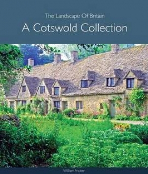
Fotoboek Cotswold - The landscape of Britain - Goldeneye • 9781859652312
Fotoboek Cotswold Collection - The landscape of Britain Productomschrijving: Dit prachtig geproduceerde boek van fotografie vangt de essentie van de Cotswolds op, van de huiselijke dorpen, de kerken en de landhuizen, naar de betoverende wildernis van de zachte riviervalleien en glooiende heuvels - een vertrouwd landschap gevangen op een unieke en opvallende manier. De foto's werden sa…

Wandelkaart 169 Cirencester & Swindon - England - OSI • 9780319243626
Wandelkaart Cirencester & Swindon - England - OSI Omvat : Fairford & Cricklade. Productbeschrijving: 169 / Cirencester & Swindon, Glousctershire, England - Kaart nummer 169 in de OS Explorer reeks heeft betrekking op een gebied van Cirencester en Fairford met een gedeelte van de Cotswolds AONB in het noorden, tot de North Wessex Downs AONB in het zuiden. Nationale routes van Thames…

Wandelkaart 221 Coventry & Warwick- West Midlands - OSI • 9780319470930
Wandelkaart Coventry & Warwick - West Midlands England Productbeschrijving: OS Explorer kaart 221 omvat Coventry, Warwick, Royal Leamington Spa en de omliggende gebieden. Ontdek Warwick Castle, en zet vervolgens uw avontuur door langs de rivier de Avon, of bezoek het Fort Lunt Roamn in de buurt van Coventry. De OS Explorer kaart voor Coventry & Warwick is beschikbaar in zowel de standaard …

Wandelkaart 204 Worcester & Droitwich Spa - OSI • 9780319243978
Wandelkaart Worcester & Droitwich Spa - Worcestershire Productbeschrijving: In de buurt van de kruispunten van de rivier Teme en de rivier de Severn, de stad van Worcester en de omliggende steden, vallen onder OS Explorer kaart 204. Dit gebied heeft nederzettingen die dateren uit het Neolithicum, dit gebied huist deel van de Malven Hills, plus een aantal kleinere groene ruimtes om te ontde…