

Reisgids Bath- Bristol & Somerset - Rough Guides
De uitlopers van Exmoor nationaal park, Bath, Bristol


Korte omschrijving
Reisgidsen South West England en Somerset South West England van Rough Guides. Ideaal voor tochten in England.
Bath- Bristol & Somerset - Rough Guides Productomschrijving: De regio van somerset in Zuid west Engeland, biedt u in deze gids de uitlopers van Exmoor nationaal park, Bath, Bristol en de vol...

Specificaties
- Uitgever: Rough Guides
- ISBN-13: 9781839059841
- HOOFDCATEGORIEËN: Reisgids
- Activiteiten: Toerisme
- Auteur: Keith Drew, Robert Andrews
- Regio: Somerset South West England, South West England
- Land: England
- Editie: 4
- Taal: Engels
- Reeks/Serie: Rough Guides Mini
- De Engelse Graafschappen: Somerset
Volledige omschrijving
Bath- Bristol & Somerset - Rough Guides
Productomschrijving: De regio van somerset in Zuid west Engeland, biedt u in deze gids de uitlopers van Exmoor nationaal park, Bath, Bristol en de volledige regio Somerset.
Engelse omschrijving: From the genteel Georgian terraces of Bath to the wilderness expanses of Exmoor NP, the fully updated The Rough Guide to Bath, Bristol & Somerset provides an all-round account of this richly rewarding region, with comprehensive details of what to see, what to do and where to sleep, eat and drink. Useful context and background information accompany all the practicalities, interspersed with vivid, full-colour photos and some of the clearest maps to be found in any guidebook.
Rough Guides’ local experts cover high culture and street art, from the architectural glory of Wells Cathedral to Bristol’s exuberant murals, as well as all the options for getting active, including cycling on the Somerset Levels and hiking in the Quantock Hills. Alongside information on the best local festivals, there are full reviews of the worthiest restaurants and the most characterful pubs. Beyond the borders of Somerset but within easy reach, The Rough Guide to Bath, Bristol & Somerset also takes in such hotspot destinations as Salisbury and Stonehenge, as well as the full-on family attraction of Longleat.
Locatie op kaart
Artikelen uit dezelfde regio
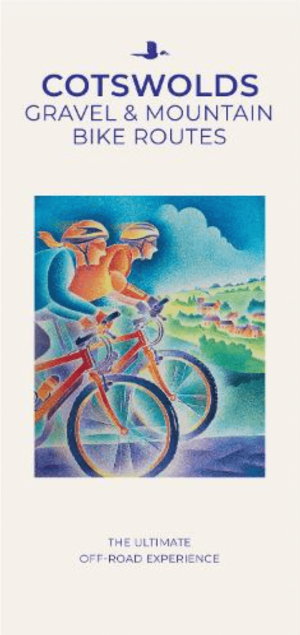
Moutainbike Cotswold Gravel & Mountain AONB - Goldeneye • 9781859653135
Moutainbike map Cotswold - Goldeneye Productomschrijving: Cotswold Gravel & Mountain Bike Routes: The Ultimate Off-Road Experience - Gravel & Mountain Bike Routes 18 (Paperback) When mountainbiking in the Cotswolds, in an Area of Outstanding Natural Beauty of AONB area, a lot of sportsfanatics & MTB fanatics are very interested, and cannot go wrong with this new Goldeneye mountainbiki…

Wandelkaart OL15 Purbeck & South Dorset - OS • 9780319242544
Wandelkaart Purbeck & South Dorset - OS Productomschrijving: Parts of the South West Coast Path SWCP, Dorset Area of Outstanding Natural Beauty. Omvat: Purbeck, South Dorset, Poole, Dorchester, Weymouth & Swanage, Castleman Trailway, E9 European Coastal parth, England Coast Path, Hardy Way, Jubilee Trail, Macmillan Way, Monarch's Way, Poole Harbour Trail, Portland Coast Path, Purbeck …

Fietsgids South West England Gravel Rides - Vertebrate Publ. • 9781839812545
South West England Gravel Rides - Vertebrate Publ. Productomschrijving: 24 gravel bike adventures in the West Country Gravel Rides South West England features 24 cycling routes, ranging from 16 to 180 kilometres, showcasing the extensive gravel trails of the West Country. Gravel enthusiast and experienced route creator Katherine Moore has taken her love of the South West and extensive …
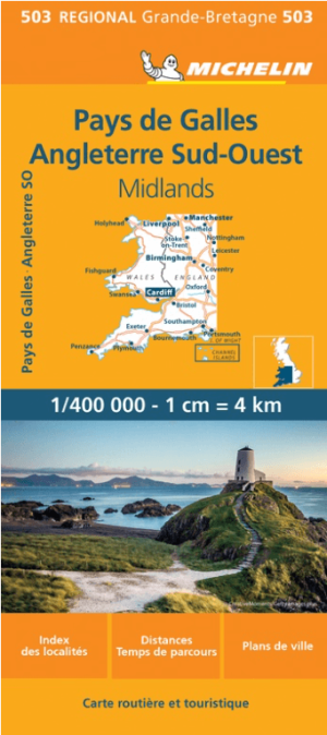
Landkaart Wegenkaart 503 Wales, Midlands & Engeland ZW - Michelin • 9782067183285
Regionale Wegenkaart Wales, Midlands & Engeland ZW - Michelin Productomschrijving: De volledig bijgewerkte MICHELIN kaart van Engeland Zuidwest Wales biedt u alle weg- en toeristische informatie die u nodig heeft om het meeste uit uw reis te halen: een INDEX VAN LOCATIES en een TABEL VAN AFSTANDEN en REISTIJDEN. De schaal van 1:400.000, d.w.z. 1 cm = 4 km, maakt het gemakkelijk om zowel d…

Wandelkaart 153 Weston-super-Mare & Bleadon Hill - OSI • 9780319243466
Wandelkaart Weston-super-Mare & Bleadon - North Somerset Omvat ook: Burnham-on-Sea & Clevedon Productbeschrijving: Kaart nummer 153 omvat Weston-super-Mare, Clevedon en Burnham-on-Sea. Hoogtepunten zijn Mendip Hills, Bleadon Hill, Gordano Round en River Parrett Trail. Omvat ook Highbridge en de rivieren Yeo, Axe en Brue. De OS Explorer kaart voor Weston-super-Mare & Bleadon Hill is bes…