

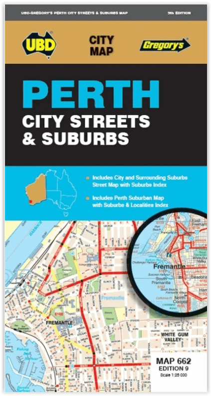
Stadsplattegrond 662 Perth City Streets & Suburbs - UBD GRegory's
Westminster- Coolbellup- Maylands- Trigg- Fremantle- Bullsbrook
Korte omschrijving
Stadskaart Perth City Streets & Suburbs - UBD GRegory's Productomschrijving: The latest edition of the Perth City Streets and Suburbs city map has been fully revised and updated and includes...

Specificaties
- Uitgever: UBD Gregory's Universal Publishers
- ISBN-13: 9780731933433
- HOOFDCATEGORIEËN: Stadskaart plattegrond
- Activiteiten: Street/Road maps & city plans
- Regio: Perth, West Australië
- Land: Australië
- Schaal: 1:25000
- Editie: 9
- Taal: Engels
- De Australische Regio's: Western Australia
Volledige omschrijving
Stadskaart Perth City Streets & Suburbs - UBD GRegory's
Productomschrijving: The latest edition of the Perth City Streets and Suburbs city map has been fully revised and updated and includes detailed street level mapping of Perth and surrounding suburbs at a scale of 1: 25 000 with coverage from Westminster in the north, Coolbellup in the south, Maylands in the east and along the coast from Trigg in the north to Fremantle in the south.
There is also Perth suburban coverage at a scale of 1: 100 00 with coverage from Bullsbrook in the north, North Dandalup in the south, The Lakes in the east and along the coast from Quinns Rocks in the north to Mandurah in the south with insets for the towns of Pinjarra and Yanchep.
- With all this information contained in one convenient fold out map it is an essential tool when travelling in and around the Perth region.
Locatie op kaart
Artikelen uit dezelfde regio

Kampinggids Perth & The South West 4WD + Camping escapes - Hema • 9781865006215
Wegenatlas Kampinggids Perth & The South West Productomschrijving: 4WD + Camping Escapes – Perth & the South West is a guide to the best four-wheel driving and camping locations in South West Western Australia. Each regional section outlines the area’s 4WD Tracks and Featured Camping Areas, with a Camping Directory at the end to provide comprehensive coverage of other camping areas. T…
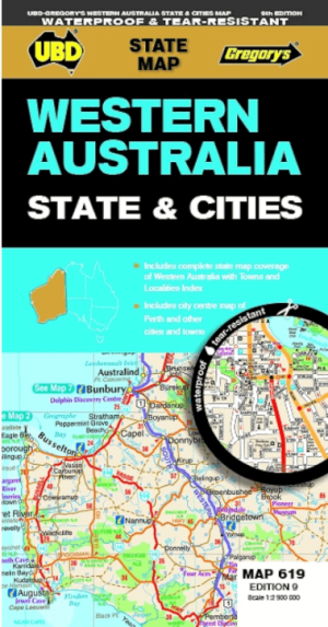

Landkaart Wegenkaart 619 Western Australia State & Cities - UBD • 9780731933198
Wegenkaart Western Australia State & Cities - Gregory's Productomschrijving: The latest edition of the Western Australia State and Cities map has been fully revised and updated. It includes a comprehensive state map with an index to the towns and localities at a scale of 1: 2.900.000 plus more detailed coverage of South West Western Australia at a scale of 1 : 1.870.000 on one side. …
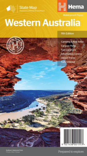
Landkaart Wegenkaart West-Australië state map - Hema Maps • 9321438001553
Wegenkaart West-Australië state map - Hema Productomschrijving: A map of Western Australia (WA) for touring throughout the state that has camping and rest areas, 24-hour fuel and points of interest marked on the mapping. On the reverse are CBD and through road maps of Perth in addition to inset maps of Leeuwin-Naturaliste National Park, Cape Range National Park, Nambung National Park, …

Stadsplattegrond 661Perth Pocket map - UBD Gregory's • 9780731932696
Stadskaart Perth Pocket map - UBD Gregory's Productomschrijving: A Perth city map in handy pocket size. Includes: Suburban coverage north to Yanchep and Bullsbrook, south to Rockingham and Mt Barker Suburbs and localities index Suburban Highlights 1 : 5000 coverage of CBD 1 : 10 000 coverage of Fremantle Index to CBD buildings Perth Airport map

Reisgids Australië - een reis door Zuid en West - Edicola • 9789492920997
Reisgids Australië - een reis door Zuid en West - Edicola Productomschrijving: Na het succes van Australië - Een rondreis door het zuiden van Lisanna Weston heeft zij nu samen met Sanne de Groot een tweede reisgids geschreven: Een reis door Zuid- en West. Lisanna Weston, succesvol reisorganisatie-onderneemster in Australië en Sanne de Groot, onderdeel van Dutchies Travel en veelvoudig Aust…