

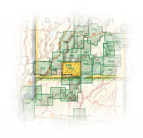
Wandelkaart 714 Grand Staircase - Natgeo
Een gebied van 7571 km² in het zuiden van Utah in de USA

Korte omschrijving
Wandelkaarten Utah, USA van National Geographic. Ideaal voor tochten in Verenigde Staten van Amerika (USA).
TOPO Wandelkaart 714 - Grand Staircase - Utah - Nat Geo Productomschrijving: Grand Staircase-Escalante National Monument is een gebied van 7571 km² in het zuiden van Utah in de Verenigde Sta...

Specificaties
- Uitgever: National Geographic
- ISBN-13: 9781566956864
- HOOFDCATEGORIEËN: Wandelkaart
- Auteur: National Geographic
- Regio: Utah, USA
- Land: Verenigde Staten van Amerika (USA)
- TOPO's & Stafkaarten: Topografisch wandelen
- Schaal: 1:75000
- Taal: Engels
Volledige omschrijving
TOPO Wandelkaart 714 - Grand Staircase - Utah - Nat Geo
Productomschrijving: Grand Staircase-Escalante National Monument is een gebied van 7571 km² in het zuiden van Utah in de Verenigde Staten. Er zijn drie belangrijke gebieden: de Grand Staircase, het Kaiparowits Plateau, en de Canyons van de Escalante.
Engelse omschrijving: Outdoor enthusiasts seeking to enjoy the abundance of public lands and endless recreational opportunities in southern Utah will marvel at National Geographic's Trails Illustrated map of Grand Staircase and Paunsaugunt Plateau. Created in cooperation with the Bureau of Land Management, U.S. Forest Service, National Park Service and others, this expertly researched map provides unmatched detail between Utah towns Hatch in the northwest to Big Water in the southeast.
Coverage includes popular recreation areas Dixie National Forest, Bryce Canyon National Park, Grand Staircase-Escalante National Monument, Kodachrome Basin State Park and Wilderness Study areas The Blues, Carcass Canyon, Death Ridge, Mud Spring Canyon, Paria-Hackberry, Burning Hills, The Cockscomb and Wahweap.
Get off the beaten path and back on again by following along designated hiking, horseback riding, biking and motorized trails, shown with mileage markers between intersections, including the Great Western Trail and Paunsaugunt ATV Trail. Also mapped is a complete road network, including Forest Service, BLM and high-clearance roads as well as state and national scenic byways. Your navigation will be aided by the map's contour lines, elevations, labeled peaks and summits, water features, areas of wooded cover and color-coded boundaries between different land management agencies.
Some pinpointed recreation features are campgrounds, primitive campsites, backcountry cabins, RV dump stations, interpretive trails, boat ramps, picnic areas and scenic viewpoints. In addition, find background information about the area, survival tips, a point of interest guide and a QR code for current weather information.Every Trails Illustrated map is printed on "Backcountry Tough" waterproof, tear-resistant paper. A full UTM grid is printed on the map to aid with GPS navigation.
Other features found on this map include: Black Butte, Bryce Canyon National Park, Dixie National Forest, Kaiparowits Plateau, Paunsaugunt Plateau, Pink Cliffs, The Cockscomb, White Cliffs.
Locatie op kaart
Artikelen uit dezelfde regio

Wandelkaart 702 Cedar Mountain - Utah USA - Nat Geo • 9781566953061
Wandelkaart Cedar Mountain - Utah USA - Nat Geo Omvat: Ashdown Gorge Wilderness, Brian Head, Dixie National Forest, Kolob Terrace, Little Salt Lake, Markagunt Plateau, Panguitch Lake, Parowan Valley, Pine Valley Mountain Wilderness, Pine Valley Mountains, Signal Peak. Engelse omschrijving: Cedar City is the headquarters of the Dixie National Forest which is a two-million-acre, 170-mile…

Wandelkaart 267 Capitol Reef NP Utah - Natgeo • 9781566956703
Wandelkaart Capitol Reef NP Utah - Nat Geo Productomschrijving: Capitol Reef National Park is een verborgen juweel gelegen in de Waterpocket Fold, een rimpel in de aarde die zich uitstrekt bijna 100 mijl door het zuiden-centrale rode rots land van Utah. National Geographic's Trails Illustrated kaart van Capitol Reef biedt ongeëvenaarde details van het park om tegemoet te komen aan de behoe…
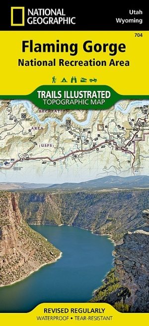
Wandelkaart 704 Flaming Gorge- Recreational Area - Utah • 9781566954143
TOPO Wandelkaart 704 - Flaming Gorge- Recreational Area - Nat Geo Productomschrijving: Het Flaming Gorge National Recreation Area is een gebied rond het Flaming Gorge Reservoir en de Green River. Het ligt voor het grootste deel in het zuidwesten van de staat Wyoming en voor het overige deel in het noordoosten van de staat Utah van de Verenigde Staten. Deze National Recreation Area ligt ten…
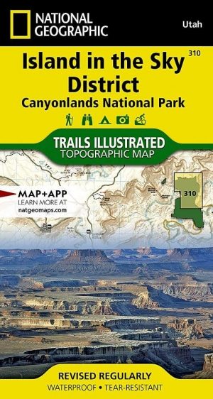
Wandelkaart 310 Canyonlands NP - Island in the Sky District • 9781566954600
TOPO Wandelkaart 310 -Canyonlands NP - Island in the Sky District Productomschrijving: Canyonlands National Park is een Amerikaans nationaal park gelegen in het Zuidoosten van Utah, dichtbij de stad Moab. Het park omvat een kleurrijk landschap, geerodeerd in verschillende canyons door het water van de Colorado River. Het park is verdeeld in 4 districten: the Island in the Sky District, the…
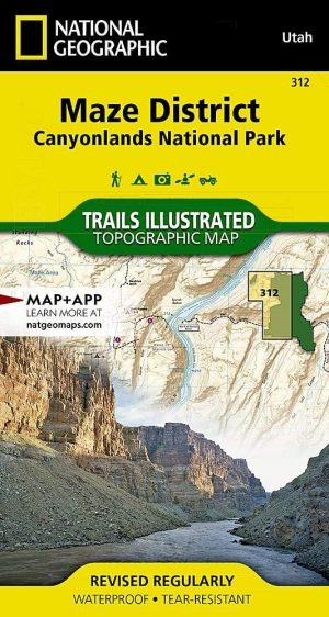
Wandelkaart 312 Canyonlands NP - Maze District - Natgeo • 9781566954624
Topografische Wandelkaart 312 - Canyonlands NP - Natgeo Productomschrijving: Canyonlands National Park is een Amerikaans nationaal park gelegen in het Zuidoosten van Utah, dichtbij de stad Moab. Het park omvat een kleurrijk landschap, geerodeerd in verschillende canyons door het water van de Colorado River. Het park is verdeeld in 4 districten: the Island in the Sky District, the Needles …