

Wandelkaart 211 Arches National Park- Utah - Natgeo
Het Arches National Park is een iets kleiner exemplaar


Korte omschrijving
Wandelkaarten Utah, USA van National Geographic. Ideaal voor tochten in Verenigde Staten van Amerika (USA).
TOPO Wandelkaart 211 - Trails Illustrated Arches NP - Utah Productomschrijving: Het Arches National Park is een iets kleiner exemplaar onder die van Amerika vergeleken uiteraard. Het Park is...

Specificaties
- Uitgever: National Geographic
- ISBN-13: 9781566953276
- HOOFDCATEGORIEËN: Wandelkaart
- Activiteiten: Wandelen, Hiking & Trekking
- Auteur: National Geographic
- Regio: Utah, USA
- Land: Verenigde Staten van Amerika (USA)
- Nationale parken: Arches NP, Utah USA
- TOPO's & Stafkaarten: Topografisch wandelen
- Schaal: 1:35000
- Taal: Engels
Volledige omschrijving
TOPO Wandelkaart 211 - Trails Illustrated Arches NP - Utah
Productomschrijving: Het Arches National Park is een iets kleiner exemplaar onder die van Amerika vergeleken uiteraard. Het Park is beroemd omwille van de vele speciale rotsformaties en balancerende rotsen zoals de Courthouse Towers, Windows Section, Fiery Furnace, Devils Garden, Klondike Bluffs en de Balanced Rock. Er zijn meer dan 2000 gedocumenteerde natuurlijke bruggen in dit park, en is daarmee een unieke plaats in de wereld.
NATIONAL PARKS
National Geographic Trails Illustrated topographic maps present an extensive series of GPS compatible, contoured hiking maps of USA’s national and state parks or forests and other popular recreational areas. These maps are designed to take you into the wilderness and back. Each map is based on exact reproductions of USGS topographic map information, updated, customized, and enhanced to meet the unique features of each area. The maps include valuable wilderness tips and Leave No Trace guidelines, along with updated trails, trailheads, points of interest, campgrounds, and many other facilities of interest to the outdoor enthusiast. With a new color palette and stunning shaded relief, backcountry navigation has never been easier.

Locatie op kaart
Overzichtskaarten

NAT GEO Utah trail maps
NAT GEO Utah trail maps

Producten op de overzichtskaart
Klik op een product om naar de detailpagina te gaan.
- Wandelkaart 210 Canyonlands NP - Utah - Natgeo
- Wandelkaart 211 Arches National Park- Utah - Natgeo
- Wandelkaart 214 Zion National Park - Natgeo
- Wandelkaart 219 Bryce Canyon NP Utah - Natgeo
- Wandelkaart 267 Capitol Reef NP Utah - Natgeo
- Wandelkaart 702 Cedar Mountain - Utah USA - Nat Geo
- Wandelkaart 703 Manti-La Sal National forest - Natgeo
- Wandelkaart 704 Flaming Gorge- Recreational Area - Utah
- Wandelkaart 705 Mount Dutton & Aquarius Plateau - Nat Geo
- Wandelkaart 213 Glen Canyon & Capitol Reef NP - Nat Geo
Artikelen uit dezelfde regio

Wandelkaart 505 Moab Greater Region - Utah USA - Nat Geo • 9781566959001
Wandelkaart Moab Utah USA - Nat Geo Productomschrijving: Moab is een zeer goed gekende locatie in het Amerikaanse Utah, tevens de hoofdplaats van Grand County. Op toeristisch vlak is Moab gekend voor zijn excursies naar de nabijgelegen natuurgebieden Arches en Canyonlands. Daarnaast is Moab de uitvalsbasis voor rafting op de Colorado river en tochten met de mountainbike, waarbij de Slickro…
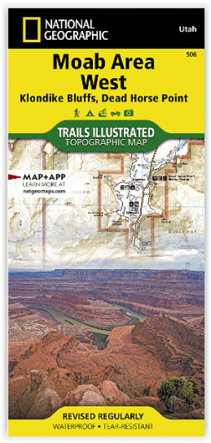
Wandelkaart 506 Moab West - Klondike Bluffs & Dead Horse Point • 9781566959018
Wandelkaart Moab West - Klondike Bluffs & Dead Horse Point Productomschrijving: Deze kaart omvat het westelijke gedeelte van het grote Moab recreatie gebied van het befamde National Geographic's Trails Illustrated. De kaart biedt een overzicht genummerd 506 op onderstaande kaart van het gebied. Het gebied omvat 3 kaarten met nummers, 505, 506 & 507. De 505 is de kaart die alles in één keer…
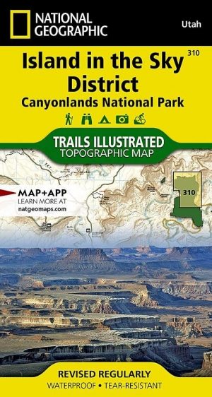
Wandelkaart 310 Canyonlands NP - Island in the Sky District • 9781566954600
TOPO Wandelkaart 310 -Canyonlands NP - Island in the Sky District Productomschrijving: Canyonlands National Park is een Amerikaans nationaal park gelegen in het Zuidoosten van Utah, dichtbij de stad Moab. Het park omvat een kleurrijk landschap, geerodeerd in verschillende canyons door het water van de Colorado River. Het park is verdeeld in 4 districten: the Island in the Sky District, the…
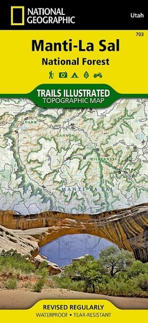
Wandelkaart 703 Manti-La Sal National forest - Natgeo • 9781566953771
TOPO Wandelkaart 703 - Manti-La Sal National forest - Nat Geo Productomschrijving: Het Manti–La Sal National Forest omvat meer dan 4,900 km, en is gelegen in centraal- en zuidoostelijke deel van Utah en het extreme westelijke deel van Colorado. Engelse omschrijving: Expertly researched and created in cooperation with the U.S. Forest Service, Bureau of Land Management and others, Natio…
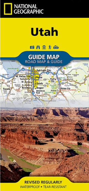
Landkaart Wegenkaart Utah State guide map - Nat Geo • 9781566957236
Wegenkaart Utah State guide map - Nat Geo Productomschrijving: National Geographic's Utah Guide Map is designed to meet the needs of all travelers with by combining a detailed and accurate road map with and an expertly researched travel guide. Find your destination quickly using the user friendly index of cities and towns. Then plan your route on the comprehensive road map, complete with r…