

Wandelkaart 213 Glen Canyon & Capitol Reef NP - Nat Geo
Glen Canyon National Recreation Area & Capitol Reef NP

Korte omschrijving
Wandelkaarten Arizona, USA en Utah, USA van National Geographic. Ideaal voor tochten in Verenigde Staten van Amerika (USA).
Wandelkaart Glen Canyon & Capitol Reef NP - Nat Geo Omvat: Bullfrog Creek, Cataract Canyon, Dirty Devil River, Escalante River, Glen Canyon, Glen Canyon Dam, Glen Canyon National Recreation ...

Specificaties
- Uitgever: National Geographic
- ISBN-13: 9781566953436
- HOOFDCATEGORIEËN: Wandelkaart
- Activiteiten: Wandelen, Hiking & Trekking
- Auteur: National Geographic
- Regio: Arizona, USA, Utah, USA
- Land: Verenigde Staten van Amerika (USA)
- Waterafstotende kaart: Nat Geo waterproof series
- Nationale parken: Capitol Reef NP, Utah USA
- Schaal: 1:90000
- Taal: Engels
Volledige omschrijving
Wandelkaart Glen Canyon & Capitol Reef NP - Nat Geo
Omvat: Bullfrog Creek, Cataract Canyon, Dirty Devil River, Escalante River, Glen Canyon, Glen Canyon Dam, Glen Canyon National Recreation Area, Kaibito Creek, Lake Powell, Mount Hillers, Navajo Creek, Paria River, Rainbow Plateau, Red Canyon, San Juan River, Smoky Mountain, Wahweap Creek, Wilson Mesa.
Engelse omschrijving: Let National Geographic's Trails Illustrated map of Glen Canyon National Recreation Area guide you over the hundreds of miles and 1.2 million acres of this historic, scenic and recreation rich area. Expertly researched and created in cooperation with the National Park Service and others, the map provides unparalleled detail of many popular points of interest, including Lake Powell, Colorado River, Antelope Island, Rainbow Bridge National Monument, Navajo Indian Reservation, Vermilion Cliffs National Monument and Trail of the Ancients Scenic Byway.
Since the recreation area has no maintained trails, you can navigate the area with the help of the map's detailed topography, including shaded relief, contour lines, elevations, labeled peaks and water features. For those who prefer to explore the area by water, Lake Powell is shown with bathymetric shading and contour lines along with correctly positioned and numbered buoys. Additionally, descriptions of Lake Powell marinas is provided along with their contact information. Other recreation features include boat and kayak launch points, campgrounds and scenic views.
Every Trails Illustrated map is printed on "Backcountry Tough" waterproof, tear-resistant paper. A full UTM grid is printed on the map to aid with GPS navigation.
Locatie op kaart
Overzichtskaarten

NAT GEO Utah trail maps
NAT GEO Utah trail maps

Producten op de overzichtskaart
Klik op een product om naar de detailpagina te gaan.
- Wandelkaart 210 Canyonlands NP - Utah - Natgeo
- Wandelkaart 211 Arches National Park- Utah - Natgeo
- Wandelkaart 214 Zion National Park - Natgeo
- Wandelkaart 219 Bryce Canyon NP Utah - Natgeo
- Wandelkaart 267 Capitol Reef NP Utah - Natgeo
- Wandelkaart 702 Cedar Mountain - Utah USA - Nat Geo
- Wandelkaart 703 Manti-La Sal National forest - Natgeo
- Wandelkaart 704 Flaming Gorge- Recreational Area - Utah
- Wandelkaart 705 Mount Dutton & Aquarius Plateau - Nat Geo
- Wandelkaart 213 Glen Canyon & Capitol Reef NP - Nat Geo
Artikelen uit dezelfde regio
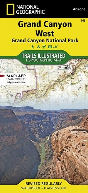
Wandelkaart 263 Grand Canyon West NP- Arizona - Nat Geo • 9781566954969
TOPO Wandelkaart 263 - Grand Canyon West NP - Arizona Productomschrijving: De Grand Canyon is een zeer brede en diepe kloof in het noorden van de Amerikaanse staat Arizona. In de loop van miljoenen jaren heeft het water van de Colorado deze kloof in het landschap doen ontstaan. Deze extreme erosie werd mogelijk doordat het gebied waarin de kloof ligt steeds verder omhoog rees. Engelse …

Wandelkaart 505 Moab Greater Region - Utah USA - Nat Geo • 9781566959001
Wandelkaart Moab Utah USA - Nat Geo Productomschrijving: Moab is een zeer goed gekende locatie in het Amerikaanse Utah, tevens de hoofdplaats van Grand County. Op toeristisch vlak is Moab gekend voor zijn excursies naar de nabijgelegen natuurgebieden Arches en Canyonlands. Daarnaast is Moab de uitvalsbasis voor rafting op de Colorado river en tochten met de mountainbike, waarbij de Slickro…
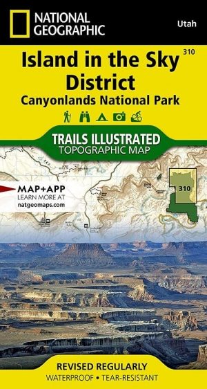
Wandelkaart 310 Canyonlands NP - Island in the Sky District • 9781566954600
TOPO Wandelkaart 310 -Canyonlands NP - Island in the Sky District Productomschrijving: Canyonlands National Park is een Amerikaans nationaal park gelegen in het Zuidoosten van Utah, dichtbij de stad Moab. Het park omvat een kleurrijk landschap, geerodeerd in verschillende canyons door het water van de Colorado River. Het park is verdeeld in 4 districten: the Island in the Sky District, the…

Reisgids Arizona & the Grand Canyon - Insight Guides ENG • 9781839053122
Arizona & the Grand Canyon - Insight Guides Productomschrijving: Van het beslissen wanneer te vertrekken, tot het kiezen wat je wil zien als je er aankomt. Deze Insight Guides boek is alles wat je nodig hebt om uw reis te plannen en ervaar het beste van Arizona en de GrandCanyon, met diepgaande insider informatie over must-see, top attracties zoals Monument Valley, en verborgen culturele …
Reisgids Californië- Arizona- Nevada & Utah - Gottmer • 9789025779139
Californië- Arizona- Nevada & Utah van Gottmer Productomschrijving: Of je nu nieuwsgierig bent naar cultuurbepalende wereldsteden als San Francisco en Los Angeles dan wel je juist graag terugtrekt in de natuur: de zuidwestelijke hoek van de VS is voor iedereen een gebied vol hoogtepunten. Californië trekt het grootste aantal bezoekers, gevolgd door de Grand Canyon in Arizona, de nationale …