

Wandelkaart 216 Welshpool & Montgomery- Powys - OSI
Shropshire Hills- Clun Forest & Westbury Churchtown

Korte omschrijving
Wandelkaarten Powys, Wales van Ordnance Survey. Ideaal voor tochten in Wales.
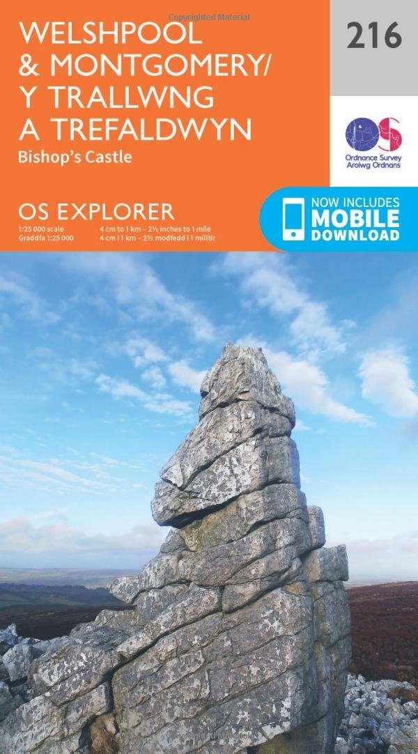
Wandelkaart Welshpool & Montgomery - Powys Wales Omvat ook: Bishop’s Castle. Productbeschrijving: Kaart nummer 216 in de OS Explorer kaarten reeks heeft betrekking op Montgomery (Trefald...

Specificaties
- Uitgever: Ordnance Survey
- ISBN-13: 9780319244098
- HOOFDCATEGORIEËN: Wandelkaart
- Activiteiten: Wandelen, Hiking & Trekking
- Regio: Powys, Wales
- Land: Wales
- TOPO's & Stafkaarten: Topografisch wandelen
- Schaal: 1:25000
- Taal: Engels
- Reeks/Serie: Explorer Series OS
Volledige omschrijving
Wandelkaart Welshpool & Montgomery - Powys Wales
Omvat ook: Bishop’s Castle.
Productbeschrijving: Kaart nummer 216 in de OS Explorer kaarten reeks heeft betrekking op Montgomery (Trefaldwyn). Bishop's Castle en Welshpool (Trallwng). Hoogtepunten van het gebied: de Shropshire Hills, de rivier de Severn, Clun Forest, Westbury, Churchtoewn, Argoed en de Stiperstones. Ook ziet u een gedeelte van Offa's Dyke Path en de Glynd'r Way. De OS Explorer kaart voor Welshpool & Montgomery is beschikbaar in zowel de standaard papieren versie als de weerbestendige 'Actief' versie.
Productdiscription: Map sheet number 216 in the OS Explorer series covers Montgomery (Trefaldwyn). Bishop's Castle, and Welshpool (Trallwng). Highlights of the area include: the Shropshire Hills, River Severn, Clun Forest, Westbury, Churchtoewn, Argoed, and the Stiperstones. Also shows part of Offa’s Dyke Path and Glyndwr’s Way. The OS Explorer map for Welshpool & Montgomery is available in both the standard paper version and weatherproof 'Active' version.
Locatie op kaart
Gekoppelde artikelen

Wandelkaart 216 Welshpool & Montgomery- Powys - OSI • 9780319244098
standaard versieWandelkaart Welshpool & Montgomery - Powys Wales Omvat ook: Bishop’s Castle. Productbeschrijving: Kaart nummer 216 in de OS Explorer kaarten reeks heeft betrekking op Montgomery (Trefaldwyn). Bishop's Castle en Welshpool (Trallwng). Hoogtepunten van het gebied: de Shropshire Hills, de rivier de Severn, Clun Forest, Westbury, Churchtoewn, Argoed en de Stiperstones. Ook ziet u een gedeel…

Wandelkaart 216 Welshpool & Montgomery - Wales - OSI • 9780319470886
weatherproof versieWandelkaart Welshpool & Montgomery - Powys Wales Omvat ook: Bishop’s Castle. Productbeschrijving: Kaart nummer 216 in de OS Explorer kaarten reeks heeft betrekking op Montgomery (Trefaldwyn). Bishop's Castle en Welshpool (Trallwng). Hoogtepunten van het gebied: de Shropshire Hills AONB, rivier Severn, Clun Forest, Westbury, Churchtoewn, Argoed en de Stiperstones. Ook vind u een gedeelt…
Overzichtskaarten

OSI Explorer & Explorer Active - Wales
OSI Explorer & Explorer Active - Wales

Producten op de overzichtskaart
Klik op een product om naar de detailpagina te gaan.
- Wandelkaart 151 Cardiff & Bridgend- Wales - OSI
- Wandelkaart 152 Newport & Pontypool- South Wales - OSI
- Wandelkaart 164 Gower AONB & Gwyr- South Wales - OSI
- Wandelkaart 165 Swansea & Abertawe- South Wales - OSI
- Wandelkaart 166 Rhondda & Merthyr Tydfil - OSI
- Wandelkaart 177 Carmarthen & Kidwelly- Wales - OSI
- Wandelkaart 178 Llanelli- Ammanford & Rhydaman - OSI
- Wandelkaart 185 Newcastle & Emly- Northumberland - OSI
- Wandelkaart 186 Llandeilo- Brechfa Forest- Wales - OSI
- Wandelkaart 187 Llandovery- South Wales - OSI
- Wandelkaart 188 Builth Wells & Llanfair-ym-Muallt - OSI
- Wandelkaart 189 Hereford & Ross-on-Wye- England - OSI
- Wandelkaart 198 Cardigan & New Quay- Wales - OSI
- Wandelkaart 199 Lampeter- Wales - OSI
- Wandelkaart 200 Llandrindod Wells & Elan Valley - OSI
- Wandelkaart 201 Knighton & Presteigne- Wales - OSI
- Wandelkaart 202 Leominster & Bromyard Hererfordshire - OSI
- Wandelkaart 203 Ludlow & Shropshire Hills AONB - OSI
- Wandelkaart 213 Aberystwyth & Cwm Rheidol - Wales - OSI
- Wandelkaart 214 Llanidloes- Newtown & Y Drenewydd - OSI
- Wandelkaart 215 Newtown & Machynlleth- Powys Wales - OSI
- Wandelkaart 216 Welshpool & Montgomery- Powys - OSI
- Wandelkaart 217 Long Mynd & Wenlock Edge - OSI
- Wandelkaart 239 Lake Vyrnwy & Efyrnwy- North Wales - OSI
- Wandelkaart 240 Oswestry & Croesoswallt- Shropshir - OSI
- Wandelkaart 241 Shrewsbury- shropshire England - OSI
- Wandelkaart 253 Lleyn Peninsula West Wales - OSI
- Wandelkaart 254 Lleyn Peninsula East- Wales - OSI
- Wandelkaart 255 Llangollen & Berwyn- West Wales - OSI
- Wandelkaart 256 Wrexham- Wrecsam & Llangollen - OSI
- Wandelkaart 257 Crewe & Nantwich & Cheshire East - OSI
- Wandelkaart 262 Anglesey West- Wales AONB - OSI
- Wandelkaart 263 Anglesey East AONB- Wales - OSI
- Wandelkaart 264 Vale of Clwyd & Dyffryn Clwyd - OSI
- Wandelkaart 265 Clwydian Range & Bryniau Clwyd - OSI
- Wandelkaart 266 Wirral- Chester & Caer- Merseyside - OSI
- Wandelkaart 267 Northwich & Delamere Forest - OSI
- Wandelkaart 275 Liverpool- South West England - OSI
- Wandelkaart OL012 Brecon Beacons Nat. Parc West & Central areas
- Wandelkaart OL013 Brecon Beacons National Parc East - OS
- Wandelkaart OL035 Pembrokeshire National Park North - OS
- Wandelkaart OL036 Pembrokeshire National Park South - OS
- Wandelkaart OL017 Snowdon- Conwy Valley & Dyffryn Conwy - OS
- Wandelkaart OL018 Harlech- Porthmadog & Y Bala - OS
- Wandelkaart OL023 Cadair Idris & Llyn Tegid - OS
Artikelen uit dezelfde regio
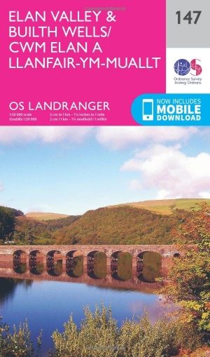
Wandelkaart 147 Elan valley & Builth Wells - Wales - OSI • 9780319262450
Wandelkaart Elan Valley & Builth Wells - South Wales Productbeschrijving: De OS Landranger kaart 147 van Elan Valley & Builth Wells omvat ook Llyn Brianne Reservoir, Caban-coch Reservoir, Gorllwyn, Drygarn Fawr, Glan Fedwen, Bryngwyn Bach en deel van de Glynd'r way. De OS Landranger kaarten reeks heeft betrekking op Groot-Brittannië met 204 gedetailleerde kaarten, perfect voor dagtochten e…

Wandelkaart 214 Llanidloes & Newtown & Y Drenewydd - OSI • 9780319470862
Wandelkaart Llanidloes & Newtown & Y Drenewydd - Wales Omvat ook: Llyn Clywedog. Productbeschrijving: Llanidloes omvat de bron van de rivier de Severn (Afon Hafren). OS Explorer kaart 214 dekt een gebied dat populair is vanwege de brede keuze van voet- en fietspaden. Het gebied in- en rond Clywedog Reservoir (Llyn Clywedog) biedt activiteiten voor wandelingen, groezelig zeilen en visse…
Wandelkaart 161 Black Mountains & Brecon Beacons NP - OSI • 9780319262597
Wandelkaart 161 - Black Mountains & Brecon Beacons NP Productbeschrijving: De Black Mountains range, is fysiek gescheiden van de rest van de Brecon Beacons door de rivier Wye. De Offa's Dyke path en Sugar Loaf Mountain trekt veel wandelaars en adrenaline asielzoekers aan de iconische Welsh regio. U kunt ook een bezoek brengen aan de pittoreske stad van Abergavenny, die slechts 20 mijl vana…

Wandelkaart 188 Builth Wells & Llanfair-ym-Muallt - OSI • 9780319470602
Wandelkaart Builth Wells & Llanfair-ym-Muallt - Wales Omvat ook: Painscastle & Talgarth. Productbeschrijving: Kaart nummer 188 in de OS Explorer kaarten reeks is ideaal voor het ontdekken van het bovenste gedeelte van de Wye Valley rond Builth Wells. De Wye Valley Walk recreatief pad slingert zich langs de rivier Wye en beloofd een spannend terrein te zijn voor het verkennen. Andere ho…

Wandelkaart 188 Builth Wells & Llanfair-ym-Muallt - OSI • 9780319243817
Wandelkaart Builth Wells & Llanfair-ym-Muallt - Wales Productbeschrijving: Painscastle & Talgarth. 188 / Builth Wells & Llanfair-ym-Muallt, Wales - Kaart nummer 188 in de OS Explorer kaart reeks is ideaal voor het ontdekken van het bovenste gedeelte van de Wye Valley rond Builth Wells. De Wye Valley Walk recreatieve pad slingert zich naast de rivier Wye. Andere hoogtepunten van het ge…