

Wandelgids 050 Pathfinder guides Lincolnshire & the Wolds - OS
Lincoln - Lincoln Edge - Boston - River Witham - Somersby


Korte omschrijving
Wandelgidsen lincolnshire van Ordnance Survey. Ideaal voor tochten in England.
Wandelgids Lincolnshire & the Wolds - OS Productomschrijving: The second largest county in England, Lincolnshire offers a surprising diversity of landscape - rolling wolds, coastal reaches,...

Specificaties
- Uitgever: Ordnance Survey
- ISBN-13: 9780319091005
- HOOFDCATEGORIEËN: Wandelgids
- Activiteiten: Wandelen, Hiking & Trekking
- Auteur: Brian Conduit
- Regio: lincolnshire
- Land: England
- Taal: Engels
- Reeks/Serie: Outstanding Circular Walks, Pathfinder Series, OS
- De Engelse Graafschappen: Lincolnshire
Volledige omschrijving
Wandelgids Lincolnshire & the Wolds - OS
Productomschrijving: The second largest county in England, Lincolnshire offers a surprising diversity of landscape - rolling wolds, coastal reaches, marshlands with endless skies and wide and impressive vistas, interspersed with historic market towns, magnificent churches and, of course, the ancient cathedral city of Lincoln.
The county is largely unspoilt and offers a great opportunity for new and unique walking experiences. Outstanding features of the 28 walks in this guide include the Lincoln Edge, Boston and the River Witham, Somersby in the heart of Tennyson Country, and the River Humber. Now fully revised to include GPS data and new Ordnance Survey open access land mapping.

Overzichtskaarten

Overzicht Pathfinder guides - OS
Overzicht Pathfinder guides - OS

Producten op de overzichtskaart
Klik op een product om naar de detailpagina te gaan.
- Wandelgids 001 Pathfinder guides South Devon & Dartmoor NP - OS
- Wandelgids 003 Pathfinder guides Isle of Skye - OS
- Wandelgids 004 Pathfinder guides Cairngorms NP - OS
- Wandelgids 005 Pathfinder guides Cornwall England - OS
- Wandelgids 006 Pathfinder guides Cotswolds AONB - OS
- Wandelgids 007 Pathfinder guides Fort William & Glen Coe - OS
- Wandelgids 008 Pathfinder guides Kent - OS
- Wandelgids 009 Pathfinder guides Exmoor NP & the Quantocks - OS
- Wandelgids 010 Pathfinder guides Snowdonia NP Wales - OS
- Wandelgids 011 Pathfinder guides Dorset England - OS
- Wandelgids 012 Pathfinder New Forest & South Downs NP Hampshire
- Wandelgids 015 Pathfinder guides Yorkshire Dales NP - OS
- Wandelgids 018 Pathfinder guides Brecon Beacons Wales - OS
- Wandelgids 019 Pathfinder guides Dumfries & Galloway - OS
- Wandelgids 020 Pathfinder guides Sherwood Forest - OS
- Wandelgids 022 Pathfinder guides More Lake District - OS
- Wandelgids 023 Pathfinder guides Loch Lomond, Trossachs NP - OS
- Wandelgids 025 Pathfinder guides Thames Valley & Chilterns - OS
- Wandelgids 026 Pathfinder guides Dartmoor National Park - OS
- Wandelgids 027 Pathfinder Perthshire "big county" Angus & Five OS
- Wandelgids 028 Pathfinder guides North York Moors NP - OS
- Wandelgids 029 Pathfinder guides Wye Valley AONB & Forrest of Dean
- Wandelgids 030 Pathfinder guides Loch Ness & Iverness - OS
- Wandelgids 031 Pathfinder guides Oban, Mull & Kintyre - OS
- Wandelgids 034 Pathfinder guides Pembrokeshire Wales - OS
- Wandelgids 035 Pathfinder guides Northumberland- Scottish Borders
- Wandelgids 039 Pathfinder Durham, North Pennines & Tyne & Wear OS
- Wandelgids 041 Pathfinder guides Central Wales - OS
- Wandelgids 042 Pathfinder guides Cheshire England - OS
- Wandelgids 044 Pathfinder guides Essex England - OS
- Wandelgids 045 Pathfinder guides Norfolk - OS
- Wandelgids 046 Pathfinder guides Aberdeen & Royal Deeside - OS
- Wandelgids 047 Pathfinder Edinburgh, Pentlands & Lothians - OS
- Wandelgids 048 Pathfinder guides Suffolk East England - OS
- Wandelgids 049 Pathfinder guides Vale of York East England - OS
- Wandelgids 050 Pathfinder guides Lincolnshire & the Wolds - OS
- Wandelgids 051 Pathfinder guides Cambridgeshire & The Fens - OS
- Wandelgids 053 Pathfinder guides Lancashire NW En England - OS
- Wandelgids 054 Pathfinder guides Hertfordshire & Bedfordshire- OS
- Wandelgids 055 Pathfinder guides Gower, Swansea & Cardiff - OS
- Wandelgids 060 Pathfinder guides Lake District NP - OS
- Wandelgids 063 Pathfinder guides Peak District England - OS
- Wandelgids 064 Pathfinder guides South Pennines - OS
- Wandelgids 065 Pathfinder guides Surrey England - OS
- Wandelgids 066 Pathfinder guides West Sussex & South Downs - OS
- Wandelgids 067 Pathfinder guides South Downs NP & East Sussex- OS
- Wandelgids 068 Pathfinder guides Devon North & Mid - OS
- Wandelgids 069 Pathfinder guides South West England Coastal walks
- Wandelgids 071 Pathfinder guides High Fells of Lakeland - OS
- Wandelgids 073 Pathfinder guides More Peak District - OS
Artikelen uit dezelfde regio
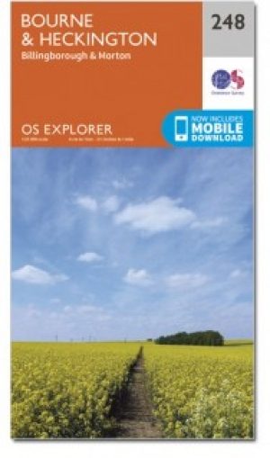
Wandelkaart 248 Bourne & Heckington England - OSI • 9780319471203
Wandelkaart Bourne & Heckington - Lincolnshire England Omvat ook: Billingborough & Morton. Productbeschrijving: OS Explorer kaart 248 toont de steden Bourne, Morton, Billingborough en Heckington, als deel van de Macmillan way na de rivier Glen. Het gebied is grotendeels zeer laag gelegen, met een groot gebied van Fenlands gekenmerkt door drainage sloten. De OS Explorer kaart voor Bourn…

Wandelkaart 284 Grimsby- Cleethorpes & Immingham - OSI • 9780319244814
Wandelkaart Grimsby- Cleethorpes & Immingham - Lincolnshire Productbeschrijving: 284 / Grimsby, Cleethorpes & Immingham, Lincolnshire, England - Deze zeer gedetailleerde kaart omvat alle de administratieve klein grenzen, nederzettingen als geïsoleerde boerderijen, die de navigatie op het platteland veel gemakkelijker maken. Steile hellingen op de wegen worden aangeduid. Diverse beziens…

Wandelkaart 274 Skegness- Alford & Spilsby - OSI • 9780319244715
Wandelkaart Skegness- Alford & Spilsby - Lincolnshire England Omvat ook: Chapel St Leonards & Wainfleet All Saints. Productbeschrijving: Aan de oostkust van Engeland gelegen toont OS Explorer kaart 274 de steden Skegness, Alford en Splisby als ook het omliggende gebied. Het gebied is vooral bekend als een badplaats - de eerste Butlins werden hier geopend in 1936, maar begeeft u zich bu…

Wandelkaart 261 - Boston- Lincolnshire AONB - OSI • 9780319471333
Wandelkaart Boston - Lincolnshire AONB England Omvat ook: Tattershall, Billinghay & Heckington. Productbeschrijving: Boston, Lincolshire omvat een dubbelzijdige OS Explorer kaart 261. Deze kaart toont ook de noordzijde van de Macmillan way, met zijn recreatieve paden. Hoogtepunten van het gebied zijn de steden van Sittard, Billinghay en Heckington, en de kustlijn rond de Wash. De OS Ex…
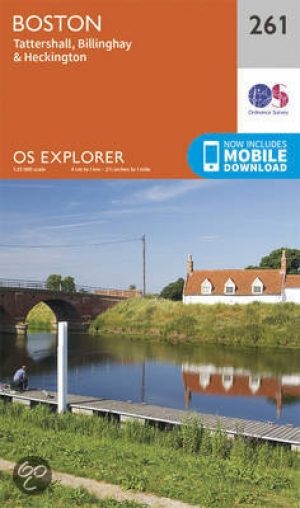
Wandelkaart 261 Boston & Lincolnshire- England - OSI • 9780319244586
Wandelkaart Boston- Lincolnshire England Omvat ook: Tattershall, Billinghay & Heckington. 261 / Boston, Lincolnshire, England - Boston, Lincolshire is gedekt door deze dubbelzijdige OS Explorer kaart 261. Hij toont de noordzijde van de Macmillan way recreatie route aan. Hoogtepunten van het gebied zijn de steden van Sittard, Billinghay en Heckington, de kustlijn rond The Wash. De OS Ex…