

Wandelgids 005 Pathfinder guides Cornwall England - OS
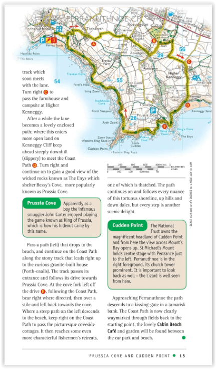
Prussia Cover & Cudden Point- Helford, Little Dennis and Manaccan

Korte omschrijving
Wandelgidsen Cornwall, England van Ordnance Survey. Ideaal voor tochten in England.
Wandelgids Cornwall England - OS Productomschrijving: Pathfinder(R) Cornwall covering Land's End, Prussia Cove and Bodmin Moor. This selection offers interest, regional variety and balance o...

Specificaties
- Uitgever: Ordnance Survey
- ISBN-13: 9780319090299
- HOOFDCATEGORIEËN: Wandelgids
- Activiteiten: Wandelen, Hiking & Trekking
- Auteur: Sue Viccars
- Regio: Cornwall, England
- Land: England
- Taal: Engels
- Reeks/Serie: Outstanding Circular Walks, Pathfinder Series, OS
- De Engelse Graafschappen: Cornwall
Volledige omschrijving
Wandelgids Cornwall England - OS
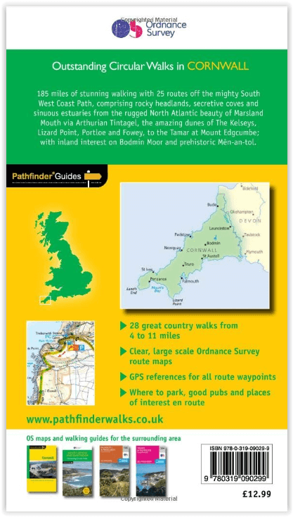
Productomschrijving: Pathfinder(R) Cornwall covering Land's End, Prussia Cove and Bodmin Moor. This selection offers interest, regional variety and balance of routes in Cornwall providing the best walks in the area. From an easy stroll along Falmouth Bay to the much more challenging walks along Looe Bar this volume contains something for everyone.
Covering walks through the whole of Cornwall both popular and little know scenic routes including St Agnes, Tintagel and Portloe. -See walk locations by Looking Inside Inside:
-28 great walks in Cornwall from 2 to 10 miles -Clear, large scale Ordnance Survey route maps -GPS reference for all Cornwall waypoints -Where to park, good pubs and places of interest en route -All routes have been fully researched and written by expert outdoor writers.-Beautiful photography of scenes from the walks Pathfinder(R) Guides are Britain's best loved walking guides. Made with durable covers, they are the perfect companion for countryside walks throughout Britain. Each title features circular walks with easy-to-follow route descriptions, large-scale Ordnance Survey route maps and GPS waypoints.With over 70 titles in the series, they offer essential information for walkers throughout the country.
Contents:
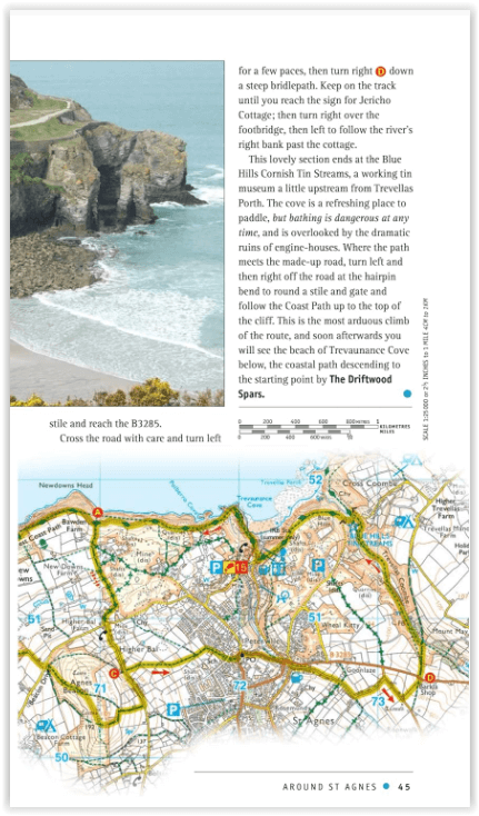
* Mylor, Restronguet Creek and the Pandora Inn * Men-an-tol, the Nine Maidens and Lanyon Quoit * Prussia Cover and Cudden Point * West pentire, the Kelseys and Holywell Bay * Lerryn and St Winnow * Porthcurno, Porthgwarra and St Levan's Church * Polruan and Lanteglos * Helford, Little Dennis and Manaccan * Efford Down and the Bude Canal * Land's End and Nanjizal from Sennen Cove * Falmouth Bay and the Helford River * Hawker Country * Morwenstow and Marsland Mouth * Mount Edgcumbe, the Sound and Cawsand * The Cheesewring and Kilmar Tor * Around St Agnes * Little Petherick Creek, Dennis Hill and the Carnel Trail * Polkerris, Readymoney Cove and Gribbin Head * Stepper Point from Trevone * Looe, Kilminorth Wood and Talland Bay * Portloe and Veryan * Lizard Point, Kynance Cove and Cadgwith * Dizzard Point, St Gennys and Millook Water * Chun Quoit, Pendeen Watch and Botallack * Lamoma, St Loy's and the Merry Maidens * Zennor to St Ives by the Coffin Path * Trebarwith and Delabole * Tintagel, Boscastle and St Nectan's Glen * The Dodman, Gorran Haven and Portmellon.
Overzichtskaarten

Overzicht Pathfinder guides - OS
Overzicht Pathfinder guides - OS

Producten op de overzichtskaart
Klik op een product om naar de detailpagina te gaan.
- Wandelgids 001 Pathfinder guides South Devon & Dartmoor NP - OS
- Wandelgids 003 Pathfinder guides Isle of Skye - OS
- Wandelgids 004 Pathfinder guides Cairngorms NP - OS
- Wandelgids 005 Pathfinder guides Cornwall England - OS
- Wandelgids 006 Pathfinder guides Cotswolds AONB - OS
- Wandelgids 007 Pathfinder guides Fort William & Glen Coe - OS
- Wandelgids 008 Pathfinder guides Kent - OS
- Wandelgids 009 Pathfinder guides Exmoor NP & the Quantocks - OS
- Wandelgids 010 Pathfinder guides Snowdonia NP Wales - OS
- Wandelgids 011 Pathfinder guides Dorset England - OS
- Wandelgids 012 Pathfinder New Forest & South Downs NP Hampshire
- Wandelgids 015 Pathfinder guides Yorkshire Dales NP - OS
- Wandelgids 018 Pathfinder guides Brecon Beacons Wales - OS
- Wandelgids 019 Pathfinder guides Dumfries & Galloway - OS
- Wandelgids 020 Pathfinder guides Sherwood Forest - OS
- Wandelgids 022 Pathfinder guides More Lake District - OS
- Wandelgids 023 Pathfinder guides Loch Lomond, Trossachs NP - OS
- Wandelgids 025 Pathfinder guides Thames Valley & Chilterns - OS
- Wandelgids 026 Pathfinder guides Dartmoor National Park - OS
- Wandelgids 027 Pathfinder Perthshire "big county" Angus & Five OS
- Wandelgids 028 Pathfinder guides North York Moors NP - OS
- Wandelgids 029 Pathfinder guides Wye Valley AONB & Forrest of Dean
- Wandelgids 030 Pathfinder guides Loch Ness & Iverness - OS
- Wandelgids 031 Pathfinder guides Oban, Mull & Kintyre - OS
- Wandelgids 034 Pathfinder guides Pembrokeshire Wales - OS
- Wandelgids 035 Pathfinder guides Northumberland- Scottish Borders
- Wandelgids 039 Pathfinder Durham, North Pennines & Tyne & Wear OS
- Wandelgids 041 Pathfinder guides Central Wales - OS
- Wandelgids 042 Pathfinder guides Cheshire England - OS
- Wandelgids 044 Pathfinder guides Essex England - OS
- Wandelgids 045 Pathfinder guides Norfolk - OS
- Wandelgids 046 Pathfinder guides Aberdeen & Royal Deeside - OS
- Wandelgids 047 Pathfinder Edinburgh, Pentlands & Lothians - OS
- Wandelgids 048 Pathfinder guides Suffolk East England - OS
- Wandelgids 049 Pathfinder guides Vale of York East England - OS
- Wandelgids 050 Pathfinder guides Lincolnshire & the Wolds - OS
- Wandelgids 051 Pathfinder guides Cambridgeshire & The Fens - OS
- Wandelgids 053 Pathfinder guides Lancashire NW En England - OS
- Wandelgids 054 Pathfinder guides Hertfordshire & Bedfordshire- OS
- Wandelgids 055 Pathfinder guides Gower, Swansea & Cardiff - OS
- Wandelgids 060 Pathfinder guides Lake District NP - OS
- Wandelgids 063 Pathfinder guides Peak District England - OS
- Wandelgids 064 Pathfinder guides South Pennines - OS
- Wandelgids 065 Pathfinder guides Surrey England - OS
- Wandelgids 066 Pathfinder guides West Sussex & South Downs - OS
- Wandelgids 067 Pathfinder guides South Downs NP & East Sussex- OS
- Wandelgids 068 Pathfinder guides Devon North & Mid - OS
- Wandelgids 069 Pathfinder guides South West England Coastal walks
- Wandelgids 071 Pathfinder guides High Fells of Lakeland - OS
- Wandelgids 073 Pathfinder guides More Peak District - OS
Artikelen uit dezelfde regio
Wandelkaart 102 Land's End - OSI • 9780319263648
Wandelkaart 102 Explorer Land's End - OSI Productomschrijving: Kaart nummer 102 in de OS Explorer kaartenserie is de perfecte kaart voor het ontdekken van het beroemde gebied rond Land's End, Penzance en St Ives. Het gebied staat bekend als het meest extreem zuidwestelijke punt van Groot-Brittannië. Hoogtepunten zijn: Penzance, Land's End, Mousehole, en Cape Cornwall. Inclusief mobiele…

Wandelkaart 102 Land's End - OSI • 9780319475645
Wandelkaart Explorer Active - Land's End - OSI Productomschrijving: Kaart nummer 102 in de OS Explorer kaartenserie is de perfecte kaart voor het ontdekken van het beroemde gebied rond Land's End, Penzance en St Ives. Het gebied staat bekend als het meest extreem zuidwestelijke punt van Groot-Brittannië. Hoogtepunten zijn: Penzance, Land's End, Mousehole, en Cape Cornwall. Nationa…

Wandelkaart 106 Newquay & Padstow- Cornwall - OSI • 9780319469873
Wandelkaart Newquay & Padstow - Cornwall - OSI Productbeschrijving: Kaart nummer 106 in de OS Explorer kaarten reeks is de ideale kaart voor iedereen die de Cornishe kuststeden van Newquay en Padstow wil gaan bezoeken. Het gebied is beroemd onder vakantiegangers en word bezocht door wandelaars, surfers en mensen die willen genieten van de geneugten van de lokale steden en dorpen. Hoogtepun…

Landkaart Wegenkaart Cornwall England - Freytag & Berndt • 9783707920994
Wegenkaart Cornwall England - Freytag & Berndt Productomschrijving: Cornwall T10 van Freytag & Berndt met schaal 1:150 000 Deze recto/verso gedetailleerde landkaart van Cornwall is zeer geschikt voor het plannen en voor het rondtrekken door het land. Het wegennetwerk is goed weergeven, zowel de hoofdwegen, de provinciale en lokale wegen. Tevens worden wegnummers duidelijk vermeld. …
Wandelkaart 200 Newquay- Bodmin & Camelford - OSI • 9780319475799
Wandelkaart Newquay- Bodmin & Camelford Cornwall Productomschrijving: Kaart nummer 200 in de OS Landranger kaartenserie is de perfecte kaart voor het plannen van dagjes uit en rondreizen in de gebieden Newquay, Bodmin, Camelford en St Austell in Cornwall. Newquay en omgeving is beroemd om zijn surfstranden en is een geliefde vakantiebestemming. Hoogtepunten van het gebied zijn: Padstow…