

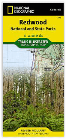
Wandelkaart 218 Redwood National & State Parks - Nat Geo
Big Lagoon- Klamath National Forest- Klamath River & Lake Earl
Korte omschrijving
Wandelkaarten Californië, USA van National Geographic. Ideaal voor tochten in Verenigde Staten van Amerika (USA).
Redwood National & State Parks California - Nat Geo Omvat: Big Lagoon, Klamath National Forest, Klamath River, Lake Earl, Maple Creek, Pelican Bay, Point Saint George, Redwood, Rocky Point, ...

Specificaties
- Uitgever: National Geographic
- ISBN-13: 9781566953191
- HOOFDCATEGORIEËN: Wandelkaart
- Activiteiten: Wandelen, Hiking & Trekking
- Auteur: National Geographic
- Regio: Californië, USA
- Land: Verenigde Staten van Amerika (USA)
- Waterafstotende kaart: Nat Geo waterproof series
- Nationale parken: Redwood Nationale Park, California USA
- Schaal: 1:70000
- Taal: Engels
Volledige omschrijving
Redwood National & State Parks California - Nat Geo
Omvat: Big Lagoon, Klamath National Forest, Klamath River, Lake Earl, Maple Creek, Pelican Bay, Point Saint George, Redwood, Rocky Point, Saint George Reef, Siskiyou Mountains, Siskiyou National Forest, Siskiyou Wilderness, Six Rivers National Forest, Smith River, Trinidad Head.
Engelse omschrijving: Let National Geographic's Trails Illustrated map of Redwood National and State Parks guide you on your adventure among the tallest trees in the world. Expertly researched and created in partnership with the National Park Service, California States Parks, U.S. Forest Service and others, the map has bountiful information and safety tips that are essential when exploring the area. Some of the key points of interest included are Six Rivers National Forest, Smith River National Recreation Area, North Fork Smith River Botanical Area, Siskiyou Wilderness, Humboldt Lagoons State Park and Yurok Indian Reservation.
The map will guide you to trailheads and then along clearly marked trails with mileage indicators between intersections, colored according to their designated usage. There is a table of featured hikes, including trail name, distance, difficulty and trail description. Additionally, the map base includes contour lines and elevations for peaks and summits. For those preferring an aquatic adventure, mileage markers are also included along the Klamath Wild and Scenic River. The Redwood Highway Scenic Byway is marked for those wishing to explore the area by car.
Many recreation activities are available in the area and marked on the map, including motorized and non-motorized boat launches; river and beach access points; swimming and windsurfing areas; campgrounds, primitive campsites and cabins; and lookout towers and wildlife viewing areas.
Every Trails Illustrated map is printed on "Backcountry Tough" waterproof, tear-resistant paper. A full UTM grid is printed on the map to aid with GPS navigation.

Locatie op kaart
Overzichtskaarten

NAT GEO California trail maps
NAT GEO California trail maps

Producten op de overzichtskaart
Klik op een product om naar de detailpagina te gaan.
- Wandelkaart 205 Sequoia & Kings Canyon NP - California
- Wandelkaart 218 Redwood National & State Parks - Nat Geo
- Wandelkaart 221 Death Valley NP - Nevada - Natgeo
- Wandelkaart 226 Joshua Tree NP - California - Nat Geo
- Wandelkaart 256 Mojave National park California - Nat Geo
- Wandelkaart 306 Yosemite SW- Yosemite Valley - Nat Geo
- Wandelkaart 307 Yosemite NP North West - Nat Geo
- Wandelkaart 308 Yosemite NE- Tuolumne Meadows - Nat Geo
Artikelen uit dezelfde regio
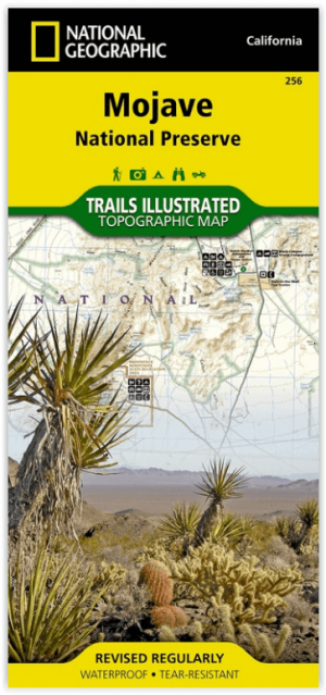
Wandelkaart 256 Mojave National park California - Nat Geo • 9781566953832
Wandelkaart - Mojave National park California - Nat Geo Productomschrijving: Gelegen op de samenloop van de Mojave, Sonoran, en Great Basin woestijn regio's, Mojave National Preserve is een van de meest diverse woestijn omgevingen in de wereld. Verken de Joshua Tree bossen, zandduinen, vulkanische sintelkegels, kilometershoge bergen en uitgestrekte vergezichten van deze unieke regio met Na…

Reisgids San Francisco & Northern California - DK Eyewitness • 9780241360071
San Francisco & Northern California Omvat: Presidio, Pacific Heights and the Marina, Fisherman's Wharf and North Beach, Chinatown and Nob Hill, Financial District and Union Square, Civic Center, Haight Ashbury and the Mission, Golden Gate Park and Land's End, and sights beyond the city, plus major parts of Northern California including Carmel, Mendocino, Napa Wine Country, Lake Tahoe & Yos…

Wandelkaart 268 Lassen Volcanic NP - California - Nat Geo • 9781566956796
TOPO Wandelkaart 268 - Lassen Volcanic NP - Nat Geo Productomschrijving: Het Lassen Volcanic National Park is een Amerikaans nationaal park in het noordoosten van de staat Californië. Het meest in het oog springende kenmerk in het park is de Lassen Peak, een 3181 meter hoge kegelvulkaan en de meest zuidelijke vulkaan in het Cascadegebergte. Engelse omschrijving: Lassen Volcanic Nation…

Reisgids Californie et parcs nationaux Coups de Coeur - Gallimard • 9782742467693
Reisgids Californie et parcs nationaux - Gallimard Productomschrijving: Het Amerikaanse California, is groot als mede hun Nationale parken. • 180 photos, des cartes, des plans et des infographies • Les sites et visites incontournables • Toutes nos adresses coups de cœur • Un reportage inédit qui vous emmène hors des sentiers battus • Deux itinéraires de 4 jours, l'un à San Fra…

Stadskaart plattegrond San Francisco USA - Borch • 9783866093317
Wandelkaart San Francisco USA - Borch Productomschrijving: Our soft-laminated folded map of San Francisco in the 16th edition shows: San Francisco Downtown 1:13 000, Alcatraz Island 1: 15 000, Golden Gate Park 1:13 000, San Francisco and Region 1:150 000, San Francisco Bay Area 1:400 000, Public Transport San Francisco, Top 30 Sights and USA administrative and time zones. Borch maps are ea…