
HOOFDCATEGORIEËN
De Australische Regio's
Reeks/Serie:
Uitgever:
Land
Regio
Schaal
Nationale parken
Regionale parken
Uitgever

 Beste Wegenkaarten Oceanië
Beste Wegenkaarten Oceanië, Verken eenvoudig Australië, Nieuw-Zeeland & Tasmanië
Wanneer je Oceanië wilt ontdekken, zijn gedetailleerde wegenkaarten essentieel voor een zorgeloze ervaring. Uitgevers zoals Hema Maps & ITMB leveren betrouwbare kaarten, specifiek ontworpen voor avontuurlijke reizigers. Hema Maps biedt uitgebreide wegenkaarten voor Australië, waarmee je eenvoudig iconische steden zoals Sydney en Melbourne kunt bezoeken, inclusief beroemde attracties zoals het Sydney Opera House en the Great Ocean Road. De gedetailleerde kaarten van Hema Maps zijn bovendien ideaal voor het verkennen van de Australische Outback, inclusief Uluru (Ayers Rock) en het Kakadu National Park.
Voor reizigers naar Nieuw-Zeeland zijn ITMB-kaarten een ideale keuze. Deze kaarten begeleiden je moeiteloos naar populaire bestemmingen zoals Queenstown, bekend als avonturenhoofdstad, Milford Sound met zijn indrukwekkende fjorden, en de historische stad Christchurch. Praktische informatie zoals voorzieningen, parkeerplaatsen en uitkijkpunten staan helder aangegeven.
De uitgevert maakte handige kaarten voor het kleinere eiland Tasmanië. Hier ontdek je moeiteloos Hobart, beroemd om haar historische haven en levendige Salamanca Market, en natuurschoon zoals Cradle Mountain-Lake & St Clair National Park. Dankzij deze uitgevers geniet je optimaal van je roadtrip in Oceanië.


Landkaart Wegenkaart Western Australia state handy map - Hema • 9321438001560
Wegenkaart Western Australia state handy map - Hema Productomschrijving: A compact map of Western Australia (WA) for touring throughout the state with a distance grid and index for planning and reference. Marked on the mapping are highways, major and minor roads, camping and rest areas, 24-hour fuel, information centres, picnic areas, caravan parks and lookouts.
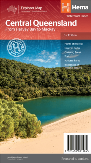
Landkaart Wegenkaart Explorer Map Centraal Queensland - Hema Maps • 9321438001584
Explorer Map Centraal Queensland - Hema Productomschrijving: A regional map of central Queensland (1:1,000,000) that stretches inland past Jericho and from Maryborough in the south to Mackay in the north. On the opposite side is tourist information on the region, as well as inset maps of Mackay, the Capricorn Coast, Gladstone, Bundaberg, Rockhampton, and the Gemfields. Accompanying e…
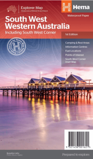
Landkaart Wegenkaart West & Zuidwest-Australië NP's - Hema • 9321438001621
Landkaart West & Zuidwest-Australië - Hema Productomschrijving: A regional map for discovering South West & Western Australia (WA). On the reverse side of the map are detailed inset maps of Nambung National Park, Avon Valley National Park, Lane Poole Reservation, the South West Corner, Stirling Range National Park, D'Entrecastreaux National Park and Albany Coast. Also included is tourist …
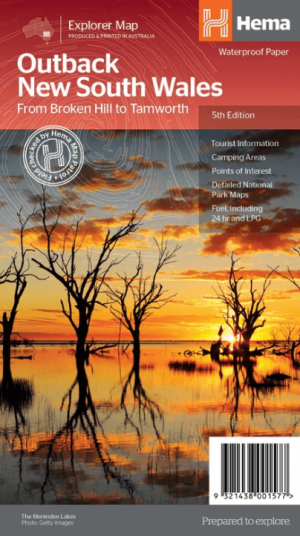
Landkaart Wegenkaart Explorer Map Outback New South Wales - Hema • 9321438001577
Explorer Map Outback New South Wales - Hema Productomschrijving: A regional map of the outback NSW (1:1,100,000) that ranges from Tamworth in the east to Broken Hill in the west, as well as from Wagga Wagga in the south to past the Queensland border in the north. On the opposite side is extensive information on numerous regions, including visitor, historical and background information. …
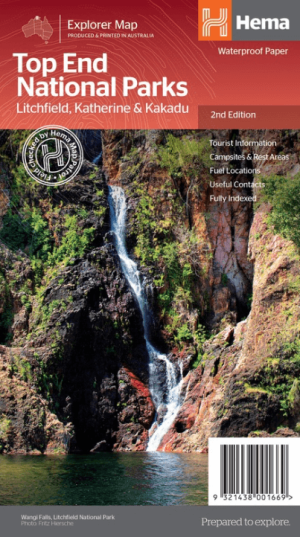
Landkaart Wegenkaart Explorer Map Top End National Parks - Hema • 9321438001669
Explorer Map Top End National Parks - Hema Productomschrijving: A regional map that features Litchfield National Park(1:160,000), Katherine Gorge and Kakadu (1:350,000) national parks. A Darwin region map is included (1:850,000) along with extensive tourist information for Darwin and the surrounding region, Arnhem Highway to Kakadu, Mary River, Stuart Highway to Katherine, Litchfield …

Landkaart Wegenkaart Explorer Map Noord Queensland - Hema Maps • 9321438002116
Explorer Map Noord Queensland - Hema Productomschrijving: This completely new version of North Queensland (QLD) is the ideal map for discovering the many destinations between Mackay and The Tip. The mapping is at a touring scale of 1:750,000, with terrain shading and touring symbols giving an accurate and informative overview of the region. There is a detailed inset map for Mackay and…
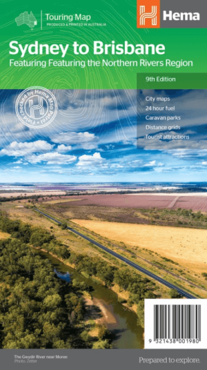
Landkaart Wegenkaart Sydney tot Brisbane - Hema Maps • 9321438001980
Wegenkaart Sydney tot Brisbane - Hema Productomschrijving: A city to city map designed for the journey from Sydney to Brisbane via the Pacific and New England Highways (1:1,000,000), with tourist information on towns and regions within the trip on the opposite side. Omvat: The Northern Rivers Region! • City maps • 24-hour fuel • Camping areas • Distance grids • Tourist att…

Landkaart Wegenkaart Tasmanië state map - Hema Maps • 9321438002208
Wegenkaart Tasmanië state map - Hema Productomschrijving: A fully indexed state map of Tasmania (TAS) at a scale of 1:480,000. Marked on the mapping are national parks, 24-hour fuel as well as camping and rest areas. On the reverse are regional maps of Launceston and Hobart, as well as CBD maps of Hobart, Launceston, Devonport and Burnie.
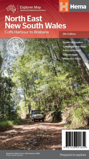
Landkaart Wegenkaart North East New South Wales - Hema Maps • 9321438001652
Wegenkaart North East, New South Wales - Hema Productomschrijving: A regional map of North East New South Wales (1:375,000) that is the perfect companion for touring through North East New South Wales (NSW). The map features information on the major touring routes through the region including the Summerland Way, Bruxner Highway, Waterfall Way and Gwydir Highway, as well as major tourist a…

Landkaart Wegenkaart Iconic Map Top End and Gulf - Hema • 9321438001614
Iconic Map Top End and Gulf - Hema Productomschrijving: A regional waterproof map of the Top End and Gulf for discovering the region by 4WD. Combining with the main map are inset maps of the Darwin region, Gregory National Park, Nhulunbuy, Keep River National Park and Boodjamulla (Lawn Hill) National Park. There is additional tourist information for Arnhem Land, the Roper River trek, Darw…

Landkaart Wegenkaart Explorer Map Zuidoost Queensland - Hema Maps • 9321438001638
Explorer Map Zuidoost Queensland - Hema Productomschrijving: A regional map of South East Queensland (1:500,000) that stretches from the New South Wales-Queensland border to past Bundaberg, with maps of the Brisbane Region (1:300,000), Brisbane City and the Gold Coast on the opposite side. KEY FEATURES - Inset Maps (Brisbane City and Gold Coast) - Camping & rest areas - Caravan …

Landkaart Wegenkaart West & Midden-Westen Australië NP's - Hema • 9321438002109
Landkaart West & Midden-Westen Australië - Hema Produductomschrijving: A regional map of Mid West Western Australia that covers from Cape Range National Park south to Mandurah and as far as Kalgoorlie at a scale of 1:1,250,000 that has camping areas, national parks, fuel supplies and facility symbols marked on the map. On the reverse is region-specific touring information for Wildflower c…

Wegenkaart Explorer Map Victoria High Country map 4-Set - Hema • 9321438002093
Explorer Map Victoria High Country map 4-Set - Hema Productomschrijving: Hema’s The Victorian High Country Map Pack presents Hema's iconic The Victorian High Country series in a soft and durable map wallet (including four detailed maps). Explore Victoria's 4WD mecca with these comprehensive maps that traverse one of Australia's most diverse mountainous regions — each map waterproof, tear …
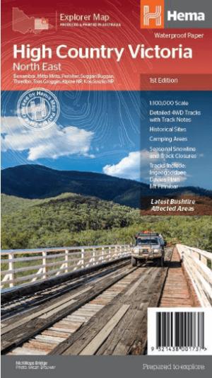
Landkaart Wegenkaart Victoria High Country Noordoost - Hema • 9321438001737
Wegenkaart Victoria High Country Noordoost - Hema Productomschrijving: This map is part of Hema's new Victorian High Country Map Series and covers the Northern Borderlands Area from Omeo to Jindabyne. Printed on durable waterproof paper, this map features Hema's iconic mapping and extensive points of interest. Featuring roads and 4WD tracks field-checked by the Hema Map Patrol for superio…

Landkaart Wegenkaart Victoria High Country Noordwest - Hema • 9321438001720
Wegenkaart Victoria High Country Noordwest - Hema Productomschrijving: This map is part of Hema's new Victorian High Country Map Series and covers the North Western Alps Area including Hotham, Wangaratta and surrounds. Printed on durable waterproof paper, this map features Hema's iconic mapping and extensive points of interest. Featuring roads and 4WD tracks field-checked by the Hema Map P…

Landkaart Wegenkaart Victoria High Country Zuidoost - Hema • 9321438001744
Wegenkaart Victoria High Country Zuidoost - Hema Productomschrijving: This map is part of Hema's new Victorian High Country Map Series and covers the Southern Lowlands and Lakes Areas including Gippsland and Snowy River National Park. Printed on durable waterproof paper, this map features Hema's iconic mapping and extensive points of interest. Featuring roads and 4WD tracks field-checked …

Landkaart Wegenkaart Victoria High Country Zuidwest - Hema • 9321438001751
Wegenkaart Victoria High Country Zuidwest - Hema Productomschrijving: This map is part of Hema's new Victorian High Country Map Series and covers the Southern Ranges Areas including Baw Baw to Dargo and surrounds. Printed on durable waterproof paper, this map features Hema's iconic mapping and extensive points of interest. Featuring roads and 4WD tracks field-checked by the Hema Map Patro…

Landkaart Wegenkaart Explorer Map Nullarbor Plain - Eastern Map • 9781925625998
Explorer Map Nullarbor Plain - Eastern Map - Hema Productomschrijving: This map is part of Hema's new Nullarbor Plain Map Series (East and West) and covers Border Village to Port Pirie including the Eyre Peninsula. Truly one of the worlds great adventure drives, Australia's semi-arid Nullarbor Plain stretches some 1,256 kilometres (781 miles) via the Eyre Highway and links the cities …
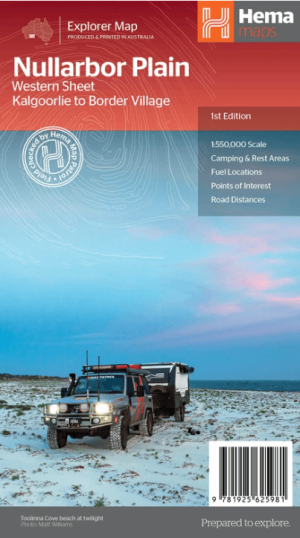
Landkaart Wegenkaart Explorer Map Nullarbor Plain - Western Map • 9781925625981
Explorer Map Nullarbor Plain Western Map - Hema Productomschrijving: This map is part of Hema's new Nullarbor Plain Map Series and covers the area from Kalgoorlie to Border Village and its surrounds. Truly one of the worlds great adventure drives, Australia's semi-arid Nullarbor Plain stretches some 1,256 kilometres (781 miles) via the Eyre Highway and links the cities of Adelaide and…

Landkaart Wegenkaart Zuidoost van New South Wales - Hema Maps • 9781925625967
Wegenkaart Zuidoost van New South Wales - Hema Productomschrijving: A regional map of South East New South Wales (1:385,000) that ranges from Wollongong down to the Victoria border and out to Gundagai and past Jindabyne in the West. Covers: Illawarra, Jervis Bay & Shoalhaven, Batemans Bay, Canberra & surrounds, Merimbula & Sapphire Coast, Southern Highlands, Goulburn Region and the S…

Landkaart Australia Australië - Hema Maps • 9781922668004
Landkaart wegenkaart Australia Australië - Hema Maps Productomschrijving: Hema’s iconic large map of Australia is ideal as a trip planning tool and travel companion. Marked on the map are localities, the major road network, distances and major national parks. The map also shows localities, the major road network, distances and major national parks. The visual appeal makes it perfect as a …

Landkaart Australië Great Desert Tracks (West) - Hema Maps • 9781922668059
Australië Great Desert Tracks (West) - Hema Productomschrijving: Great Desert Tracks Western Sheet (9th edition) - covering from beyond Derby in the north to Norseman in the south, and from Halls Creek in the east to Marble Bar in the west, the Great Desert Tracks Western Sheet is essential for anyone travelling to this remote part of the Australian outback. Hema's Great Desert Tracks …
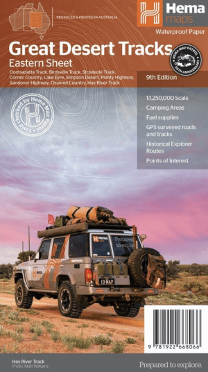
Landkaart Australië Great Desert Tracks (Oost) - Hema Maps • 9781922668066
Australië Great Desert Tracks Oost - Hema Productomschrijving: Great Desert Tracks Eastern Sheet (9th edition) - covering from Tennant Creek in the north to Port Pirie in the south, and from Cunamulla in the east to Alice Springs in the west this map is essential for anyone travelling in this remote part of outback Australia. Hema's Great Desert Tracks maps are essential for anyone tr…

Landkaart Centraal Australië Great Desert Tracks - Hema Maps • 9781922668080
Centraal Australië Great Desert Tracks - Hema Productomschrijving: Great Desert Tracks Central Sheet (9th edition) - covering from Judbarra/Gregory National Park in the north to Ceduna in the south, and from Halls Creek in the west to Coober Pedy in the east. Marked on the mapping are roads and 4WD tracks checked by the Hema Map Patrol, distance markers, topographical relief and touring p…

Landkaart Wegenkaart Great Desert Tracks Simpson Desert - Hema • 9781922668073
Wegenkaart Great Desert Tracks Simpson Desert - Hema Productomschrijving: Great Desert Tracks Simpson Desert (9th edition) - discover the Simpson Desert with detailed mapping, relevant points of interest and essential touring information for the journey. Hema's Great Desert Tracks maps are essential for anyone travelling in the Australian outback. The mapping features roads and 4WD tr…
Complete Wegenkaarten Oceanië
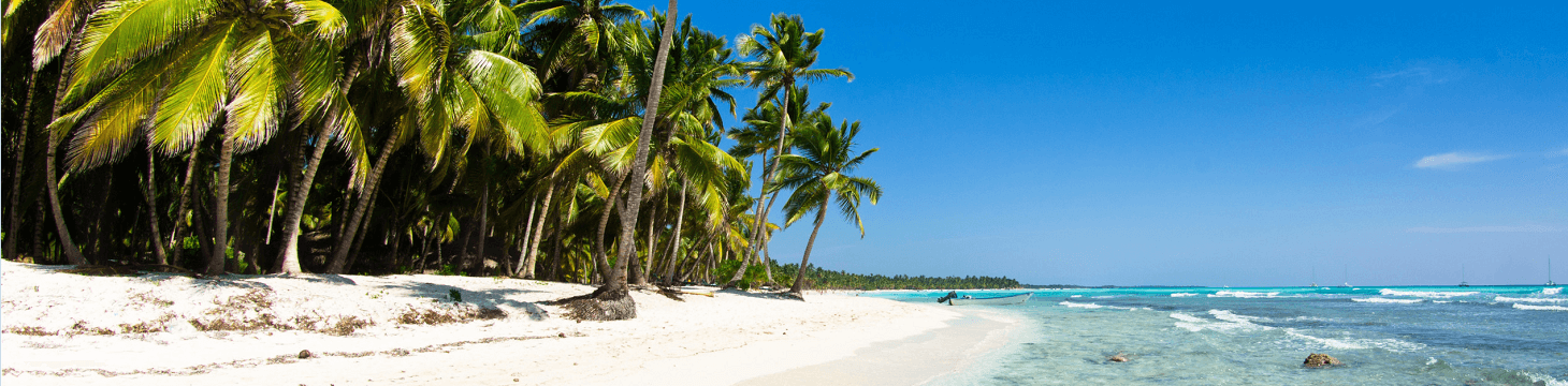
Complete Wegenkaarten Oceanië, Reis eenvoudig door de Tasmaanse jungle!
Een ontspannen roadtrip in de idyllische eilandregio van Oceanië vraagt om duidelijke wegenkaarten. Uitgevers zoals Nelles Maps & ITMB en bieden gedetailleerde kaarten voor reizigers die de eilandgroepen Fiji, Samoa en Frans-Polynesië willen verkennen. Nelles Maps-kaarten zijn ideaal om de Fiji-eilanden te ontdekken, inclusief populaire locaties zoals Nadi, Suva en de schilderachtige Coral Coast. Deze kaarten tonen praktische details zoals resorts, stranden en lokale voorzieningen.
ITMB-kaarten leveren overzichtelijke kaarten voor Samoa, bekend om haar prachtige stranden, watervallen zoals Afu Aau, en culturele hoogtepunten in Apia, zoals het Robert Louis Stevenson Museum. Deze kaarten helpen je moeiteloos je weg te vinden op deze tropische eilanden.
De uitgevers bieden praktische kaarten voor reizigers naar Frans-Polynesië. Verken eenvoudig Bora Bora, met haar adembenemende lagunes en luxe resorts, Tahiti met hoofdstad Papeete en Moorea, bekend om zijn spectaculaire uitzichten en avontuurlijke activiteiten. Dankzij duidelijke aanduidingen van toeristische hotspots en faciliteiten ervaar je deze regio zorgeloos en comfortabel.
Praktische Wegenkaarten Oceanië
Praktische Wegenkaarten Oceanië, Ontdek eenvoudig Nieuw-Caledonië, Papoea-Nieuw-Guinea & Cookeilanden!
Voor wie minder bekende eilanden in Oceanië wil ontdekken, bieden uitgevers als Reise Know-How, ITMB en Freytag & Berndt perfecte wegenkaarten. Reise Know-How levert heldere kaarten van Nieuw-Caledonië, waarmee je eenvoudig hoofdstad Nouméa kunt verkennen, inclusief haar Franse koloniale sfeer en stranden zoals Anse Vata.
ITMB-kaarten zijn ideaal voor avontuurlijke reizigers naar Papoea-Nieuw-Guinea. Deze kaarten begeleiden je duidelijk naar steden zoals Port Moresby en populaire avontuurlijke routes zoals de Kokoda Track. Bovendien geven ze uitgebreide informatie over voorzieningen en lokale culturele locaties.
Freytag & Berndt biedt overzichtelijke kaarten voor de Cookeilanden, een prachtige bestemming bekend om Rarotonga met haar tropische stranden en Aitutaki, beroemd vanwege haar turkooizen lagune. Dankzij praktische informatie over verblijfplaatsen, restaurants en parkeerplaatsen wordt jouw reis comfortabel en ontspannen. Of je nu kiest voor avontuur of ontspanning, deze kaarten garanderen een probleemloze ervaring in Oceanië.